Download
Preview
Add to list
More
8.8 km
~1 hrs 59 min
138 m
Loop
“Explore Teufelskirche Loop via Zeidlerweg for a scenic, moderately challenging 9 km hike rich in history.”
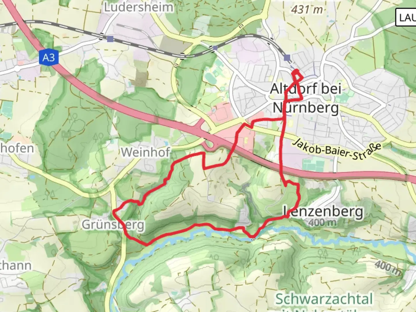
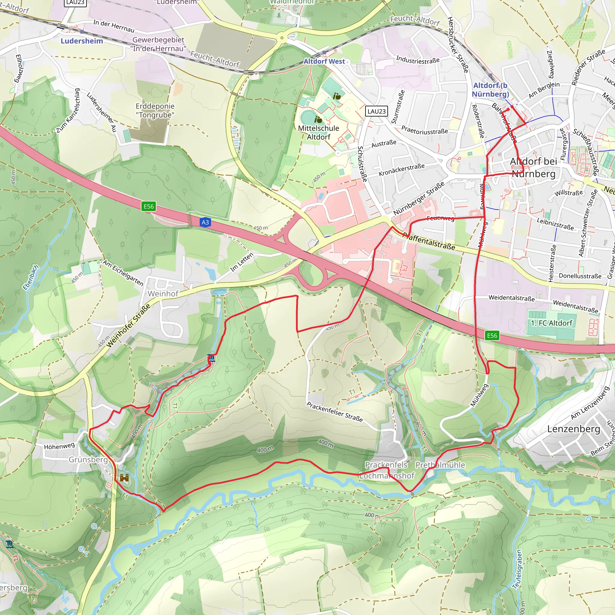
Starting near the picturesque region of Nürnberger Land in Germany, the Teufelskirche Loop via Zeidlerweg offers a delightful 9 km (approximately 5.6 miles) journey with an elevation gain of around 100 meters (328 feet). This loop trail is rated medium in difficulty, making it accessible for most hikers with a moderate level of fitness.### Getting There To reach the trailhead, you can drive or use public transport. If driving, set your GPS to the nearest known address: Nürnberger Land, Germany. For those using public transport, take a train to the nearest station in Lauf an der Pegnitz, and from there, you can catch a local bus or taxi to the trailhead.### Trail Highlights and Landmarks The trail begins with a gentle ascent through dense forests, offering a serene start to your hike. As you progress, you'll encounter the first significant landmark, the Teufelskirche, or "Devil's Church." This natural rock formation is steeped in local folklore and offers a fascinating glimpse into the region's geological history. The rock formations here are particularly striking, with jagged edges and unique shapes that have been sculpted by natural forces over millennia.### Flora and Fauna The trail is rich in biodiversity. Keep an eye out for native wildlife such as deer, foxes, and a variety of bird species. The forested areas are home to oak, beech, and pine trees, providing ample shade and a cool environment even during the warmer months. In spring and early summer, the forest floor is often carpeted with wildflowers, adding a splash of color to your hike.### Historical Significance The region around Nürnberger Land has a rich history dating back to medieval times. The Zeidlerweg, part of the trail's name, refers to the ancient practice of beekeeping, which was a significant industry in the area. As you hike, you may come across old beekeeping sites and historical markers that provide insight into this traditional craft.### Navigation and Safety For navigation, it's highly recommended to use the HiiKER app, which provides detailed maps and real-time updates. The trail is well-marked, but having a reliable navigation tool will ensure you stay on track. The terrain is varied, with some rocky sections and occasional steep inclines, so sturdy hiking boots are advisable. Carry enough water and snacks, as there are limited facilities along the route.### Final Stretch The final part of the loop takes you through open meadows and past small streams, offering a peaceful end to your hike. The gentle descent back to the trailhead provides ample opportunity to reflect on the natural beauty and historical richness of the area.This trail offers a perfect blend of natural beauty, historical intrigue, and moderate physical challenge, making it a rewarding experience for any hiker.
What to expect?
Activity types
Comments and Reviews
User comments, reviews and discussions about the Teufelskirche Loop via Zeidlerweg, Germany.
4.44
average rating out of 5
9 rating(s)
