Download
Preview
Add to list
More
7.7 km
~2 hrs 23 min
509 m
Loop
“Explore historical sites, scenic views, and diverse wildlife on an 8 km moderate loop near Happurg!”
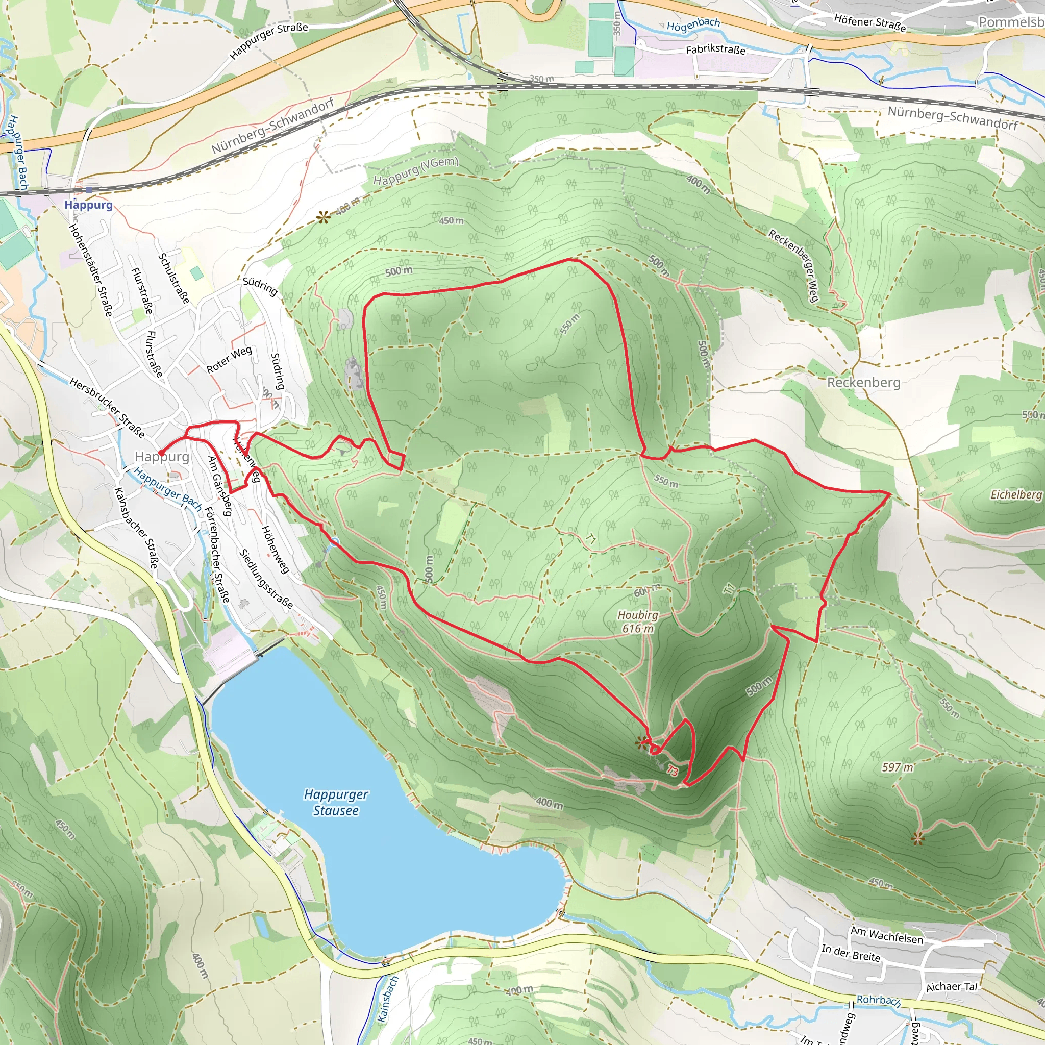
Starting near Nürnberger Land, Germany, this 8 km (approximately 5 miles) loop trail offers a moderate challenge with an elevation gain of around 500 meters (1,640 feet). The trailhead is easily accessible by car or public transport. If you're driving, you can park near the village of Happurg. For those using public transport, take a train to Hersbruck and then a local bus to Happurg.
Initial Ascent and Houbirg Plateau
The trail begins with a steady ascent through dense forest, providing a cool and shaded start to your hike. As you climb, you'll notice the terrain becoming rockier, a hint of the geological wonders to come. After about 2 km (1.2 miles) and an elevation gain of roughly 200 meters (656 feet), you'll reach the Houbirg Plateau. This area is not only a natural marvel but also a site of historical significance. The plateau was once home to a Celtic oppidum, an ancient fortified settlement. Keep an eye out for remnants of old walls and ditches that date back to the Iron Age.
Hohler Fels and Scenic Views
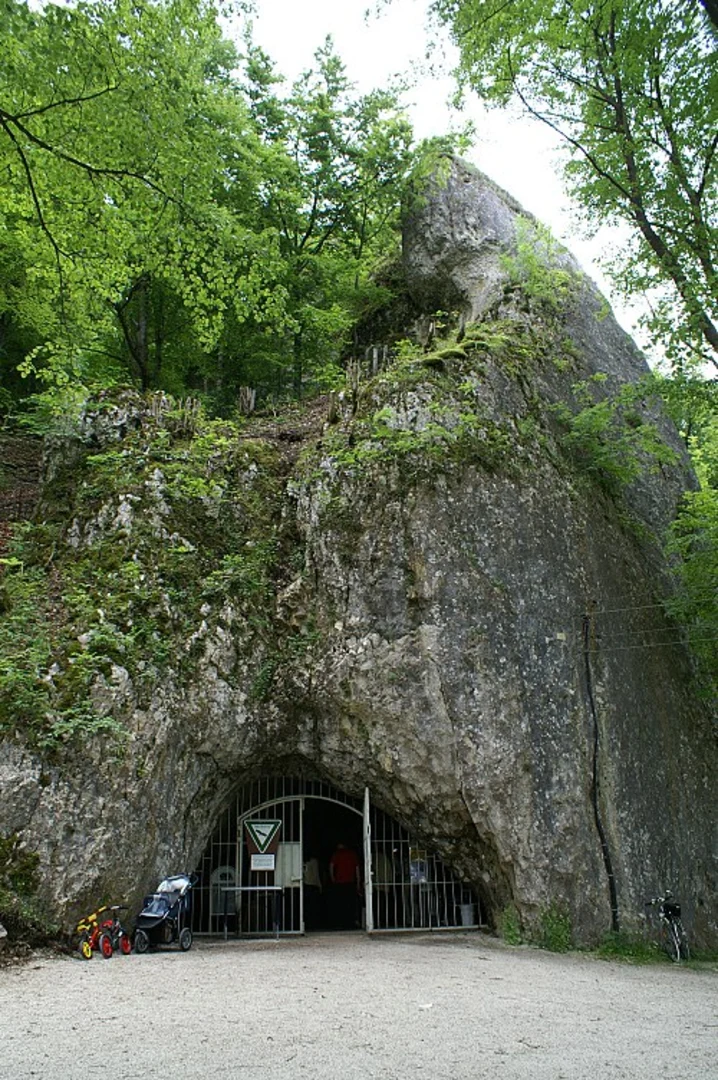
Continuing along the trail, you'll soon approach Hohler Fels, a striking limestone formation. This section is particularly scenic, offering panoramic views of the surrounding Franconian landscape. The Hohler Fels itself is a natural cave that has been used by humans for thousands of years, from prehistoric times to the Middle Ages. It's a great spot to take a break and soak in the history and natural beauty.
Wildlife and Flora
As you make your way through the trail, you'll traverse various ecosystems, from dense forests to open meadows. This diversity supports a wide range of wildlife. Keep an eye out for deer, foxes, and a variety of bird species. The flora is equally diverse, with oak, beech, and pine trees dominating the forested areas, while wildflowers and grasses flourish in the meadows.
Navigation and Safety
The trail is well-marked, but it's always a good idea to have a reliable navigation tool. HiiKER is an excellent app for this purpose, providing detailed maps and real-time tracking to ensure you stay on course. The terrain can be uneven and rocky, so sturdy hiking boots are recommended. Also, be prepared for sudden weather changes, as the elevation can bring unexpected rain or wind.
Return to Happurg
The final stretch of the trail descends back towards Happurg, offering a gentle cooldown after the more strenuous sections. This part of the hike is less forested, providing more open views and a different perspective of the landscape. After about 8 km (5 miles) and a total elevation gain of 500 meters (1,640 feet), you'll find yourself back at the trailhead, enriched by the natural beauty and historical depth of the region.
What to expect?
Activity types
Comments and Reviews
User comments, reviews and discussions about the Houbirg and Hohler Fels via Rundweg Happurg and Gruenstrich, Germany.
4.17
average rating out of 5
6 rating(s)

