Download
Preview
Add to list
More
7.6 km
~1 hrs 35 min
44 m
Loop
“Explore lush forests, meadows, and serene lake views on the accessible Rundwanderung Döllnitzsee trail.”
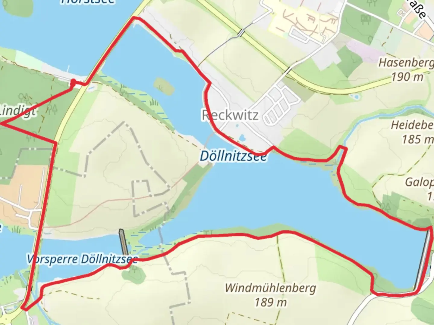
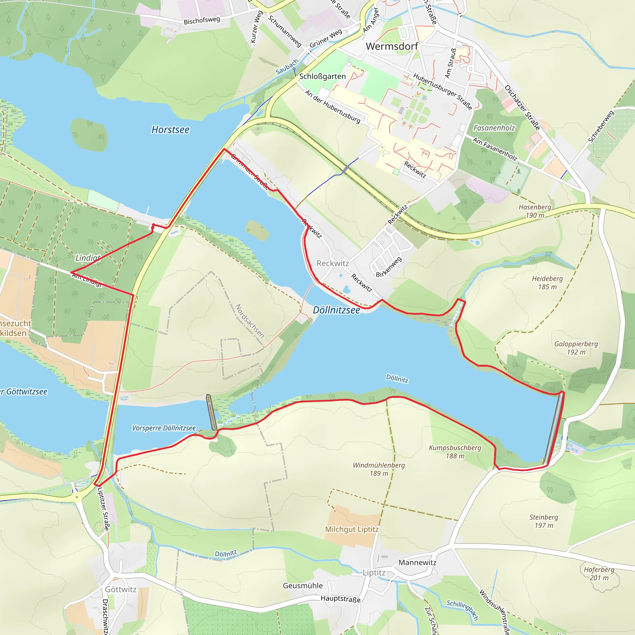
Starting near Nordsachsen, Germany, the Rundwanderung Döllnitzsee is an 8 km (approximately 5 miles) loop trail with no significant elevation gain, making it accessible for a wide range of hikers. The trailhead is conveniently located near the Döllnitzsee lake, which is a serene spot to begin your journey.### Getting There To reach the trailhead, you can either drive or use public transport. If driving, set your GPS to Döllnitzsee, Nordsachsen, Germany. For those using public transport, the nearest significant landmark is the Oschatz train station. From there, you can take a local bus or taxi to the lake, which is about 10 km (6 miles) away.### Trail Overview The Rundwanderung Döllnitzsee trail is a medium-difficulty hike, primarily due to its length rather than any challenging terrain. The path is well-marked and maintained, making navigation straightforward. For additional navigation support, consider using the HiiKER app, which provides detailed maps and real-time updates.### Points of Interest As you embark on this loop, you'll be treated to a variety of landscapes, including lush forests, open meadows, and the picturesque Döllnitzsee lake. The lake itself is a highlight, offering opportunities for bird watching and photography. Keep an eye out for local wildlife such as deer, foxes, and a variety of bird species.### Historical Significance The region around Nordsachsen has a rich history dating back to medieval times. While the trail itself is primarily a nature walk, the surrounding area is dotted with historical landmarks. For instance, the nearby town of Oschatz has several historical buildings and churches that date back to the 12th century. If you have time, a visit to the Oschatz town center can provide a deeper understanding of the local history.### Trail Specifics - 0-2 km (0-1.2 miles): The initial part of the trail takes you through a dense forest area. The path is relatively flat and easy to navigate. - 2-4 km (1.2-2.5 miles): As you approach the halfway mark, the trail opens up into meadows. This section is perfect for a picnic or a short rest. - 4-6 km (2.5-3.7 miles): The trail then loops around the Döllnitzsee lake. This is the most scenic part of the hike, offering stunning views of the water and surrounding landscape. - 6-8 km (3.7-5 miles): The final stretch takes you back through a mixed forest before returning to the trailhead.### Preparation Tips Given the moderate length of the trail, it's advisable to bring water, snacks, and a basic first-aid kit. Wear comfortable hiking shoes, as the terrain can be uneven in some sections. The trail is suitable for hiking year-round, but spring and autumn offer the most pleasant weather conditions.### Wildlife and Flora The area around Döllnitzsee is rich in biodiversity. In the spring and summer, you'll find a variety of wildflowers in bloom. The lake is home to several species of fish and attracts numerous bird species, making it a great spot for birdwatching.This trail offers a balanced mix of natural beauty and historical context, making it a rewarding experience for both novice and experienced hikers.
Comments and Reviews
User comments, reviews and discussions about the Rundwanderung Döllnitzsee, Germany.
4.0
average rating out of 5
1 rating(s)
