Download
Preview
Add to list
More
8.5 km
~2 hrs 3 min
210 m
Loop
“The Rundwanderweg Rengsdorf is a scenic 9 km loop trail in Germany, rich in nature and history.”
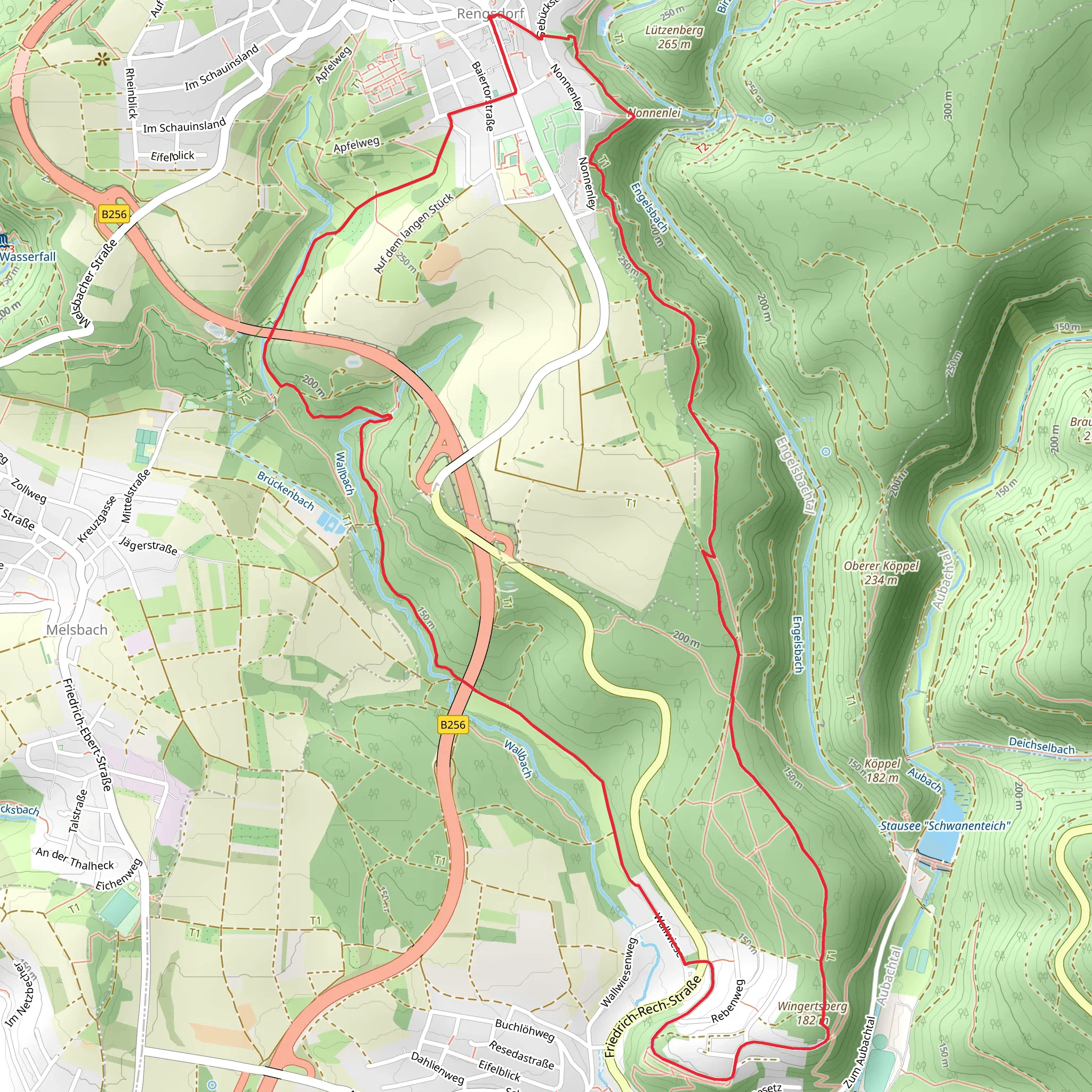
Starting near Neuwied, Germany, the Rundwanderweg Rengsdorf is a picturesque loop trail that spans approximately 9 kilometers (5.6 miles) with an elevation gain of around 200 meters (656 feet). This medium-difficulty trail offers a delightful mix of natural beauty, historical landmarks, and opportunities for wildlife spotting.
Getting There To reach the trailhead, you can either drive or use public transport. If driving, set your GPS to Rengsdorf, a small town near Neuwied. There are several parking options available in the town. For those using public transport, take a train to Neuwied and then a bus to Rengsdorf. The bus stop is conveniently located near the trailhead, making it easy to start your hike.
Trail Navigation For navigation, it's highly recommended to use the HiiKER app, which provides detailed maps and real-time updates to ensure you stay on track.
Trail Highlights
#### Nature and Wildlife The trail meanders through lush forests, open meadows, and along serene streams. Keep an eye out for local wildlife such as deer, foxes, and a variety of bird species. The diverse flora includes oak, beech, and pine trees, as well as seasonal wildflowers that add a splash of color to the landscape.
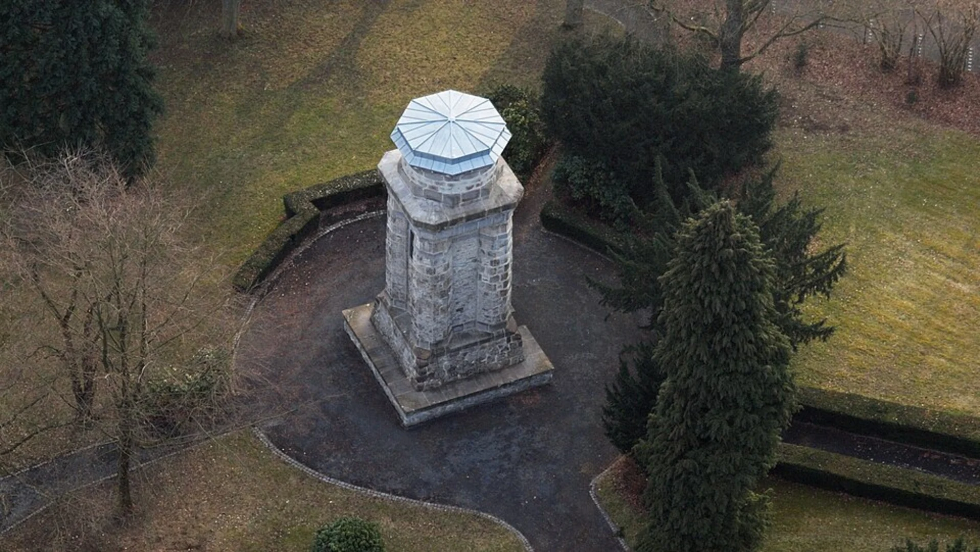
#### Historical Significance One of the most notable landmarks along the trail is the Roman Limes, an ancient boundary wall that once marked the edge of the Roman Empire. This historical site offers a glimpse into the region's rich past and is a great spot for a short break and some photos.
Key Sections
#### Initial Ascent Starting from Rengsdorf, the trail begins with a gentle ascent through a dense forest. This section is about 2 kilometers (1.2 miles) long and gains approximately 100 meters (328 feet) in elevation. The well-marked path ensures a smooth start to your hike.
#### Mid-Trail Meadows Around the 4-kilometer (2.5-mile) mark, the trail opens up into expansive meadows. This is a great place to take a break, enjoy a picnic, and soak in the panoramic views of the surrounding countryside. The elevation gain here is minimal, making it a relatively easy stretch.
#### Stream Crossings As you approach the 6-kilometer (3.7-mile) point, you'll encounter several small streams. Wooden bridges and stepping stones make these crossings easy, but it's advisable to wear waterproof boots, especially after rain.
#### Final Descent The last 3 kilometers (1.9 miles) of the trail involve a gradual descent back into Rengsdorf. This section is shaded and offers a cool, refreshing end to your hike. The path is well-maintained, ensuring a comfortable finish.
Practical Tips - **Footwear:** Sturdy hiking boots are recommended due to the varied terrain. - **Weather:** Check the weather forecast before you go, as conditions can change rapidly. - **Supplies:** Bring enough water and snacks, as there are limited facilities along the trail. - **Safety:** Always inform someone of your hiking plans and estimated return time.
The Rundwanderweg Rengsdorf offers a perfect blend of natural beauty, historical intrigue, and moderate physical challenge, making it an ideal choice for hikers looking to explore the scenic landscapes of Germany.
Comments and Reviews
User comments, reviews and discussions about the Rundwanderweg Rengsdorf, Germany.
average rating out of 5
0 rating(s)

