Download
Preview
Add to list
More
12.9 km
~2 hrs 50 min
160 m
Loop
“The Sugenheim Rundweg SU3 offers scenic beauty, historical landmarks, and a serene 13 km hiking experience.”
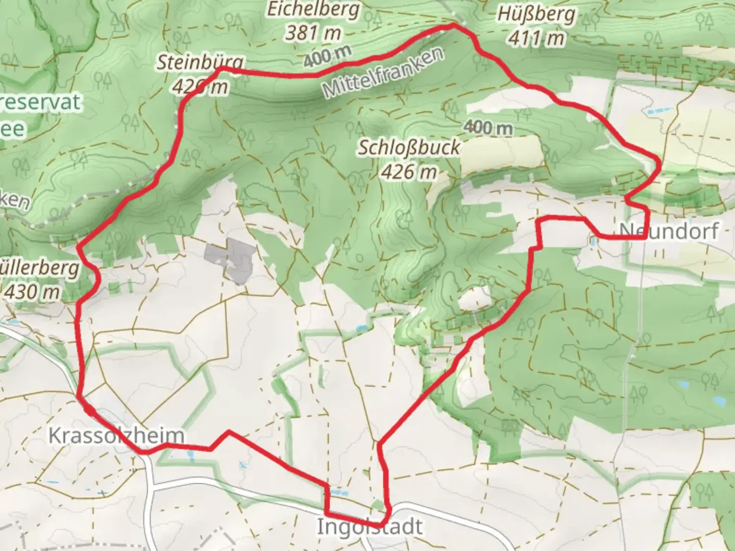
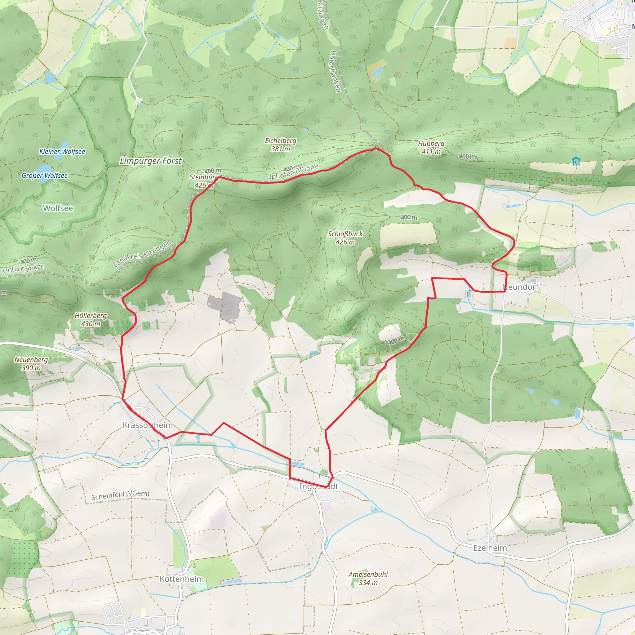
Starting near Neustadt an der Aisch-Bad Windsheim, Germany, the Sugenheim Rundweg SU3 is a delightful 13 km (8 miles) loop trail with an elevation gain of approximately 100 meters (328 feet). This medium-difficulty trail offers a blend of natural beauty, historical landmarks, and a serene hiking experience.### Getting There To reach the trailhead, you can drive or use public transport. If driving, head towards Neustadt an der Aisch-Bad Windsheim and follow local signage to Sugenheim. For those using public transport, take a train to Neustadt an der Aisch-Bad Windsheim station. From there, local buses or a short taxi ride will get you to the trailhead.### Trail Navigation Using HiiKER for navigation is highly recommended to ensure you stay on track and make the most of your hike. The trail is well-marked, but having a reliable navigation tool can enhance your experience.### Trail Highlights#### Nature and Wildlife The Sugenheim Rundweg SU3 takes you through a variety of landscapes, including dense forests, open meadows, and gentle hills. The trail is particularly beautiful in spring and autumn when the foliage is vibrant. Keep an eye out for local wildlife such as deer, foxes, and a variety of bird species. The diverse flora includes wildflowers, oak, and beech trees, making it a botanist's delight.#### Historical Significance As you hike, you'll encounter several points of historical interest. One notable landmark is the Sugenheim Castle, located approximately 5 km (3 miles) into the trail. This medieval castle, with its well-preserved architecture, offers a glimpse into the region's rich history. Another significant site is the old mill near the halfway point, which has been restored and now serves as a small museum showcasing traditional milling techniques.### Trail Sections#### Initial Ascent The trail begins with a gentle ascent through a mixed forest. This section is about 3 km (1.8 miles) long and gains around 50 meters (164 feet) in elevation. The path is well-trodden and shaded, making it a pleasant start to your hike.#### Midway Meadows After the initial ascent, the trail opens up into expansive meadows. This section is relatively flat and stretches for about 4 km (2.5 miles). It's an excellent spot for a picnic or a short rest. The meadows are often dotted with wildflowers and offer panoramic views of the surrounding countryside.#### Final Descent The last section of the trail involves a gentle descent back into the forest, leading you back to the starting point. This 6 km (3.7 miles) stretch is a mix of forest paths and small country roads. The descent is gradual, making it a comfortable end to your hike.### Practical Tips - Footwear: Sturdy hiking boots are recommended due to the mixed terrain. - Weather: Check the weather forecast before you go, as the trail can become slippery after rain. - Supplies: Bring enough water and snacks, as there are limited facilities along the trail. - Local Etiquette: Respect local wildlife and follow the Leave No Trace principles to keep the trail pristine for future hikers.The Sugenheim Rundweg SU3 offers a balanced mix of natural beauty, historical intrigue, and a moderate challenge, making it a rewarding hike for those looking to explore the German countryside.
Comments and Reviews
User comments, reviews and discussions about the Sugenheim Rundweg SU3, Germany.
4.5
average rating out of 5
2 rating(s)
