Download
Preview
Add to list
More
10.0 km
~2 hrs 17 min
167 m
Point-to-Point
“Embark on a scenic 10 km trail through Franconian countryside, rich in history and natural beauty.”
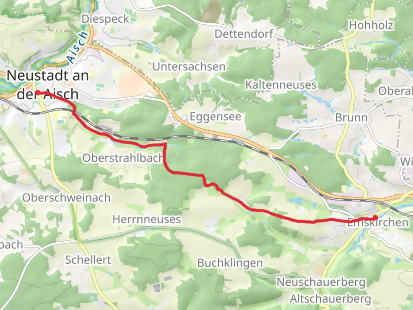
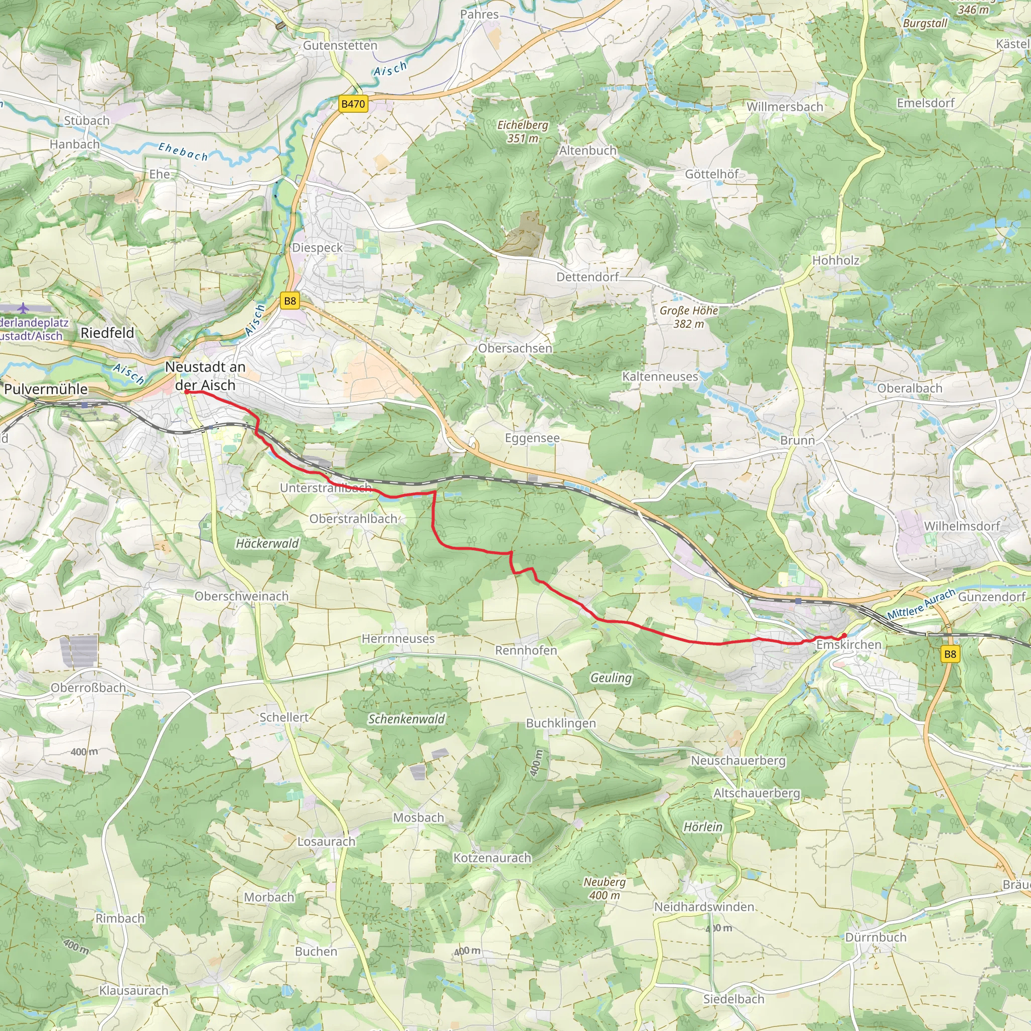
Starting near Neustadt an der Aisch-Bad Windsheim in Germany, this 10 km (approximately 6.2 miles) point-to-point trail offers a delightful journey through the Franconian countryside, with an elevation gain of around 100 meters (328 feet). The trail is rated as medium difficulty, making it suitable for moderately experienced hikers.### Getting There To reach the trailhead, you can take a train to Neustadt an der Aisch-Bad Windsheim station, which is well-connected to major cities like Nuremberg and Würzburg. From the station, it's a short walk to the starting point. If you're driving, there are parking facilities available near the station.### Trail Overview The trail begins in the charming town of Neustadt an der Aisch, known for its medieval architecture and historical significance. As you set off, you'll pass through picturesque streets lined with half-timbered houses, eventually leading you into the serene countryside.### Key Landmarks and Nature Around the 2 km (1.2 miles) mark, you'll encounter the first significant landmark: the Aisch River. This river is a haven for local wildlife, including various bird species and small mammals. Keep an eye out for kingfishers and herons along the riverbanks.Continuing on, the trail meanders through lush meadows and dense woodlands. At approximately 5 km (3.1 miles), you'll reach a small hill offering panoramic views of the surrounding landscape. This is an excellent spot for a short break and some photography.### Historical Significance The region is steeped in history, with several points of interest along the way. Around the 7 km (4.3 miles) mark, you'll come across the ruins of an old watchtower, a remnant from the medieval period when the area was a contested frontier. This site provides a fascinating glimpse into the past and is a great place to pause and reflect.### Final Stretch As you approach Emskirchen, the trail descends gently, leading you through more open fields and small patches of forest. The final 2 km (1.2 miles) are relatively flat, making for an easy finish to your hike. Emskirchen itself is a quaint village with a few local eateries where you can relax and enjoy a well-deserved meal.### Navigation and Safety For navigation, it's highly recommended to use the HiiKER app, which provides detailed maps and real-time updates. The trail is well-marked, but having a reliable navigation tool will ensure you stay on track.### Wildlife and Flora The trail is home to a variety of flora and fauna. Depending on the season, you might see wildflowers in bloom, deer grazing in the meadows, and a variety of bird species. Always respect the local wildlife and maintain a safe distance.### Practical Tips - Wear sturdy hiking boots, as some sections can be uneven. - Carry enough water and snacks, especially if you plan to take your time exploring the landmarks. - Check the weather forecast before you set out, as conditions can change rapidly.This trail offers a perfect blend of natural beauty, historical intrigue, and moderate physical challenge, making it a rewarding experience for any hiker.
What to expect?
Activity types
Comments and Reviews
User comments, reviews and discussions about the Neustadt Mitte to Emskirchen Walk, Germany.
4.5
average rating out of 5
2 rating(s)
