Download
Preview
Add to list
More
12.6 km
~2 hrs 54 min
229 m
Loop
“A scenic 13 km loop trail in Franconia blending lush nature, historical sites, and moderate challenges.”
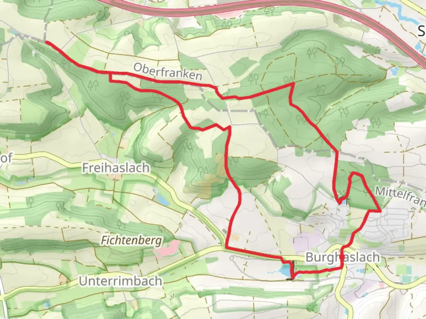
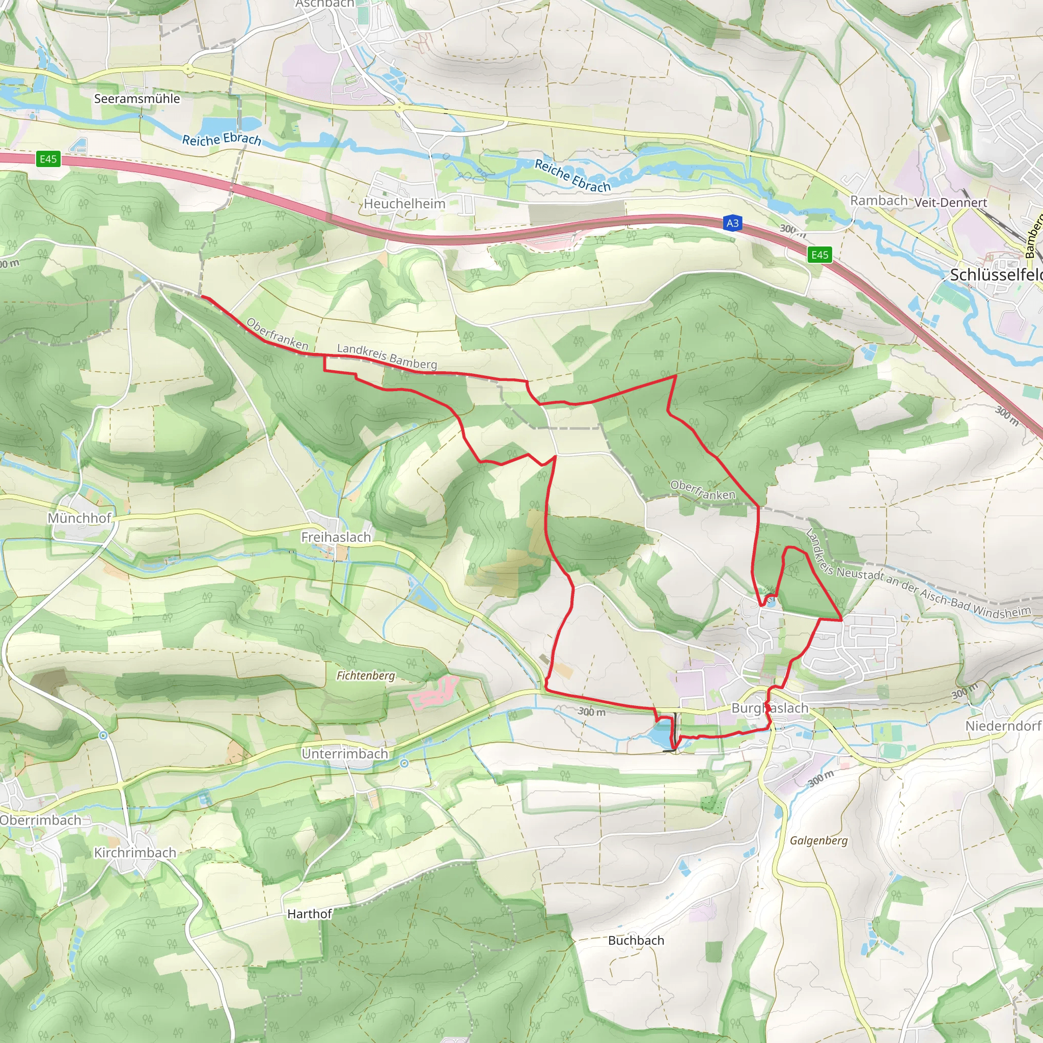
Starting near Neustadt an der Aisch-Bad Windsheim, Germany, the Fraenkischer Marienweg from Burghaslach is a picturesque loop trail stretching approximately 13 km (8 miles) with an elevation gain of around 200 meters (656 feet). This medium-difficulty trail offers a blend of natural beauty, historical landmarks, and cultural significance, making it a rewarding experience for hikers.### Getting There To reach the trailhead, you can either drive or use public transport. If driving, head towards Burghaslach, where parking is available near the starting point. For those using public transport, take a train to Neustadt an der Aisch-Bad Windsheim and then a local bus to Burghaslach. The nearest significant landmark to the trailhead is the Burghaslach Town Hall.### Trail Highlights#### Nature and Wildlife The trail meanders through the serene Franconian countryside, characterized by rolling hills, dense forests, and open meadows. Along the way, you'll encounter a variety of flora and fauna. In spring and summer, the meadows are adorned with wildflowers, while the forests provide a cool canopy of deciduous trees. Keep an eye out for local wildlife such as deer, foxes, and a variety of bird species, including woodpeckers and songbirds.#### Historical Landmarks One of the most significant landmarks on this trail is the Marienkapelle, a charming chapel dedicated to the Virgin Mary. This chapel is not only a spiritual site but also a testament to the region's rich history. Built in the medieval period, it offers a glimpse into the architectural styles and religious practices of the time.Another notable site is the ruins of an old castle, which can be found approximately halfway through the trail. These ruins provide a fascinating look into the region's feudal past and offer panoramic views of the surrounding landscape.### Trail Navigation The trail is well-marked with signs and waypoints, but it's always a good idea to have a reliable navigation tool. HiiKER is recommended for its detailed maps and real-time updates, ensuring you stay on the right path.### Elevation and Terrain The trail features a moderate elevation gain of around 200 meters (656 feet), with a mix of gentle ascents and descents. The terrain varies from well-maintained paths to more rugged sections, so sturdy hiking boots are advisable. The highest point of the trail offers stunning views of the Franconian landscape, making the climb well worth the effort.### Practical Information - Distance: 13 km (8 miles) - Elevation Gain: 200 meters (656 feet) - Difficulty: Medium - Trail Type: Loop### Tips for Hikers - Weather: Check the weather forecast before you set out, as conditions can change rapidly. - Water and Snacks: Carry enough water and snacks, as there are limited facilities along the trail. - Clothing: Dress in layers to accommodate changing weather conditions and wear sturdy hiking boots for uneven terrain. - Respect Nature: Follow the Leave No Trace principles to preserve the natural beauty of the area.This trail offers a perfect blend of natural beauty, historical intrigue, and moderate physical challenge, making it an ideal choice for a day hike in the Franconian region.
What to expect?
Activity types
Comments and Reviews
User comments, reviews and discussions about the Fraenkischer Marienweg from Burghaslach, Germany.
4.0
average rating out of 5
3 rating(s)
