Download
Preview
Add to list
More
9.3 km
~2 hrs 17 min
257 m
Loop
“Explore Bavarian beauty and history on the 9 km Rundweg Lauterhofen trail, ideal for moderate hikers.”
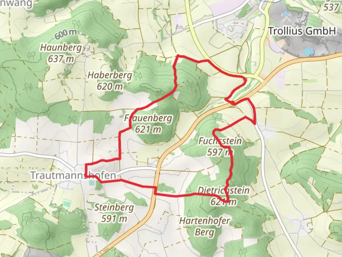
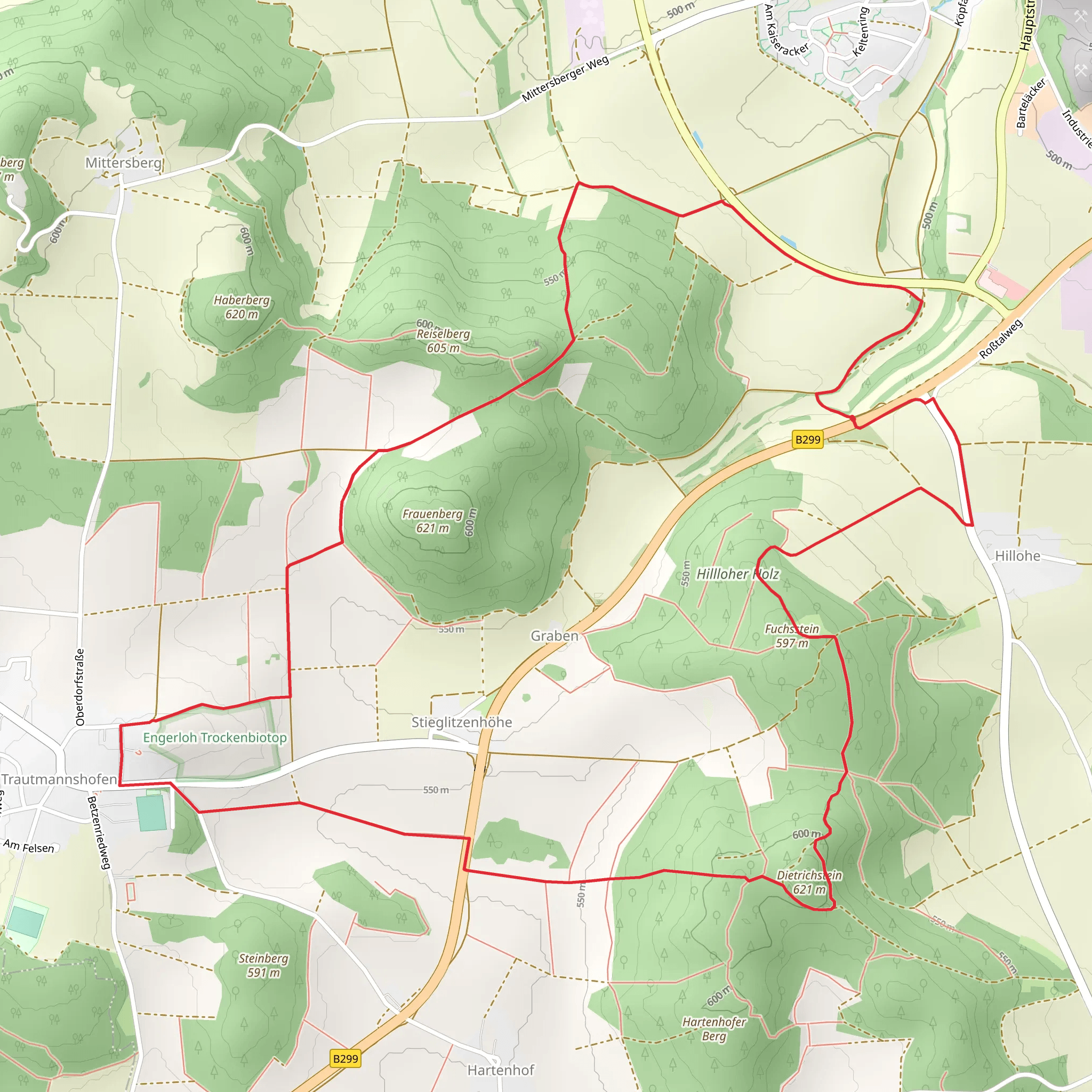
Starting near Neumarkt in der Oberpfalz, Germany, the Rundweg Lauterhofen LTH 5 and LTH 6 is a delightful loop trail that spans approximately 9 km (5.6 miles) with an elevation gain of around 200 meters (656 feet). This medium-difficulty trail offers a blend of natural beauty, historical landmarks, and a touch of local wildlife, making it a rewarding experience for hikers.### Getting There To reach the trailhead, you can either drive or use public transport. If driving, set your GPS to Lauterhofen, a small town near Neumarkt in der Oberpfalz. There are parking facilities available near the trailhead. For those using public transport, take a train to Neumarkt in der Oberpfalz and then a local bus to Lauterhofen. The nearest significant landmark to the trailhead is the Lauterhofen Town Hall.### Trail Overview The trail begins in the charming town of Lauterhofen, where you can find basic amenities and a few local eateries. As you start your hike, you'll quickly find yourself immersed in the serene Bavarian countryside. The trail is well-marked, but it's always a good idea to have a navigation tool like HiiKER for added assurance.### Natural Beauty and Wildlife The first few kilometers of the trail take you through lush meadows and dense forests. Keep an eye out for local wildlife such as deer, foxes, and a variety of bird species. The flora is equally captivating, with wildflowers dotting the landscape, especially in the spring and summer months.### Historical Landmarks Around the 3 km (1.9 miles) mark, you'll come across the ruins of an old medieval castle. This site offers a glimpse into the region's rich history and provides a perfect spot for a short break. The castle ruins are perched on a small hill, adding a bit of elevation gain to your hike but rewarding you with panoramic views of the surrounding area.### Midway Point At approximately 4.5 km (2.8 miles), you'll reach the highest point of the trail, offering stunning vistas of the Bavarian countryside. This is an excellent spot to pause and take in the scenery. The elevation gain here is about 100 meters (328 feet) from the starting point, making it a moderate climb.### Descending Back The descent begins gradually, taking you through more forested areas and open fields. Around the 7 km (4.3 miles) mark, you'll pass by a small, picturesque lake. This is another great spot to rest and perhaps enjoy a picnic. The trail then loops back towards Lauterhofen, with the final stretch being relatively flat and easy.### Final Stretch As you approach the end of the trail, you'll re-enter Lauterhofen, where you can explore the town's quaint streets and perhaps visit a local café for a well-deserved treat. The entire loop brings you back to your starting point, completing a fulfilling 9 km (5.6 miles) journey.### Tips for Hikers - Wear sturdy hiking boots as some sections can be uneven. - Carry enough water and snacks, especially if you plan to take breaks at the scenic spots. - Check the weather forecast before heading out, as the trail can be slippery after rain. - Use HiiKER for navigation to ensure you stay on the right path.This trail offers a perfect blend of natural beauty, historical intrigue, and moderate physical challenge, making it an excellent choice for a day hike in the Bavarian region.
Comments and Reviews
User comments, reviews and discussions about the Rundweg Lauterhofen LTH 5 and LTH 6, Germany.
4.67
average rating out of 5
3 rating(s)
