Download
Preview
Add to list
More
10.5 km
~2 hrs 16 min
105 m
Loop
“Explore the scenic 11 km loop trail near Neuburg-Schrobenhausen, blending natural beauty with historical landmarks.”
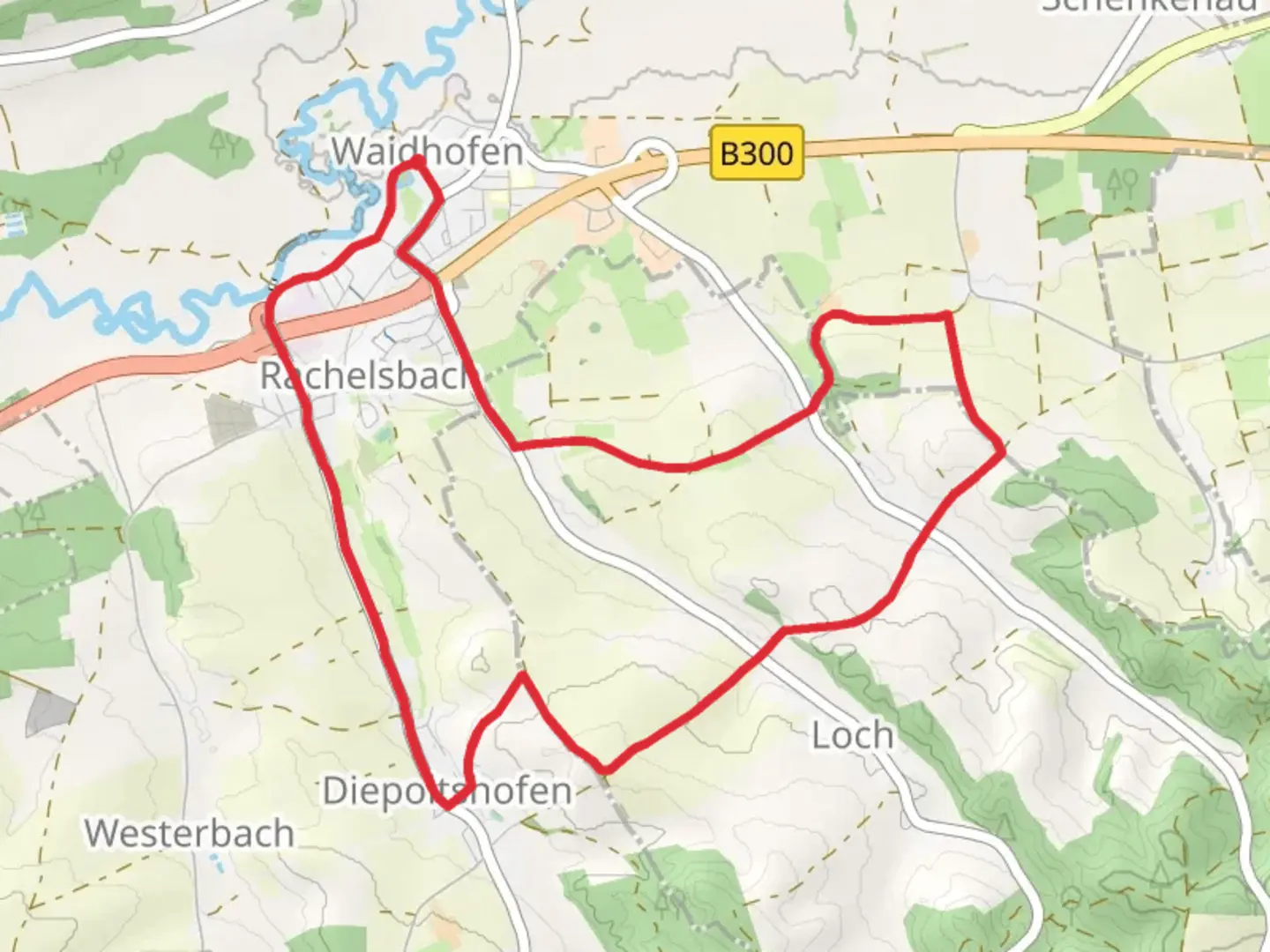
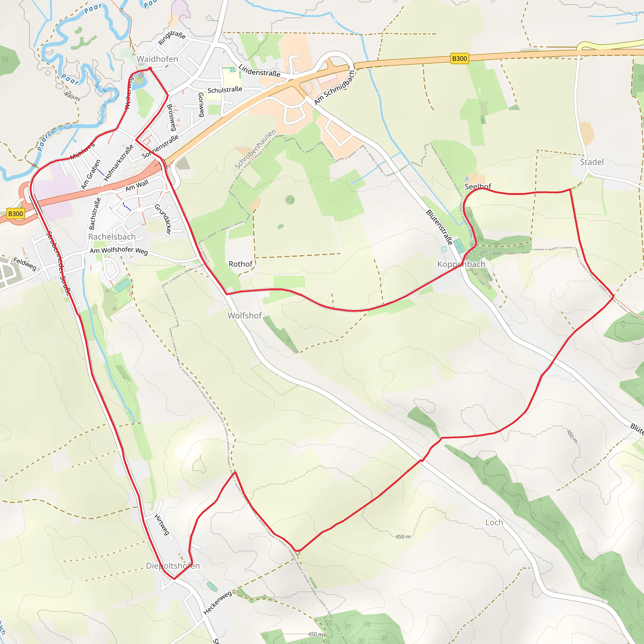
Starting near the picturesque town of Neuburg-Schrobenhausen in Germany, this 11 km (approximately 6.8 miles) loop trail offers a delightful mix of natural beauty and historical intrigue. With an elevation gain of around 100 meters (328 feet), the trail is rated as medium difficulty, making it accessible for most hikers with a moderate level of fitness.
Getting There
To reach the trailhead, you can either drive or use public transport. If you're driving, set your GPS to Neuburg-Schrobenhausen, and look for parking near the town center. For those using public transport, take a train to Neuburg an der Donau station, which is well-connected to major cities like Munich and Ingolstadt. From the station, it's a short bus ride to the trailhead.
Trail Navigation
For navigation, the HiiKER app is highly recommended. It provides detailed maps and real-time updates, ensuring you stay on the right path throughout your hike.
Trail Highlights
#### Historical Significance
The region around Neuburg-Schrobenhausen is steeped in history. As you embark on the trail, you'll pass by several landmarks that offer a glimpse into the area's rich past. One of the most notable is the Neuburg Castle, a Renaissance fortress that dates back to the 16th century. The castle is located approximately 2 km (1.2 miles) from the trailhead and is worth a short detour for history enthusiasts.
#### Natural Beauty
The trail meanders through a variety of landscapes, from dense forests to open meadows. Around the 4 km (2.5 miles) mark, you'll find yourself in a serene woodland area, where the canopy of trees provides a cool respite from the sun. Keep an eye out for local wildlife, including deer and various bird species. The forest floor is often carpeted with wildflowers in the spring, adding a splash of color to your hike.
#### Scenic Views
As you reach the halfway point, the trail ascends gently, offering panoramic views of the surrounding countryside. This section, around 5.5 km (3.4 miles) in, is perfect for a short break to take in the scenery. The elevation gain here is gradual, making it a manageable climb for most hikers.
Practical Information
#### Facilities
There are several rest areas along the trail, equipped with benches and picnic tables. These are ideal spots to take a break and enjoy a packed lunch. However, there are no water fountains along the trail, so make sure to bring enough water to stay hydrated.
#### Weather Considerations
The trail is open year-round, but the best times to hike are in the spring and autumn when the weather is mild. Summer can be quite warm, so it's advisable to start early in the day to avoid the midday heat. In winter, the trail can be icy and slippery, so proper footwear and caution are necessary.
#### Wildlife and Flora
The trail is home to a diverse range of flora and fauna. In addition to deer, you might spot foxes and various bird species, including woodpeckers and owls. The flora varies with the seasons, from spring wildflowers to autumn foliage, making each hike a unique experience.
Final Stretch
As you near the end of the loop, the trail descends gently back towards Neuburg-Schrobenhausen. This final section, around 9 km (5.6 miles) in, takes you through open fields and past small farms, offering a peaceful conclusion to your hike. The last 2 km (1.2 miles) are relatively flat, making for an easy finish.
By the time you return to the trailhead, you'll have experienced a rich tapestry of natural beauty and historical landmarks, all within a manageable 11 km loop.
Comments and Reviews
User comments, reviews and discussions about the Marienweg, Germany.
average rating out of 5
0 rating(s)
