Download
Preview
Add to list
More
7.3 km
~1 hrs 47 min
202 m
Loop
“Embark on the scenic Katzensteig trail for a 7 km journey through Odenwald's natural and historical splendor.”
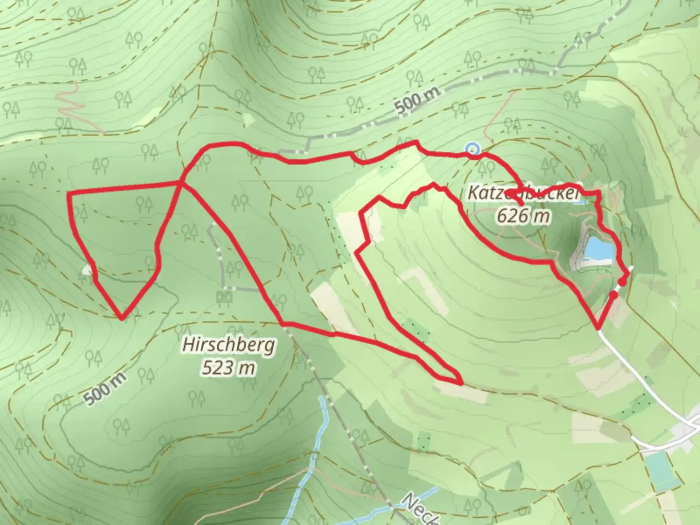
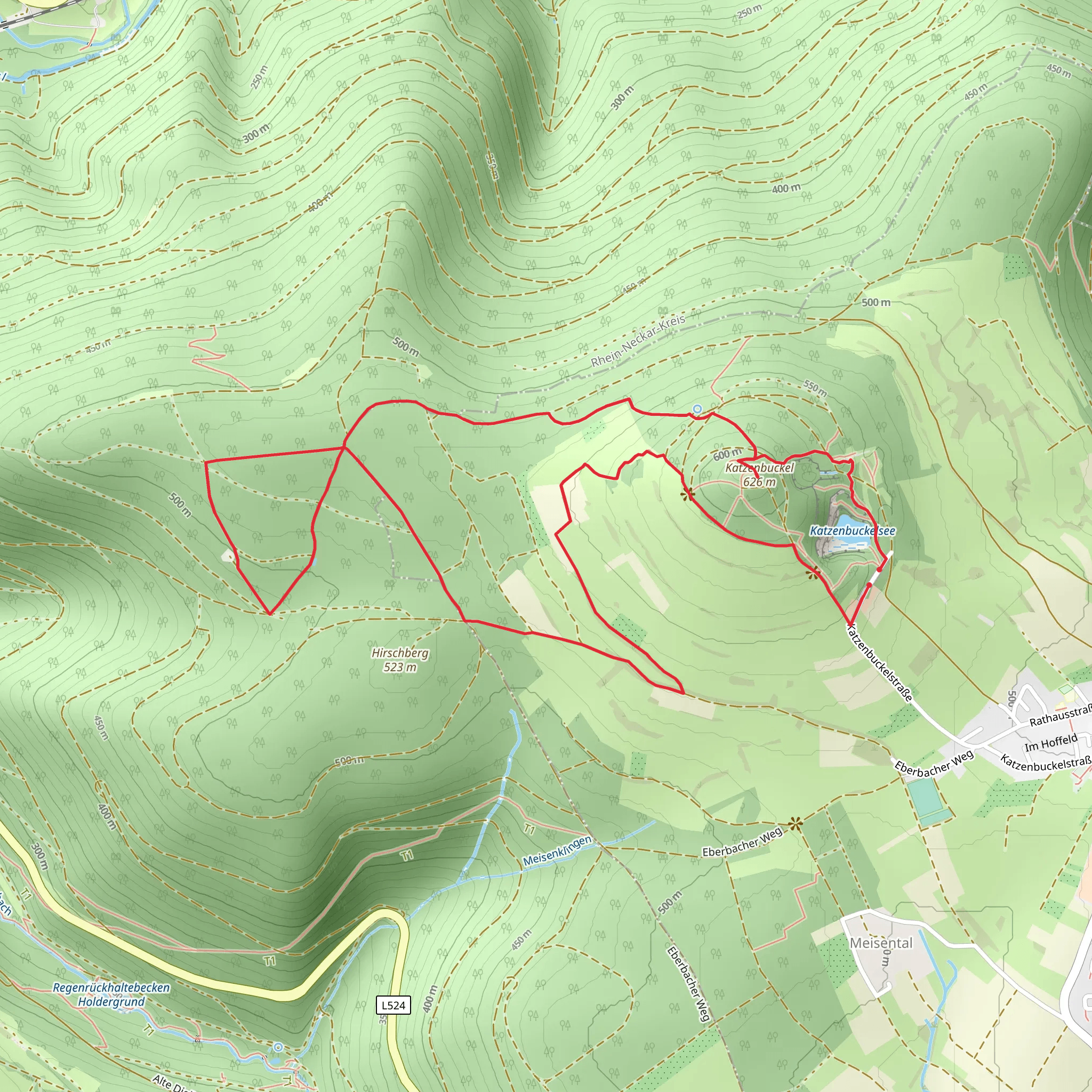
Starting your adventure near Neckar-Odenwald-Kreis, Germany, the Katzenbuckelsee and Katzenbuckel via Katzensteig trail offers a delightful 7 km (4.3 miles) loop with an elevation gain of around 200 meters (656 feet). This medium-difficulty trail is perfect for those looking to immerse themselves in the natural beauty and historical richness of the Odenwald region.
Getting There To reach the trailhead, you can either drive or use public transport. If driving, set your GPS to the nearest known address: Am Katzenbuckel 1, 69429 Waldbrunn, Germany. For those using public transport, take a train to Eberbach station and then a bus to Waldbrunn, where the trailhead is a short walk away.
Trail Highlights #### Katzenbuckelsee Starting off, you'll encounter the serene Katzenbuckelsee, a small lake that offers a peaceful setting to begin your hike. The lake is surrounded by lush greenery and is a great spot for a quick rest or a picnic.
#### Katzenbuckel As you continue, you'll ascend towards Katzenbuckel, the highest peak in the Odenwald at 626 meters (2,054 feet). The climb is gradual but steady, offering panoramic views of the surrounding landscape. The peak is marked by a distinctive observation tower, which provides an excellent vantage point for photography and bird-watching.
Flora and Fauna The trail is rich in biodiversity. You'll walk through dense forests of beech and oak, interspersed with patches of wildflowers. Keep an eye out for local wildlife such as deer, foxes, and a variety of bird species. The area is particularly known for its vibrant butterfly population during the warmer months.
Historical Significance The region around Katzenbuckel has a fascinating history. The observation tower at the peak was built in the early 20th century and has since become a symbol of the area. Additionally, the trail passes by several ancient stone markers and remnants of old settlements, offering a glimpse into the lives of those who inhabited the region centuries ago.
Navigation For navigation, it's highly recommended to use the HiiKER app, which provides detailed maps and real-time updates to ensure you stay on track. The trail is well-marked, but having a reliable navigation tool can enhance your hiking experience.
Practical Tips - **Footwear:** Sturdy hiking boots are recommended due to the uneven terrain. - **Weather:** Check the weather forecast before you go, as conditions can change rapidly. - **Water and Snacks:** Bring enough water and snacks, especially if you plan to spend time at the observation tower or the lake. - **Safety:** Always let someone know your hiking plans and estimated return time.
This trail offers a perfect blend of natural beauty, historical intrigue, and moderate physical challenge, making it a rewarding experience for hikers of all levels.
Comments and Reviews
User comments, reviews and discussions about the Katzenbuckelsee and Katzenbuckel via Katzensteig, Germany.
4.0
average rating out of 5
1 rating(s)
