Download
Preview
Add to list
More
6.9 km
~1 hrs 28 min
59 m
Loop
“This 7 km loop trail near Munich blends stunning nature, historical sites, and moderate hiking challenges.”
Starting near Munich, Germany, this 7 km (approximately 4.35 miles) loop trail offers a delightful mix of natural beauty and historical significance. With no significant elevation gain, it is accessible to a wide range of hikers, though it is rated as medium difficulty due to its length and some uneven terrain.
Getting There To reach the trailhead, you can take public transport from Munich. The nearest significant landmark is the Maria-Einsiedel-Bad, a popular local swimming pool. From Munich's central station, take the U3 subway line towards Fürstenried West and get off at Thalkirchen (Tierpark). From there, it's a short walk to the trailhead near Maria-Einsiedel-Bad. If you're driving, there is parking available near the swimming pool.
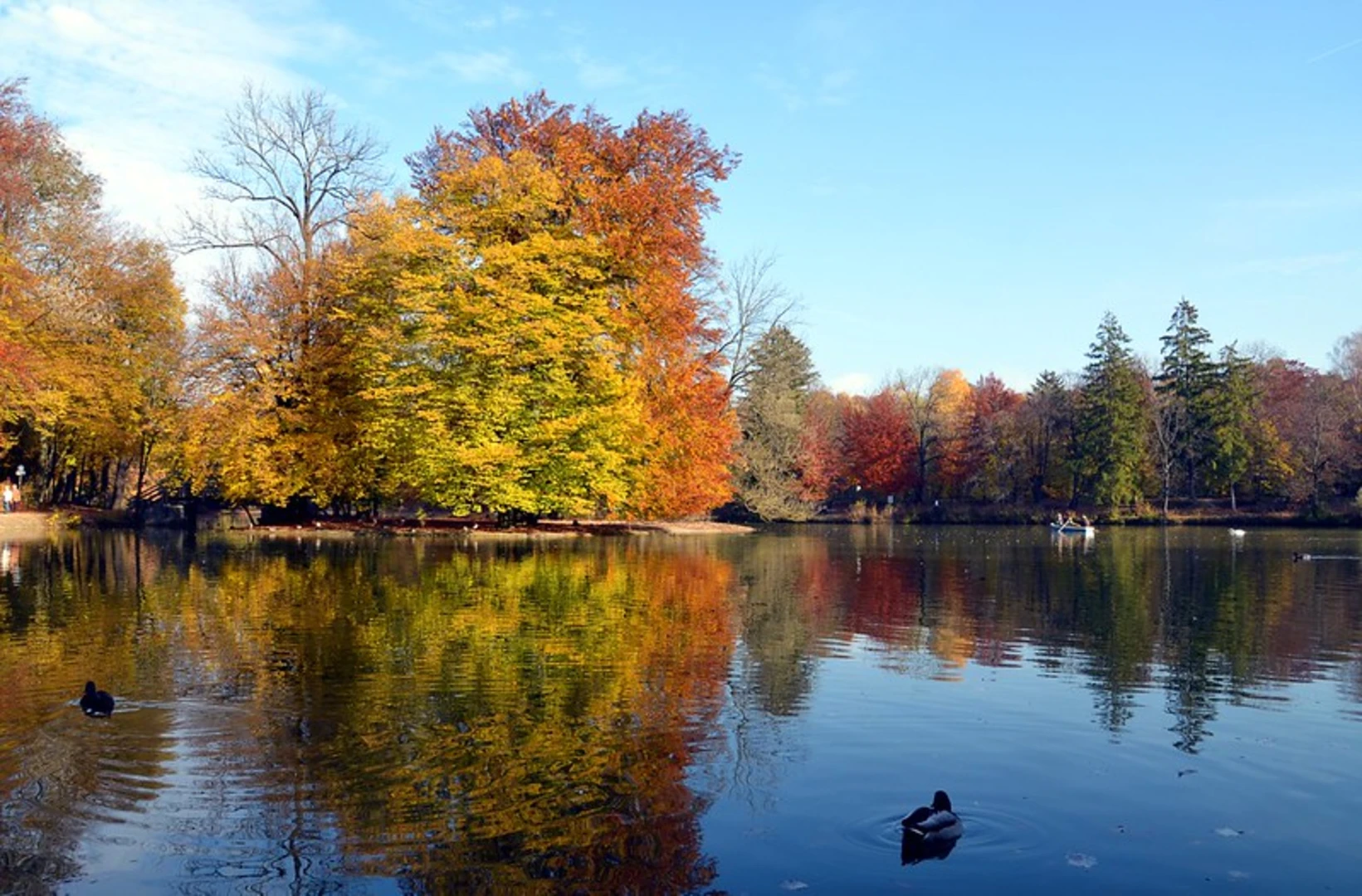
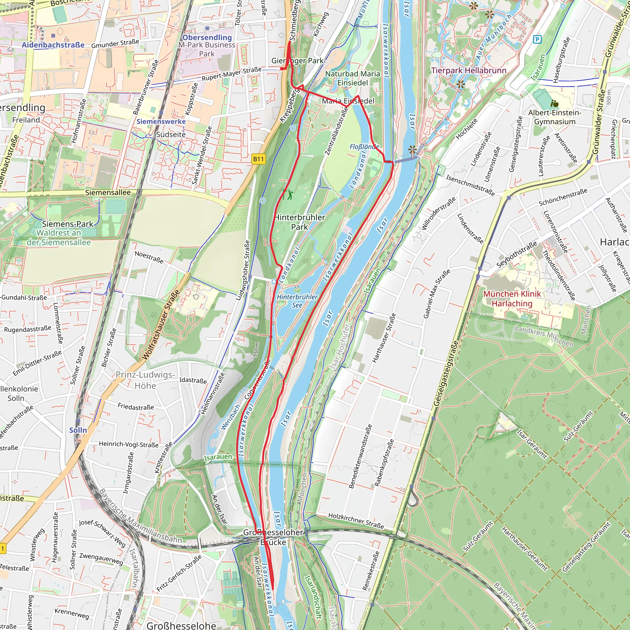
Trail Overview The trail begins near the Isarwerkkanal, a man-made canal that runs parallel to the Isar River. This area is rich in both natural and historical significance. The canal itself was constructed in the early 20th century to manage water flow and provide hydroelectric power to the region. As you start your hike, you'll be walking along the canal, which offers serene water views and the occasional sighting of local waterfowl.
Key Sections and Landmarks
#### Maria-Einsiedel-Berg About 2 km (1.24 miles) into the hike, you'll reach Maria-Einsiedel-Berg. This small hill offers a slight elevation change and provides a panoramic view of the surrounding area. The hill is named after the nearby Maria-Einsiedel Chapel, a quaint and historic chapel that dates back to the 18th century. It's a great spot to take a short break and enjoy the scenery.
#### Hinterbrühler Weg Continuing along the trail, you'll transition onto Hinterbrühler Weg. This section is particularly scenic, as it meanders through lush forests and open meadows. The path is well-marked but can be narrow and uneven in places, so sturdy footwear is recommended. Keep an eye out for local wildlife, including deer and various bird species.
Historical Significance The region around the Isarwerkkanal has a rich history. The canal itself is a testament to early 20th-century engineering, designed to harness the power of the Isar River. Additionally, the area was historically used for agriculture and small-scale farming, remnants of which can still be seen in the form of old farmhouses and barns along the trail.
Navigation For navigation, it's highly recommended to use HiiKER, which provides detailed maps and real-time updates. The trail is generally well-marked, but having a reliable navigation tool can help you stay on track, especially in the more wooded sections.
Flora and Fauna The trail offers a diverse range of flora and fauna. In the spring and summer months, you'll find wildflowers in full bloom, adding a splash of color to the landscape. The forested areas are home to a variety of trees, including oak, beech, and pine. Wildlife is abundant, with frequent sightings of deer, rabbits, and a variety of bird species.
Final Stretch As you loop back towards the starting point, you'll once again follow the Isarwerkkanal. This final stretch is relatively flat and easy, allowing you to relax and enjoy the tranquil water views. The loop brings you back to the vicinity of Maria-Einsiedel-Bad, where you can take a refreshing dip in the swimming pool if you wish.
This 7 km loop trail near Munich offers a perfect blend of natural beauty, historical landmarks, and a moderate challenge, making it an excellent choice for a day hike.
What to expect?
Activity types
Comments and Reviews
User comments, reviews and discussions about the Isarwerkkanal via Maria-Einsiedel-Berg and Hinterbrühler Weg, Germany.
4.67
average rating out of 5
3 rating(s)

