Download
Preview
Add to list
More
11.8 km
~3 hrs 21 min
600 m
Point-to-Point
“Embark on the Schliersee to Tegernsee Walk for a scenic, historical, and moderately challenging Bavarian adventure.”
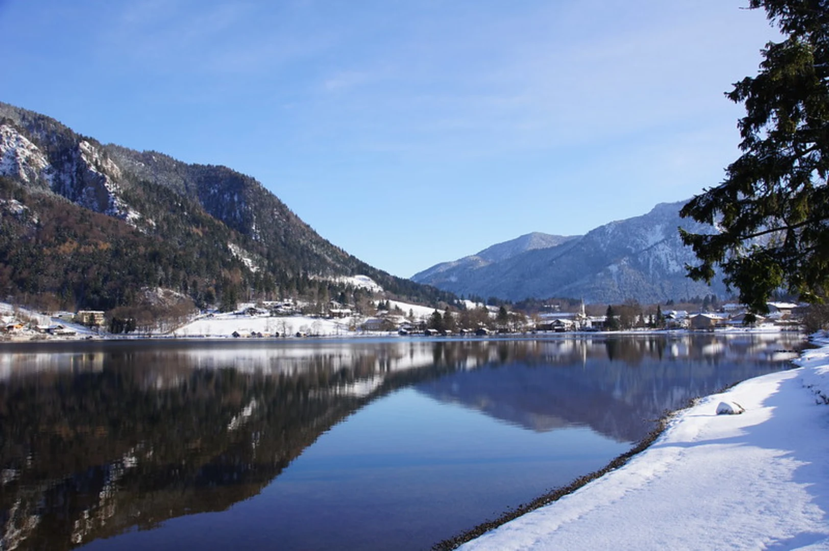
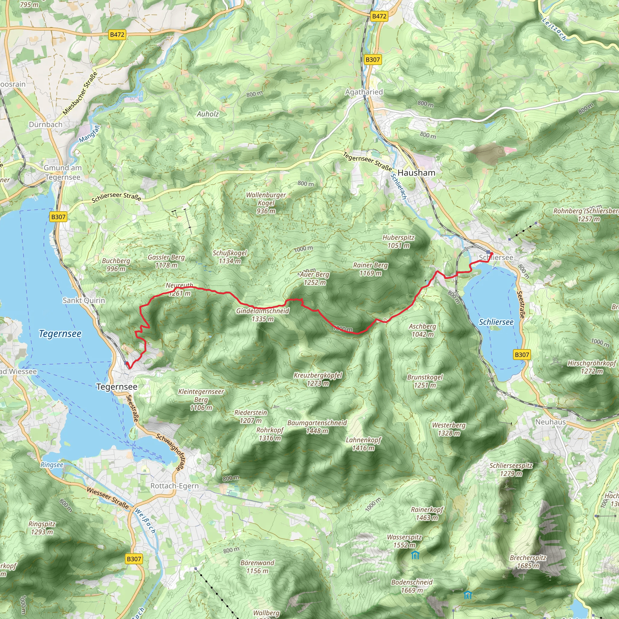
Starting near the charming town of Miesbach in Germany, the Schliersee to Tegernsee Walk is a delightful 12 km (7.5 miles) point-to-point trail that offers a moderate challenge with an elevation gain of approximately 600 meters (1,970 feet). This trail is perfect for those looking to experience the beauty of the Bavarian Alps, with its lush forests, serene lakes, and picturesque villages.
Getting There To reach the trailhead, you can either drive or use public transport. If you're driving, head towards Miesbach, which is well-connected by road. For those using public transport, take a train to Miesbach station. From there, local buses or a short taxi ride will get you to the starting point of the trail.
Trail Overview The trail begins near Miesbach and quickly immerses you in the natural beauty of the region. As you start your hike, you'll pass through dense forests filled with a variety of flora and fauna. Keep an eye out for deer and various bird species that inhabit this area. The initial part of the trail is relatively gentle, allowing you to ease into the hike.
Key Landmarks and Elevation At around the 3 km (1.9 miles) mark, you'll reach the first significant elevation gain. The trail starts to ascend more steeply, offering breathtaking views of the surrounding landscape. As you climb, you'll come across several viewpoints where you can take a break and soak in the scenery. One notable viewpoint is at approximately 5 km (3.1 miles), where you can see the entire Schliersee lake below, a perfect spot for some memorable photos.
Historical Significance This region is steeped in history. The trail itself has been used for centuries by locals traveling between the two lakes. Along the way, you might notice remnants of old stone paths and markers that date back to medieval times. These historical elements add a unique charm to your hike, making it not just a physical journey but a walk through history.
Reaching Tegernsee As you continue, the trail begins to descend towards Tegernsee. The descent is gradual, allowing you to enjoy the changing landscape as you approach the lake. At around the 9 km (5.6 miles) mark, you'll start to see glimpses of Tegernsee through the trees. The final stretch of the trail takes you through more open terrain, with the lake becoming more prominent as you get closer.
Wildlife and Nature The area between Schliersee and Tegernsee is rich in biodiversity. In addition to deer and birds, you might also spot foxes and various small mammals. The flora is equally impressive, with a mix of deciduous and coniferous trees, wildflowers, and alpine plants. The changing seasons bring different colors and scents, making each hike a unique experience.
Navigation For navigation, it's highly recommended to use HiiKER, which provides detailed maps and real-time updates to ensure you stay on the right path. The trail is well-marked, but having a reliable navigation tool can enhance your hiking experience.
Final Stretch As you approach Tegernsee, the trail flattens out, making for a pleasant end to your hike. Tegernsee itself is a beautiful town with plenty of options for dining and relaxation. You can take a leisurely stroll along the lake, visit the historic Tegernsee Abbey, or simply enjoy a well-deserved meal at one of the local restaurants.
This hike from Schliersee to Tegernsee offers a perfect blend of natural beauty, historical significance, and moderate physical challenge, making it a must-do for any hiking enthusiast visiting Bavaria.
What to expect?
Activity types
Comments and Reviews
User comments, reviews and discussions about the Schliersee to Tegernsee Walk, Germany.
4.75
average rating out of 5
8 rating(s)

