Download
Preview
Add to list
More
14.0 km
~3 hrs 56 min
681 m
Loop
“Explore the Bavarian Alps on a captivating 14 km loop with scenic vistas, historical landmarks, and diverse wildlife.”
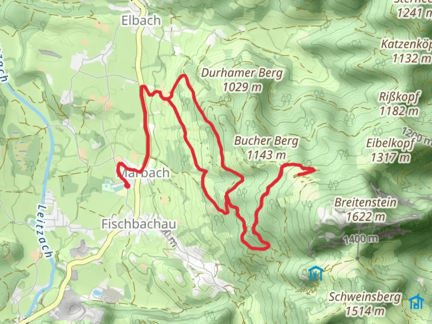
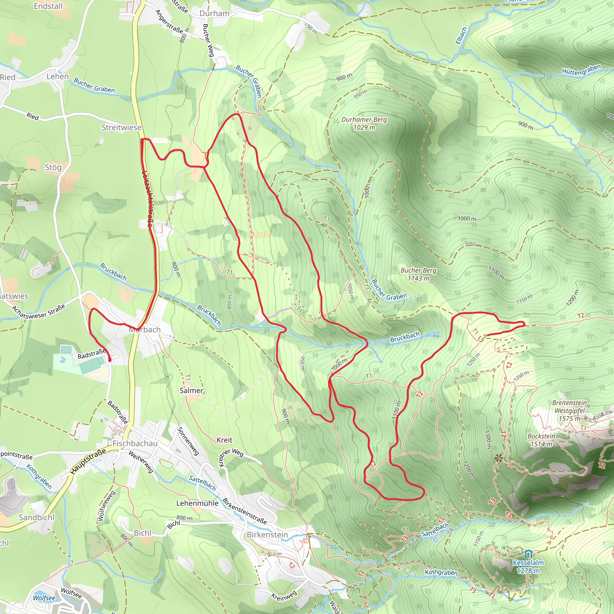
Starting near the charming town of Miesbach, Germany, the Buchberg, Birkenstein and Bucher Alm Loop is a captivating 14 km (8.7 miles) loop trail with an elevation gain of approximately 600 meters (1,969 feet). This medium-difficulty hike offers a blend of natural beauty, historical landmarks, and serene landscapes, making it an ideal choice for those looking to immerse themselves in the Bavarian countryside.
Getting There To reach the trailhead, you can either drive or use public transport. If driving, head towards Miesbach, where ample parking is available near the starting point. For those using public transport, take a train to Miesbach station. From there, local buses or a short taxi ride will get you to the trailhead.
Trail Overview The trail begins with a gentle ascent through lush forests, offering a cool and shaded start. As you progress, the path opens up to rolling meadows, where you can catch your first glimpses of the surrounding peaks. The initial 3 km (1.9 miles) involve a steady climb, gaining about 200 meters (656 feet) in elevation, making it a good warm-up for the more challenging sections ahead.
Buchberg Summit Around the 5 km (3.1 miles) mark, you'll reach the summit of Buchberg. This section is moderately steep but rewards you with panoramic views of the Bavarian Alps and the picturesque town of Miesbach below. Take a moment to rest and enjoy the scenery before continuing.
Birkenstein Chapel Descending from Buchberg, the trail leads you to the historic Birkenstein Chapel, approximately 7 km (4.3 miles) into the hike. This charming chapel, dating back to the 18th century, is a significant landmark and a popular pilgrimage site. The area around the chapel is perfect for a short break, with benches and shaded spots to relax.
Bucher Alm Continuing on, the trail meanders through dense forests and open fields, gradually ascending towards Bucher Alm. This alpine pasture, located around the 10 km (6.2 miles) point, offers a rustic hut where you can enjoy traditional Bavarian snacks and refreshments. The elevation gain here is about 150 meters (492 feet), making it a moderate climb.
Wildlife and Flora The trail is rich in biodiversity. Keep an eye out for deer, foxes, and a variety of bird species. The flora is equally impressive, with wildflowers dotting the meadows and ancient trees providing a canopy in the forested sections.
Final Descent The last 4 km (2.5 miles) of the trail involve a gentle descent back towards Miesbach. This section is relatively easy, allowing you to enjoy the final stretch without much effort. The path winds through scenic landscapes, offering a peaceful end to your hike.
Navigation For navigation, it's recommended to use HiiKER, which provides detailed maps and real-time updates to ensure you stay on track. The trail is well-marked, but having a reliable navigation tool can enhance your hiking experience.
Historical Significance The region around Miesbach has a rich history, with roots tracing back to medieval times. The Birkenstein Chapel is a testament to the area's religious heritage, while the traditional alpine huts like Bucher Alm reflect the long-standing pastoral culture of Bavaria.
This loop trail offers a perfect blend of natural beauty, historical landmarks, and moderate physical challenge, making it a must-visit for any hiking enthusiast exploring the Bavarian Alps.
What to expect?
Activity types
Comments and Reviews
User comments, reviews and discussions about the Buchberg, Birkenstein and Bucher Alm Loop, Germany.
4.0
average rating out of 5
1 rating(s)
