Waldsee Rieden, Maifeldblick and Udelsheck via Traumpfad Waldseepfad Rieden
Download
Preview
Add to list
More
14.0 km
~3 hrs 27 min
404 m
Loop
“Explore the scenic, historic, and wildlife-rich 14 km Waldsee Rieden trail near Mayen-Koblenz, Germany.”
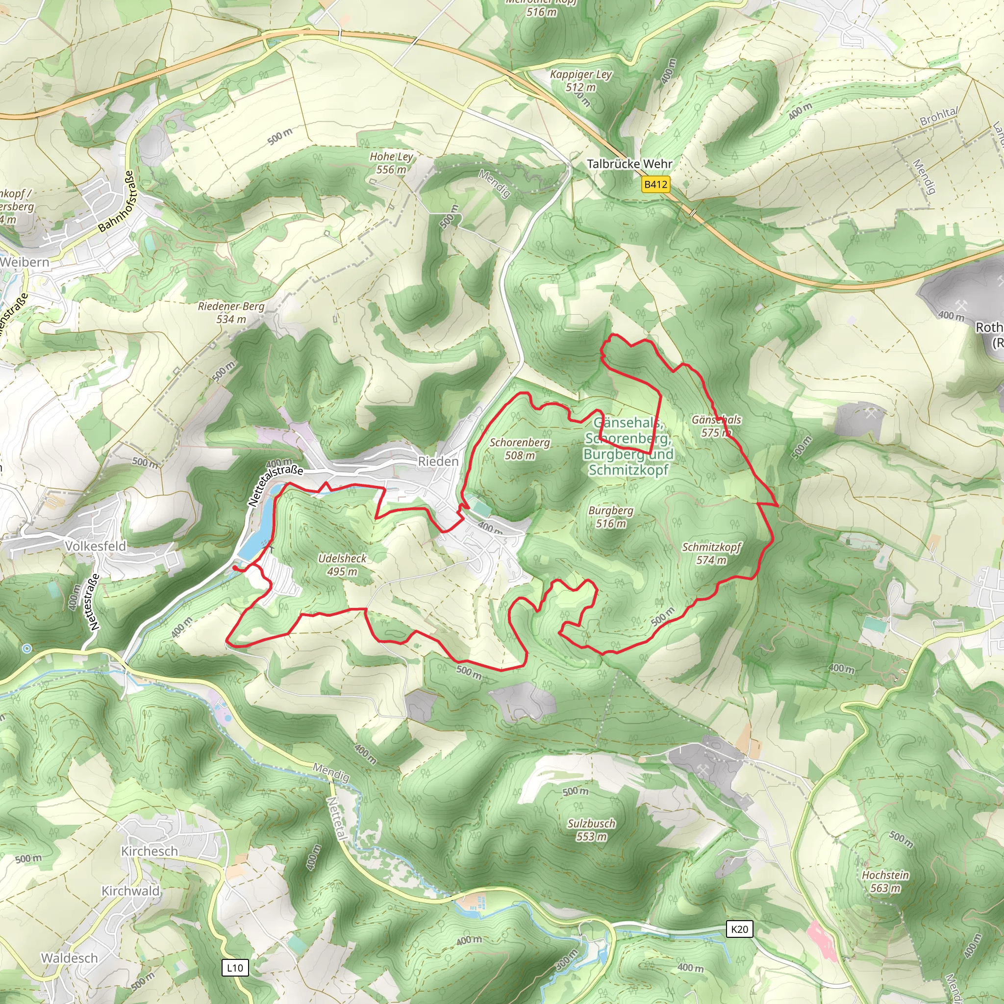
Starting near Mayen-Koblenz, Germany, the Waldsee Rieden, Maifeldblick, and Udelsheck via Traumpfad Waldseepfad Rieden trail is a picturesque loop that spans approximately 14 km (8.7 miles) with an elevation gain of around 400 meters (1,312 feet). This medium-difficulty trail offers a blend of natural beauty, historical landmarks, and diverse wildlife, making it a rewarding experience for hikers.
Getting There To reach the trailhead, you can either drive or use public transport. If driving, set your GPS to Rieden, a small village near Mayen-Koblenz. There is ample parking available near the starting point. For those using public transport, take a train to Mayen and then a bus to Rieden. The nearest significant landmark to the trailhead is the Waldsee Rieden, a serene lake that marks the beginning of your adventure.
Trail Highlights
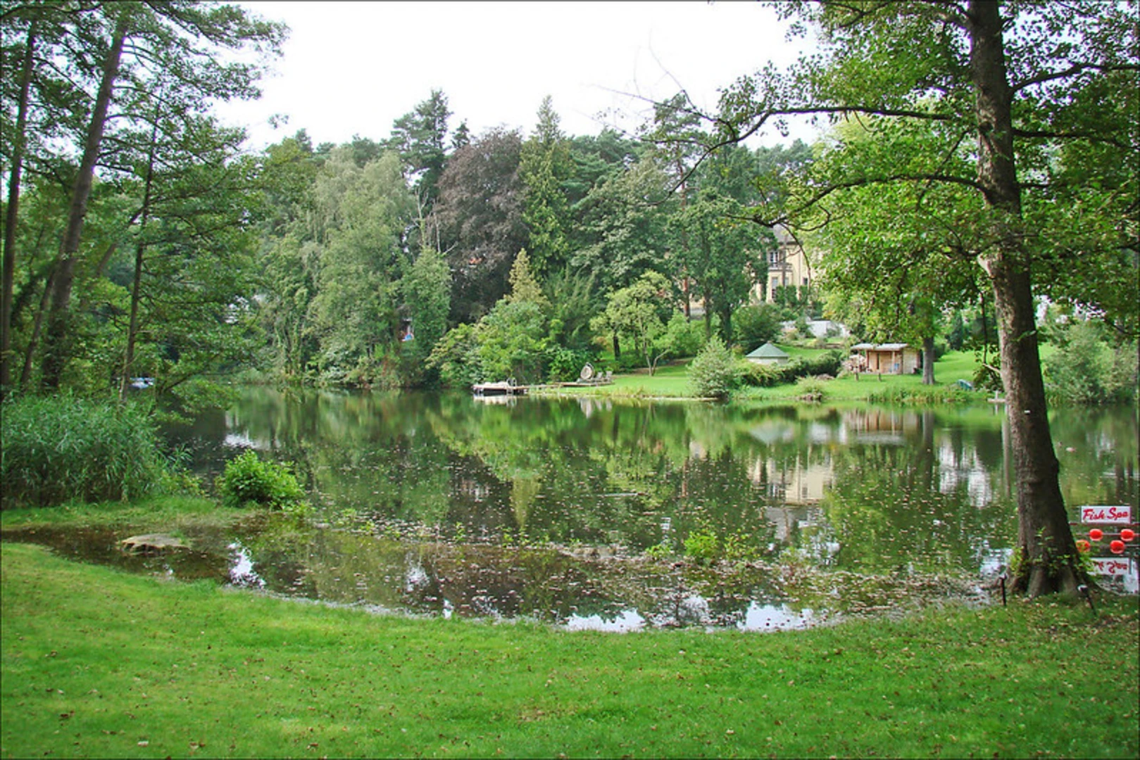
#### Waldsee Rieden Starting at Waldsee Rieden, you'll be greeted by the tranquil waters of the lake, surrounded by lush greenery. This area is perfect for a brief warm-up or a relaxing moment before you embark on the trail. The lake is also a popular spot for local wildlife, so keep an eye out for ducks, swans, and other bird species.
#### Maifeldblick As you ascend towards Maifeldblick, approximately 5 km (3.1 miles) into the hike, you'll gain about 150 meters (492 feet) in elevation. This section offers panoramic views of the Maifeld region, characterized by rolling hills and expansive fields. The viewpoint is an excellent spot for a break and some photography.
#### Udelsheck Continuing on, you'll reach Udelsheck around the 10 km (6.2 miles) mark. This area is known for its historical significance, with remnants of ancient Roman settlements scattered throughout. The elevation gain here is more gradual, adding another 100 meters (328 feet) as you explore the historical sites. Informational plaques provide insights into the region's rich history, making this a culturally enriching part of the hike.
Flora and Fauna The trail is abundant with diverse flora and fauna. In the spring and summer months, you'll encounter a variety of wildflowers, including orchids and lilies. The forested sections are home to deer, foxes, and a plethora of bird species. Autumn brings a stunning display of fall foliage, while winter offers a serene, snow-covered landscape.
Navigation For navigation, it's highly recommended to use HiiKER, which provides detailed maps and real-time updates. The trail is well-marked, but having a reliable navigation tool ensures you stay on track and can fully enjoy the experience without any worries.
Final Stretch The last few kilometers of the trail loop back towards Waldsee Rieden, descending gradually and offering a mix of forested paths and open fields. This section is relatively easy, allowing you to cool down as you approach the end of your hike. The total elevation gain for the entire trail is around 400 meters (1,312 feet), making it a manageable yet rewarding challenge.
This trail offers a perfect blend of natural beauty, historical intrigue, and moderate physical challenge, making it an ideal choice for hikers looking to explore the scenic and historical landscapes of the Mayen-Koblenz region.
What to expect?
Activity types
Comments and Reviews
User comments, reviews and discussions about the Waldsee Rieden, Maifeldblick and Udelsheck via Traumpfad Waldseepfad Rieden, Germany.
4.4
average rating out of 5
5 rating(s)
