Download
Preview
Add to list
More
10.6 km
~2 hrs 42 min
354 m
Loop
“The Taunusklub Route Loop offers 11 km of scenic trails, historical sites, and moderate hiking challenges.”
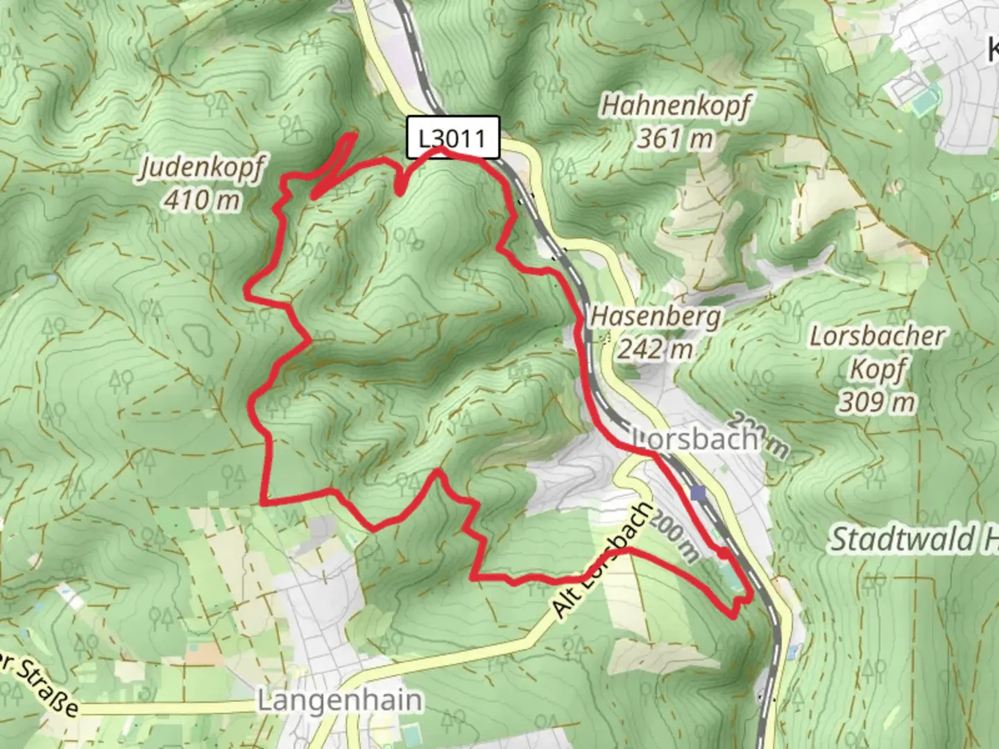
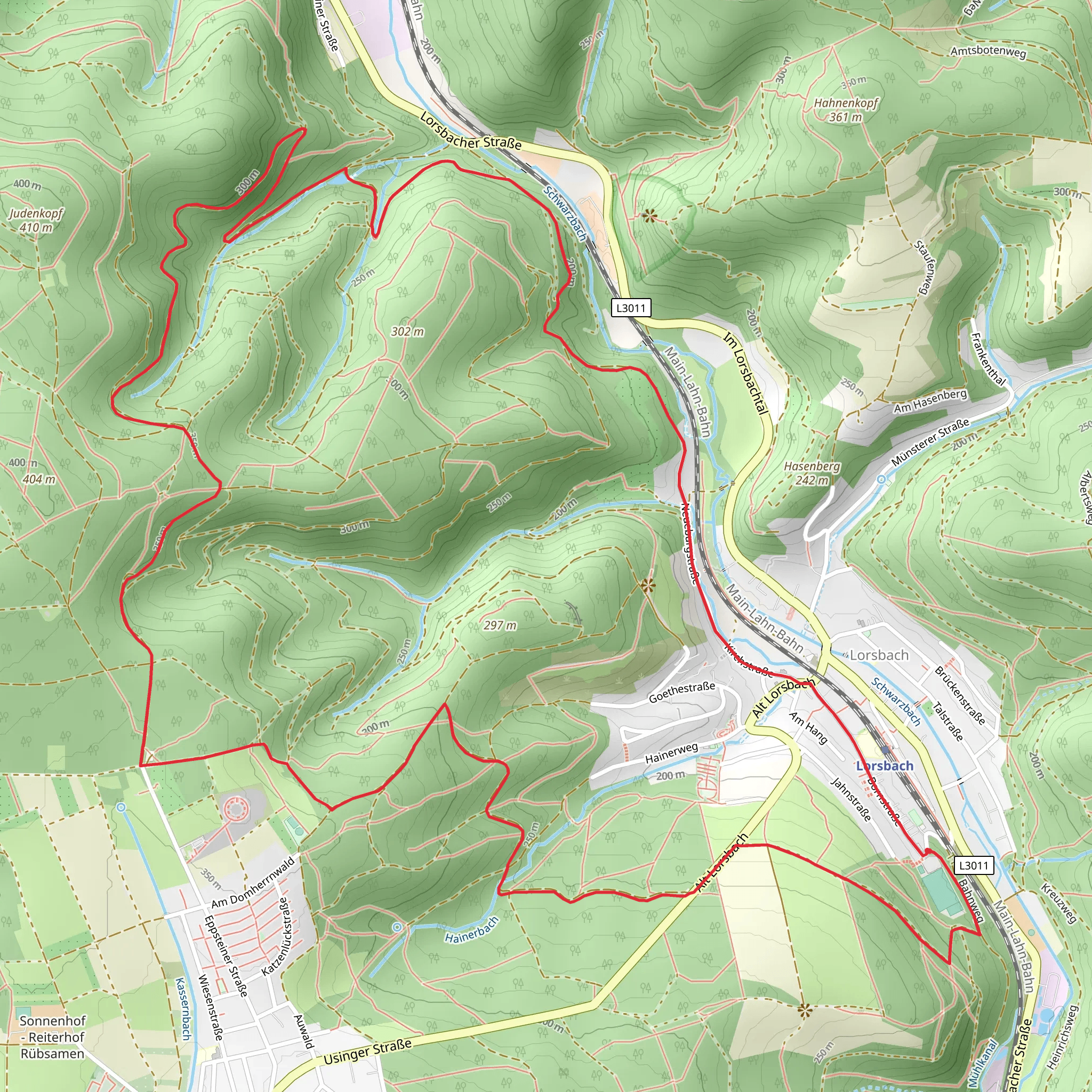
Starting near Main-Taunus-Kreis, Germany, the Taunusklub Route Loop is a captivating 11 km (approximately 6.8 miles) trail with an elevation gain of around 300 meters (984 feet). This loop trail is rated as medium difficulty, making it suitable for moderately experienced hikers.
Getting There To reach the trailhead, you can either drive or use public transport. If driving, set your GPS to the vicinity of Main-Taunus-Kreis, specifically near the town of Hofheim am Taunus. For those using public transport, take a train to Hofheim am Taunus station. From there, local buses or a short taxi ride can get you to the trailhead.
Trail Overview The trail begins with a gentle ascent through mixed forests, offering a serene start to your hike. As you progress, the path becomes steeper, leading you through dense woodlands and open meadows. The first significant landmark is the Gundelhard, a picturesque spot approximately 3 km (1.86 miles) into the hike. Here, you can take a short break and enjoy the panoramic views of the surrounding Taunus mountains.
Historical Significance The Taunus region is rich in history, dating back to Roman times. As you hike, you'll come across remnants of ancient Roman fortifications and watchtowers. One notable site is the Altkönig, an ancient hillfort located about 5 km (3.1 miles) into the trail. This site offers a glimpse into the region's past and provides a unique historical context to your hike.
Flora and Fauna The trail is abundant with diverse flora and fauna. In spring and summer, the meadows are adorned with wildflowers, while the forests are home to a variety of bird species. Keep an eye out for deer and wild boar, which are commonly spotted in this area. The trail also passes through several streams, providing a habitat for amphibians and small mammals.
Navigation and Safety Given the trail's moderate difficulty, it's advisable to use a reliable navigation tool like HiiKER to stay on track. The trail is well-marked, but having a digital map can be helpful, especially in the denser forest sections. Wear sturdy hiking boots and bring sufficient water and snacks, as there are limited facilities along the route.
Final Stretch The final part of the trail takes you through a series of rolling hills and back into the forest. The descent is gradual, allowing you to enjoy the tranquil surroundings as you make your way back to the starting point. The entire loop takes approximately 3-4 hours to complete, depending on your pace and the number of stops you make.
This trail offers a perfect blend of natural beauty, historical intrigue, and moderate physical challenge, making it a rewarding experience for any hiker.
What to expect?
Activity types
Comments and Reviews
User comments, reviews and discussions about the Taunusklub Route Loop, Germany.
4.2
average rating out of 5
5 rating(s)
