Download
Preview
Add to list
More
6.8 km
~1 hrs 21 min
0 m
Loop
“Explore Taunus's enchanting flat trail, blending challenging paths with rich history and natural beauty.”
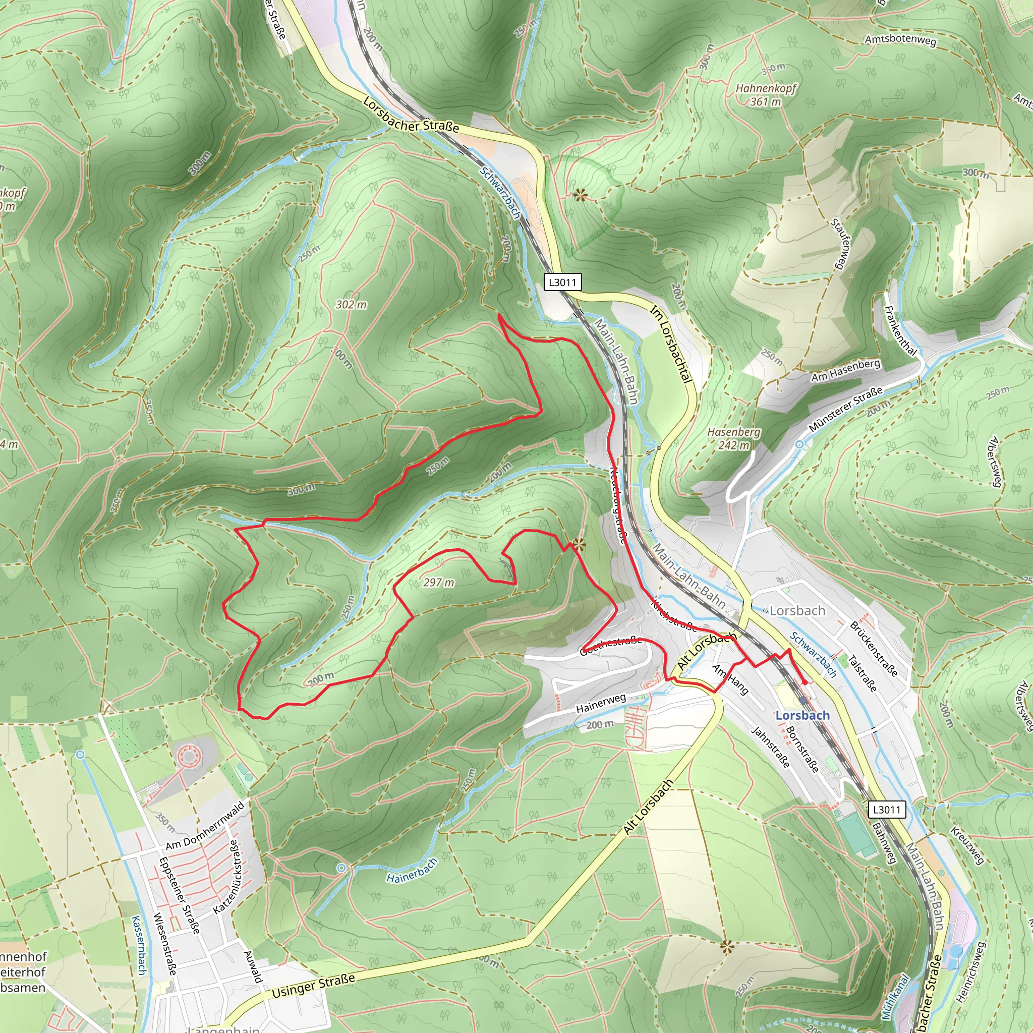
Nestled in the scenic landscapes of Main-Taunus-Kreis, Germany, this challenging 7 km (approximately 4.3 miles) loop trail offers a unique hiking experience with no significant elevation gain, making it a rare find for those seeking a difficult yet flat terrain. The trailhead is conveniently located near the Main-Taunus-Kreis area, easily accessible by both public transport and car.
Getting There
For those traveling by public transport, the nearest major city is Frankfurt am Main. From Frankfurt, you can take a regional train to Hofheim am Taunus, which is the closest town to the trailhead. From Hofheim, local buses or a short taxi ride will bring you to the starting point. If you prefer to drive, the trailhead is accessible via the A66 motorway, with ample parking available nearby.
Trail Highlights
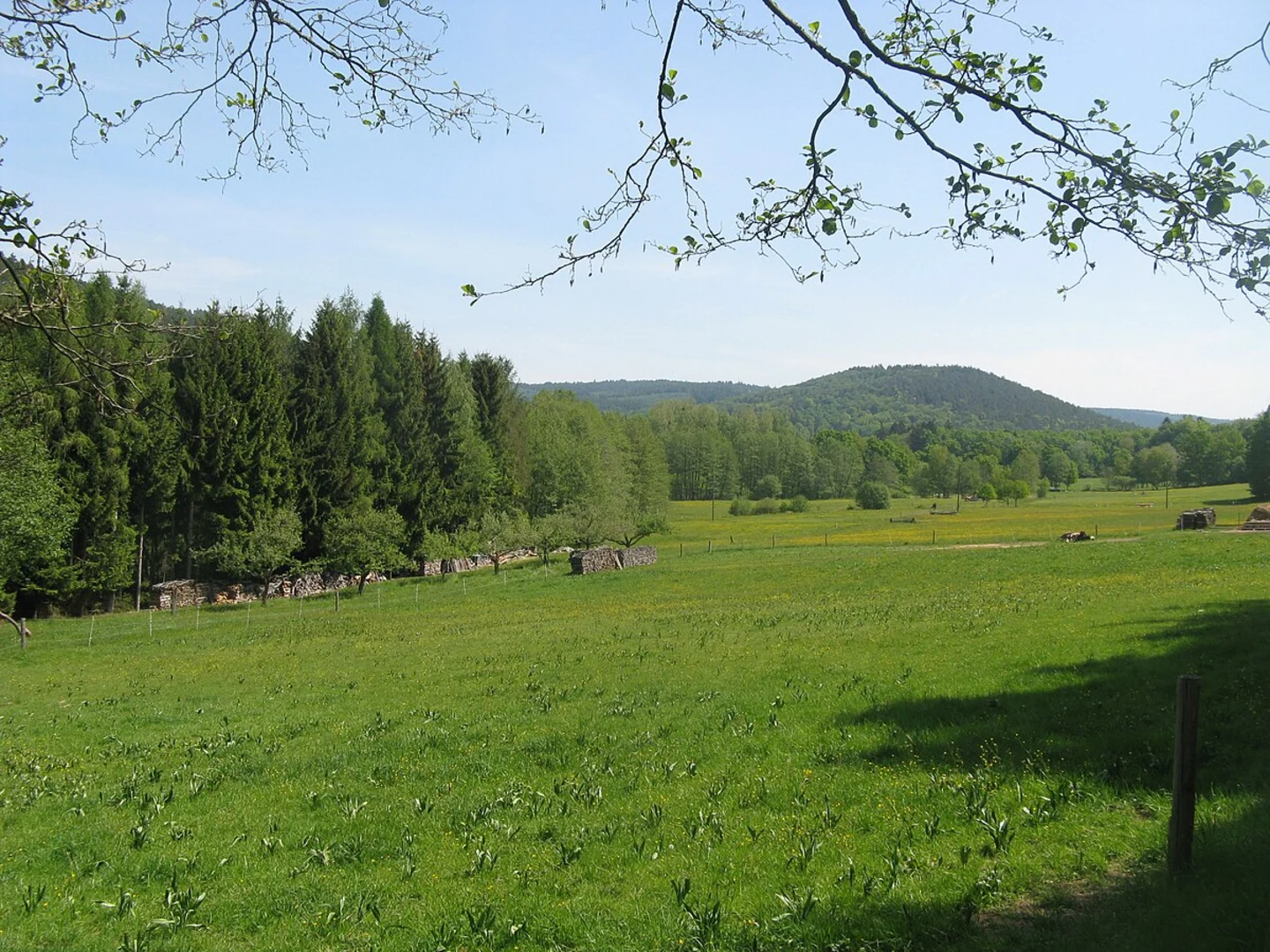
As you embark on this loop trail, you'll traverse through the enchanting Taunus forest, a region rich in natural beauty and historical significance. The dense woodlands are home to a variety of flora and fauna, including oak and beech trees, as well as wildlife such as deer and foxes. Keep your eyes peeled for these creatures, especially during the quieter hours of the day.
#### Historical Significance
The Taunus region is steeped in history, with remnants of Roman settlements scattered throughout the area. As you hike, you may come across ancient ruins and historical markers that tell the story of the Roman Empire's influence in this part of Germany. The trail itself follows paths that have been used for centuries, offering a glimpse into the past as you walk in the footsteps of those who came before.
Navigation and Landmarks
Navigating the trail is straightforward, but it's advisable to use the HiiKER app for real-time guidance and to ensure you stay on track. The trail is well-marked, but the dense forest can sometimes obscure signs, especially in the autumn months when fallen leaves cover the ground.
Significant landmarks along the route include the picturesque Eppstein Castle, visible from certain vantage points on the trail. This medieval fortress, perched on a hill, offers a stunning backdrop and is worth a detour if time permits. Additionally, the trail passes by several small streams and clearings, perfect spots for a rest or a picnic.
Trail Conditions and Preparation
Despite the lack of elevation gain, the trail is rated as difficult due to its length and the sometimes uneven terrain. Hikers should be prepared for sections of the path that may be muddy or slippery, particularly after rain. Sturdy hiking boots with good grip are recommended, along with trekking poles for added stability.
Weather in the Taunus region can be unpredictable, so it's wise to check the forecast before setting out and dress in layers. Carrying a map, water, and snacks is essential, as there are limited facilities along the trail.
This trail offers a unique blend of natural beauty, historical intrigue, and a challenging hike, making it a must-visit for those looking to explore the rich landscapes of the Taunus region.
Comments and Reviews
User comments, reviews and discussions about the Taunusklub Route 22, Germany.
4.33
average rating out of 5
3 rating(s)

