Download
Preview
Add to list
More
7.4 km
~1 hrs 59 min
299 m
Loop
“Explore the Rundwanderweg Keiler: a 7 km loop with scenic views, historical sites, and diverse wildlife.”
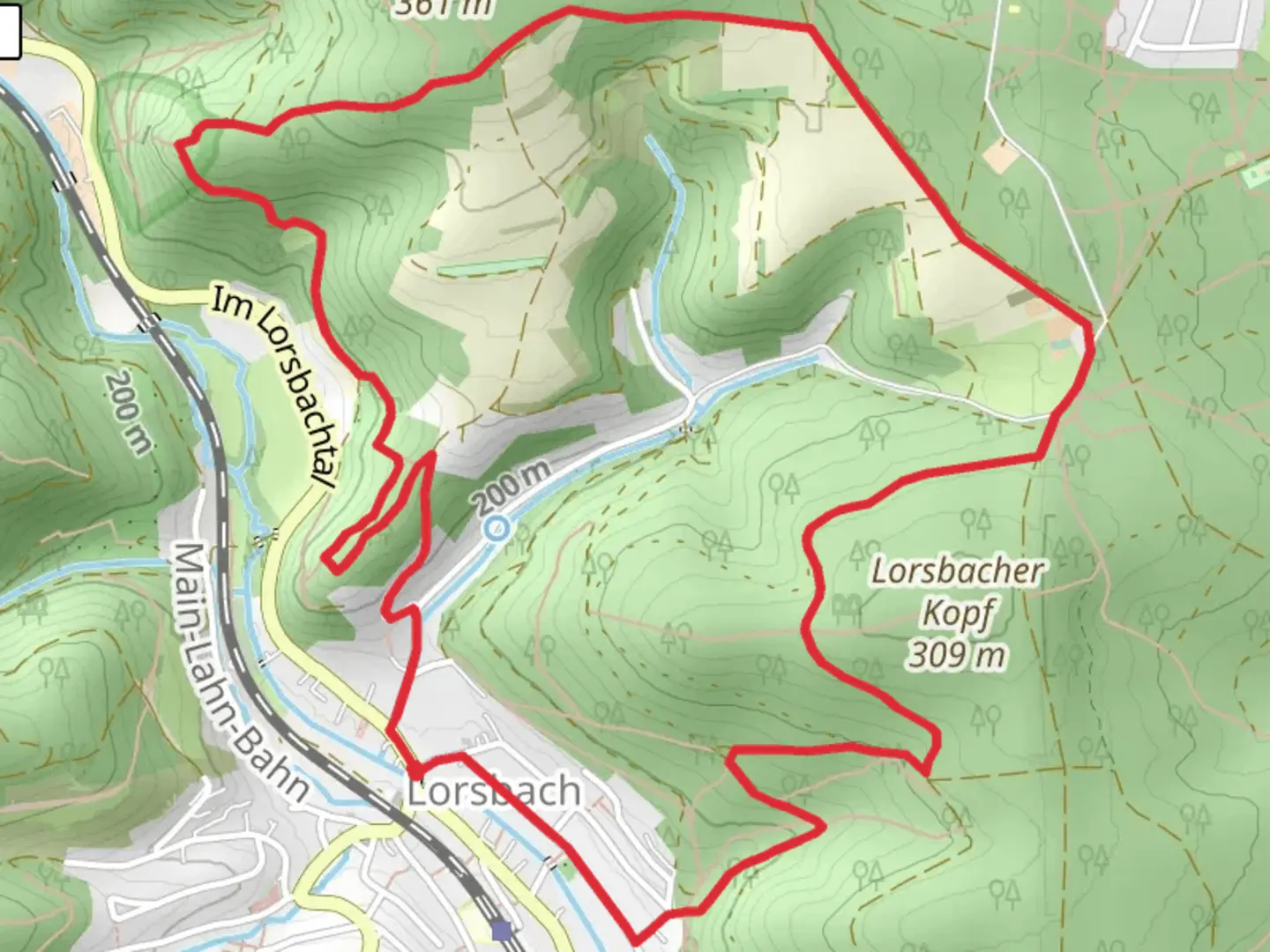
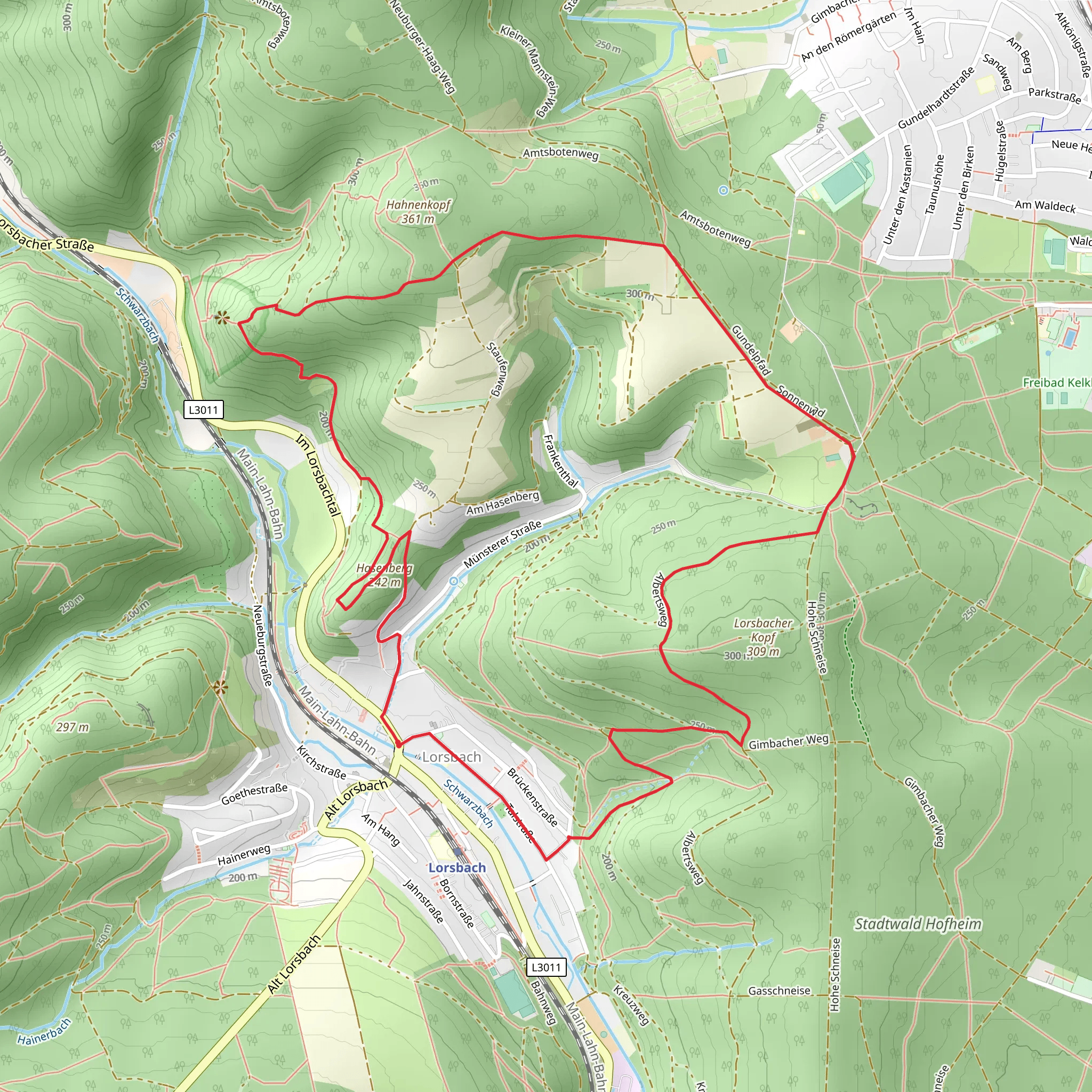
Starting near Main-Taunus-Kreis, Germany, the Rundwanderweg Keiler is a delightful 7 km (4.35 miles) loop trail with an elevation gain of approximately 300 meters (984 feet). This medium-difficulty trail offers a mix of natural beauty, historical landmarks, and opportunities for wildlife spotting, making it an excellent choice for hikers looking to explore the region.
Getting There To reach the trailhead, you can either drive or use public transport. If driving, set your GPS to the nearest known address: Hofheim am Taunus, a town in the Main-Taunus-Kreis district. There are parking facilities available near the trailhead. For those using public transport, take a train to Hofheim (Taunus) station. From there, local buses or a short taxi ride will get you to the starting point.
Trail Overview The trail begins with a gentle ascent through mixed forests, where you can expect to see a variety of flora, including oak, beech, and pine trees. The initial 2 km (1.24 miles) of the trail will take you through dense woodland, offering a serene environment and the chance to spot local wildlife such as deer, foxes, and various bird species.
Historical Significance Around the 3 km (1.86 miles) mark, you'll come across the remnants of ancient Roman fortifications. This area was once part of the Roman Limes, a frontier boundary of the Roman Empire. Informational plaques provide historical context, making it a great spot to take a break and learn about the region's past.
Scenic Views As you continue, the trail opens up to a series of meadows and rolling hills. Around the 4 km (2.48 miles) point, you'll reach a viewpoint offering panoramic views of the Taunus mountain range. This is an excellent spot for photography and a well-deserved rest.
Navigation and Safety The trail is well-marked, but it's always a good idea to have a reliable navigation tool. The HiiKER app is highly recommended for this purpose, providing detailed maps and real-time location tracking. The trail can be muddy and slippery after rain, so appropriate footwear is essential.
Flora and Fauna The final stretch of the trail takes you through a diverse ecosystem, including wetlands and small streams. This area is rich in biodiversity, with opportunities to see amphibians, insects, and a variety of plant species. Keep an eye out for wildflowers, especially in the spring and summer months.
Completing the Loop The last 1 km (0.62 miles) of the trail descends gently back towards the starting point, passing through more forested areas. This section is relatively easy and provides a relaxing end to your hike.
Whether you're a seasoned hiker or a nature enthusiast, the Rundwanderweg Keiler offers a rewarding experience with its blend of natural beauty, historical landmarks, and diverse wildlife.
Comments and Reviews
User comments, reviews and discussions about the Rundwanderweg Keiler, Germany.
4.4
average rating out of 5
5 rating(s)
