Download
Preview
Add to list
More
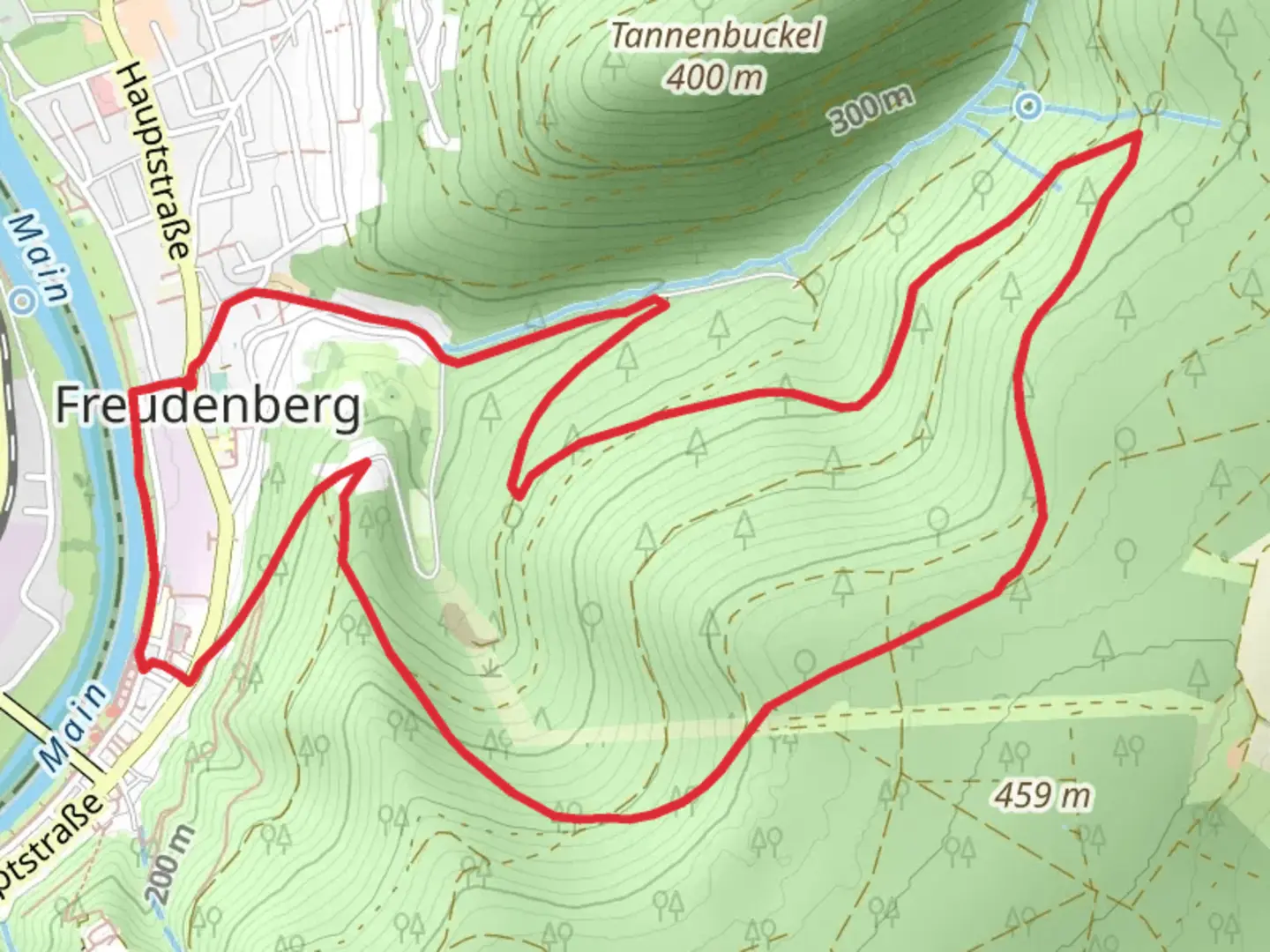
7.4 km
~2 hrs 5 min
370 m
Loop
“The Mautersbrunnen Weg is a scenic 7 km loop trail featuring forests, historical landmarks, and wildlife spotting.”
Starting near Main-Tauber-Kreis, Germany, the Mautersbrunnen Weg is a picturesque loop trail that spans approximately 7 kilometers (4.35 miles) with an elevation gain of around 300 meters (984 feet). This medium-difficulty trail offers a delightful mix of natural beauty, historical landmarks, and opportunities for wildlife spotting.
Getting There To reach the trailhead, you can drive or use public transport. If driving, set your GPS to the nearest significant landmark, which is the town of Tauberbischofsheim. From there, follow local signage to the trailhead. For those using public transport, take a train to Tauberbischofsheim station. From the station, local buses or a short taxi ride can get you to the starting point.
Trail Highlights The trail begins with a gentle ascent through lush forests, offering a serene environment filled with the sounds of chirping birds and rustling leaves. As you progress, you'll encounter the first significant landmark, the Mautersbrunnen, a historic well that dates back several centuries. This well was once a crucial water source for the local community and stands as a testament to the region's rich history.
Flora and Fauna The trail is abundant with diverse flora and fauna. Depending on the season, you might see wildflowers such as bluebells and daisies lining the path. Keep an eye out for local wildlife, including deer, foxes, and a variety of bird species. The forested sections are particularly good for birdwatching, so bringing a pair of binoculars could enhance your experience.
Mid-Trail Elevation Around the 3.5-kilometer (2.17-mile) mark, you'll reach the highest point of the trail, offering panoramic views of the surrounding countryside. This is an excellent spot to take a break, enjoy a snack, and soak in the scenery. The elevation gain to this point is approximately 150 meters (492 feet), making it a moderate climb that most hikers can manage with ease.
Historical Significance As you descend, you'll pass through areas that have historical significance. The region around Main-Tauber-Kreis has been inhabited since Roman times, and remnants of ancient settlements can still be found. Look out for informational plaques that provide insights into the area's past, including its role in medieval trade routes.
Navigation For navigation, it's highly recommended to use the HiiKER app, which provides detailed maps and real-time updates. The trail is well-marked, but having a reliable navigation tool can help ensure you stay on track and make the most of your hike.
Final Stretch The final stretch of the trail takes you through open meadows and farmland, offering a different but equally charming landscape. The gentle descent makes for a relaxing end to your hike, bringing you back to the starting point near Tauberbischofsheim.
This trail offers a well-rounded experience, combining natural beauty, historical landmarks, and opportunities for wildlife observation. Whether you're a seasoned hiker or a casual walker, the Mautersbrunnen Weg provides a rewarding adventure in the heart of Germany's picturesque countryside.

What to expect?
Activity types
Comments and Reviews
User comments, reviews and discussions about the Mautersbrunnen Weg, Germany.
average rating out of 5
0 rating(s)