Download
Preview
Add to list
More
12.6 km
~3 hrs 5 min
349 m
Loop
“The Heinrichshoehe via Rußlandweg trail offers a captivating 13 km hike through lush forests, historical landmarks, and diverse wildlife.”
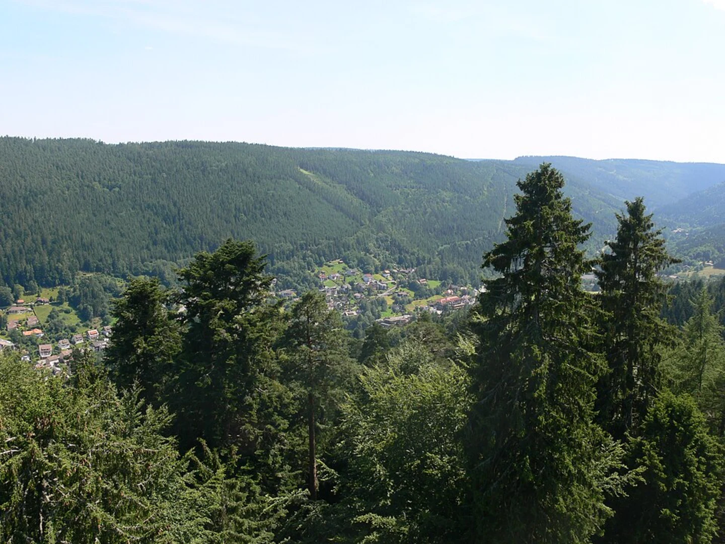
Starting near Main-Kinzig-Kreis, Germany, the Heinrichshoehe via Rußlandweg trail is a captivating loop that spans approximately 13 km (8 miles) with an elevation gain of around 300 meters (984 feet). This medium-difficulty trail offers a blend of natural beauty, historical landmarks, and diverse wildlife, making it a rewarding experience for hikers.
Getting There To reach the trailhead, you can either drive or use public transport. If driving, set your GPS to the nearest known address: Bahnhofstraße 1, 63607 Wächtersbach, Germany. From there, it's a short drive to the trailhead. For those using public transport, take a train to Wächtersbach station. From the station, you can either take a local bus or a taxi to the trailhead.
Trail Overview The trail begins with a gentle ascent through lush forests, where you'll be surrounded by towering trees and the sounds of chirping birds. The first 2 km (1.2 miles) are relatively easy, with an elevation gain of about 50 meters (164 feet), making it a good warm-up for the more challenging sections ahead.
Significant Landmarks At around the 3 km (1.9 miles) mark, you'll come across the Rußlandweg, a historical path that dates back to the early 20th century. This section of the trail is particularly scenic, offering panoramic views of the surrounding countryside. Keep an eye out for the old stone markers that line the path, remnants of a bygone era.
Flora and Fauna As you continue, the trail meanders through a variety of ecosystems, from dense woodlands to open meadows. This diversity in habitats means you'll encounter a wide range of flora and fauna. Look out for deer, foxes, and a variety of bird species. In spring and summer, the meadows are awash with wildflowers, adding a splash of color to your hike.
Midpoint: Heinrichshoehe Around the 6.5 km (4 miles) mark, you'll reach Heinrichshoehe, the highest point of the trail. Here, you'll have gained approximately 200 meters (656 feet) in elevation. This is a great spot to take a break, enjoy a picnic, and soak in the stunning views. On a clear day, you can see for miles, making it a perfect photo opportunity.
Historical Significance The region around Main-Kinzig-Kreis has a rich history, with evidence of human settlement dating back to the Roman era. The trail itself passes by several historical sites, including ancient ruins and old farmhouses. These landmarks offer a glimpse into the area's past and add an extra layer of interest to your hike.
Navigation and Safety The trail is well-marked, but it's always a good idea to have a reliable navigation tool. HiiKER is an excellent app for this purpose, providing detailed maps and real-time updates. Make sure to wear sturdy hiking boots, as some sections can be rocky and uneven. Carry enough water and snacks, especially if you're hiking during the warmer months.
Final Stretch The last 3 km (1.9 miles) of the trail are a gentle descent back to the trailhead. This section takes you through more open landscapes, offering a different perspective compared to the forested areas you traversed earlier. As you near the end, you'll pass by a small stream, a perfect spot to cool off before completing your hike.
This trail offers a well-rounded hiking experience, combining natural beauty, historical landmarks, and diverse wildlife. Whether you're a seasoned hiker or a casual walker, the Heinrichshoehe via Rußlandweg trail has something to offer everyone.

What to expect?
Activity types
Comments and Reviews
User comments, reviews and discussions about the Heinrichshoehe via Rußlandweg, Germany.
4.25
average rating out of 5
4 rating(s)