Download
Preview
Add to list
More
12.7 km
~2 hrs 37 min
43 m
Point-to-Point
“Explore scenic northern Germany on a 13 km trail with serene rivers, historic sites, and diverse wildlife.”
Starting near Lübeck, Germany, this 13 km (approximately 8 miles) point-to-point trail offers a delightful journey through the scenic landscapes of northern Germany. With an elevation gain of around 0 meters, this trail is accessible to hikers of varying skill levels, though it is rated as medium difficulty due to its length and terrain.
Getting There To reach the trailhead, you can either drive or use public transport. If driving, head towards Lübeck and look for parking near the starting point. For those using public transport, Lübeck is well-connected by train and bus services. From Lübeck Hauptbahnhof (main train station), you can take a local bus to the nearest stop, which is a short walk from the trailhead.
Trail Navigation For navigation, it is highly recommended to use the HiiKER app, which provides detailed maps and real-time updates to ensure you stay on track.
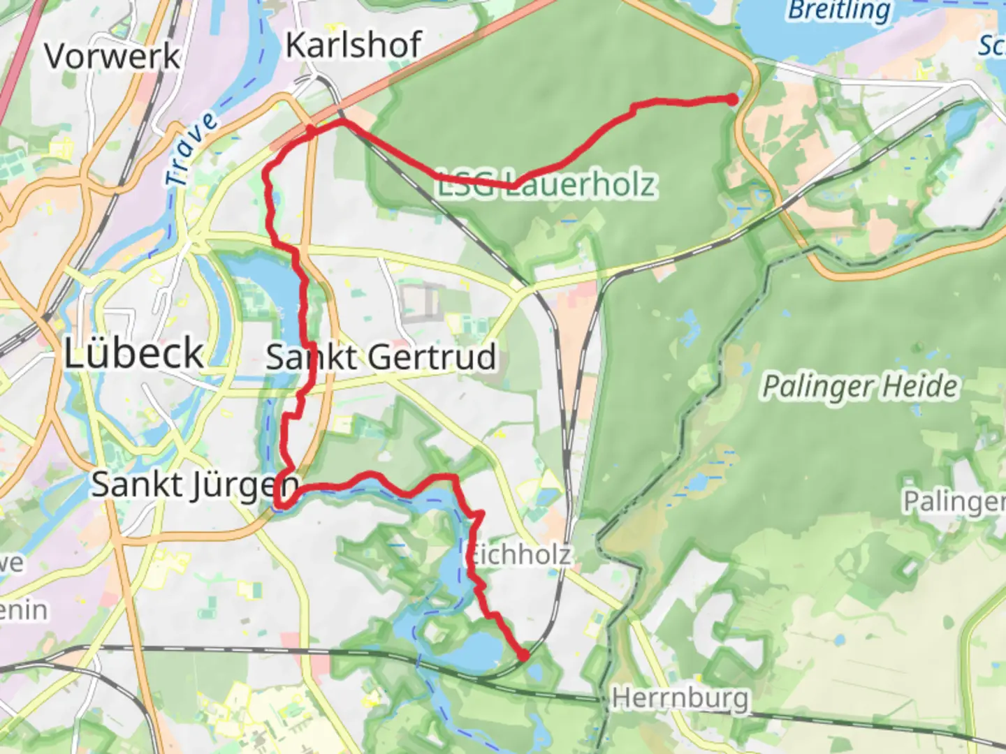
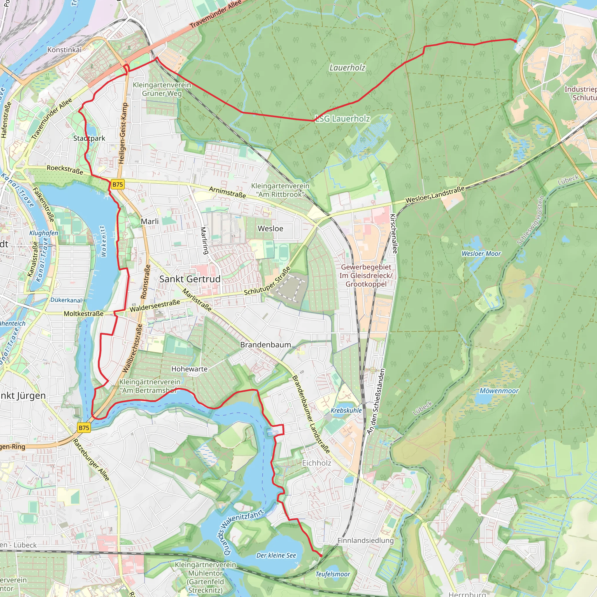
The Journey Begins The trail starts near Lübeck, a city rich in history and known for its medieval architecture. As you set off, you'll quickly find yourself immersed in the natural beauty of the region. The first section of the trail takes you along the Wakenitz River, a serene waterway that offers stunning views and a peaceful atmosphere. Keep an eye out for various bird species that inhabit this area, making it a haven for birdwatchers.
Wakenitz River Approximately 3 km (1.9 miles) into the hike, you'll be walking alongside the Wakenitz River. This part of the trail is particularly picturesque, with lush greenery and the gentle flow of the river providing a calming backdrop. The Wakenitz is also known for its historical significance, as it once served as a natural border between East and West Germany during the Cold War.
Draegerweg Continuing along the trail, you'll eventually reach Draegerweg, a path that takes you through more wooded areas and open fields. This section is about 5 km (3.1 miles) from the start and offers a mix of shaded and open areas, making it a pleasant walk regardless of the weather. The terrain here is relatively flat, making it an easy stretch for most hikers.
Historical Significance As you hike, you'll come across several landmarks that highlight the historical significance of the region. Lübeck itself is a UNESCO World Heritage Site, known for its well-preserved medieval buildings and rich history. The trail also passes near several old farmhouses and estates, offering a glimpse into the rural life of the past.
Wildlife and Flora The trail is home to a variety of wildlife, including deer, foxes, and numerous bird species. The flora is equally diverse, with a mix of deciduous and coniferous trees, wildflowers, and shrubs. Depending on the season, you might also encounter various mushrooms and berries along the way.
Final Stretch to Alt Lauerhof The final section of the trail leads you towards Alt Lauerhof, a small settlement that marks the end of your journey. This part of the trail is about 5 km (3.1 miles) from Draegerweg and continues to offer beautiful scenery and a tranquil environment. As you approach Alt Lauerhof, you'll notice the landscape gradually changing, with more open fields and fewer wooded areas.
Practical Tips - **Water and Snacks:** Make sure to carry enough water and snacks, as there are limited facilities along the trail. - **Footwear:** Wear comfortable hiking shoes, as the terrain can be uneven in some sections. - **Weather:** Check the weather forecast before you set out and dress accordingly. - **Navigation:** Use the HiiKER app for accurate navigation and to stay updated on any trail changes or closures.
This trail offers a perfect blend of natural beauty, historical significance, and a moderate challenge, making it an excellent choice for a day hike near Lübeck.
Comments and Reviews
User comments, reviews and discussions about the Finnland to Alt Lauerhof via Wakenitz and Draegerweg, Germany.
5.0
average rating out of 5
3 rating(s)
