Download
Preview
Add to list
More
3.3 km
~50 min
113 m
Loop
“Explore diverse landscapes and historical treasures on the moderately challenging, scenic Kenners and Obersteig Loop in Lindau.”
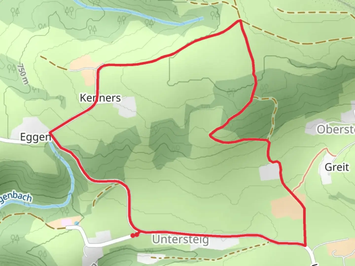
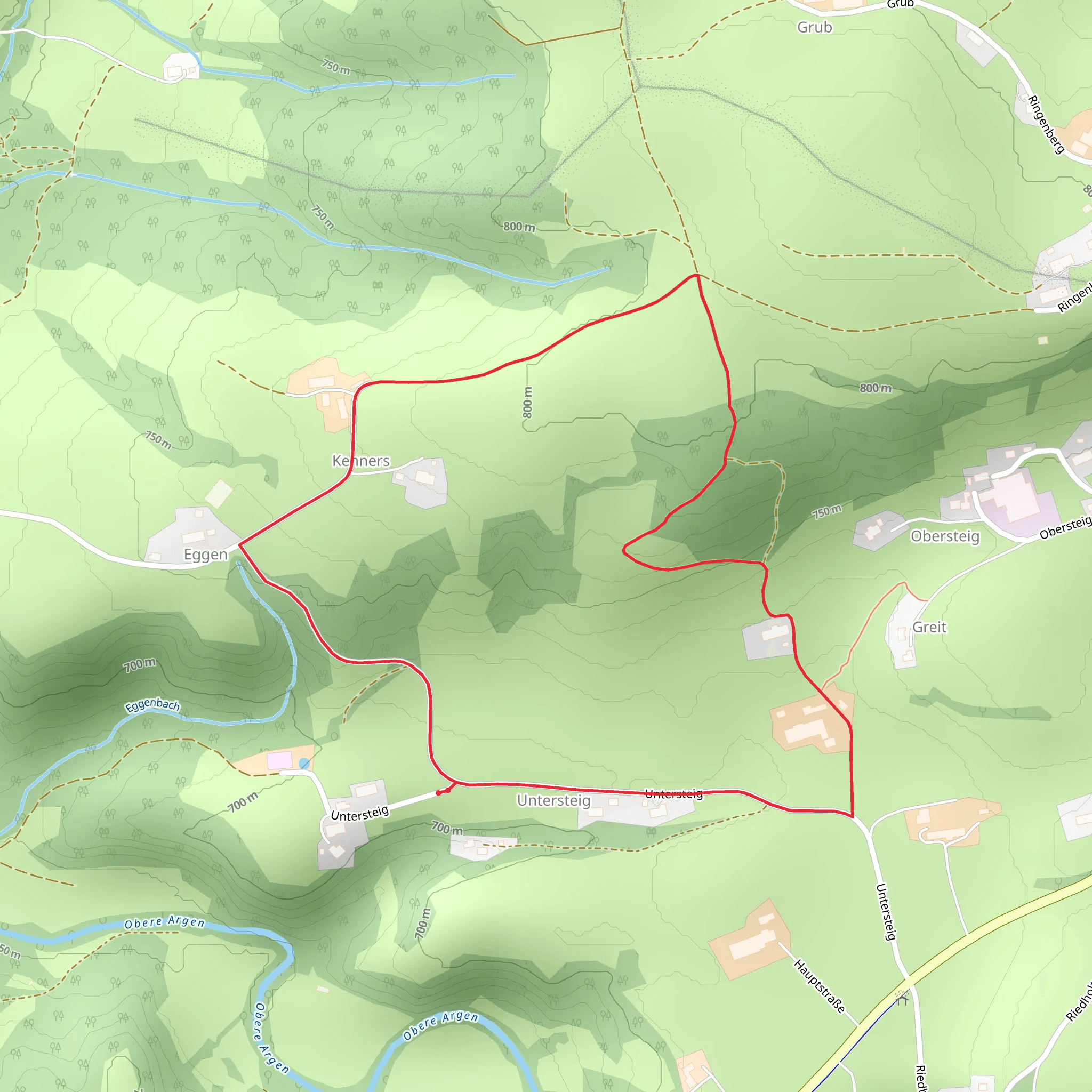
Starting near the picturesque town of Lindau, Germany, the Kenners and Obersteig Loop is a delightful 3 km (1.86 miles) trail with an elevation gain of approximately 100 meters (328 feet). This loop trail is estimated to be of medium difficulty, making it suitable for moderately experienced hikers looking for a rewarding outdoor experience.### Getting There To reach the trailhead, you can either drive or use public transport. If driving, head towards Lindau and look for parking options near the trailhead. For those using public transport, Lindau is well-connected by train. From the Lindau Hauptbahnhof (main train station), you can take a local bus or taxi to the trailhead.### Trail Navigation For navigation, it is highly recommended to use HiiKER, which provides detailed maps and real-time updates to ensure you stay on track.### Trail Highlights As you embark on the Kenners and Obersteig Loop, you'll be greeted by a variety of landscapes, from dense forests to open meadows. The trail is well-marked, but always keep an eye on your HiiKER app for any updates or changes.#### Flora and Fauna The trail is rich in biodiversity. In the spring and summer months, you'll find an array of wildflowers such as daisies, buttercups, and bluebells. The forested sections are home to various bird species, including woodpeckers and songbirds. Keep an eye out for small mammals like squirrels and, if you're lucky, you might even spot a deer.#### Historical Significance The region around Lindau has a rich history dating back to medieval times. As you hike, you'll come across remnants of old stone walls and possibly even ancient boundary markers. These historical artifacts offer a glimpse into the past, when this area was a bustling trade route.### Key Landmarks - At approximately 1 km (0.62 miles): You'll reach a scenic viewpoint that offers stunning vistas of the surrounding countryside. This is a great spot for a short break and some photography. - Around 2 km (1.24 miles): The trail passes by a small, serene pond. This is an excellent place to observe local wildlife and enjoy the tranquility of nature. - Near the 3 km (1.86 miles) mark: As you near the end of the loop, you'll come across a charming wooden bridge that crosses a small stream. This is another picturesque spot worth pausing at.### Elevation and Terrain The trail features a gradual elevation gain of about 100 meters (328 feet), making it a moderate climb. The terrain varies from well-trodden paths to slightly rocky sections, so sturdy hiking boots are recommended. The trail can be a bit slippery after rain, so take caution if the weather has been wet.### Final Stretch As you complete the loop and return to the trailhead, you'll have experienced a diverse range of natural beauty and historical intrigue. The Kenners and Obersteig Loop offers a perfect blend of moderate physical challenge and rich, scenic rewards.
What to expect?
Activity types
Comments and Reviews
User comments, reviews and discussions about the Kenners and Obersteig Loop, Germany.
4.0
average rating out of 5
1 rating(s)
