Download
Preview
Add to list
More
7.5 km
~1 hrs 31 min
17 m
Loop
“Explore an 8 km loop through lush meadows, historic sites, and serene riverbanks near Kreis Wesel, Germany.”
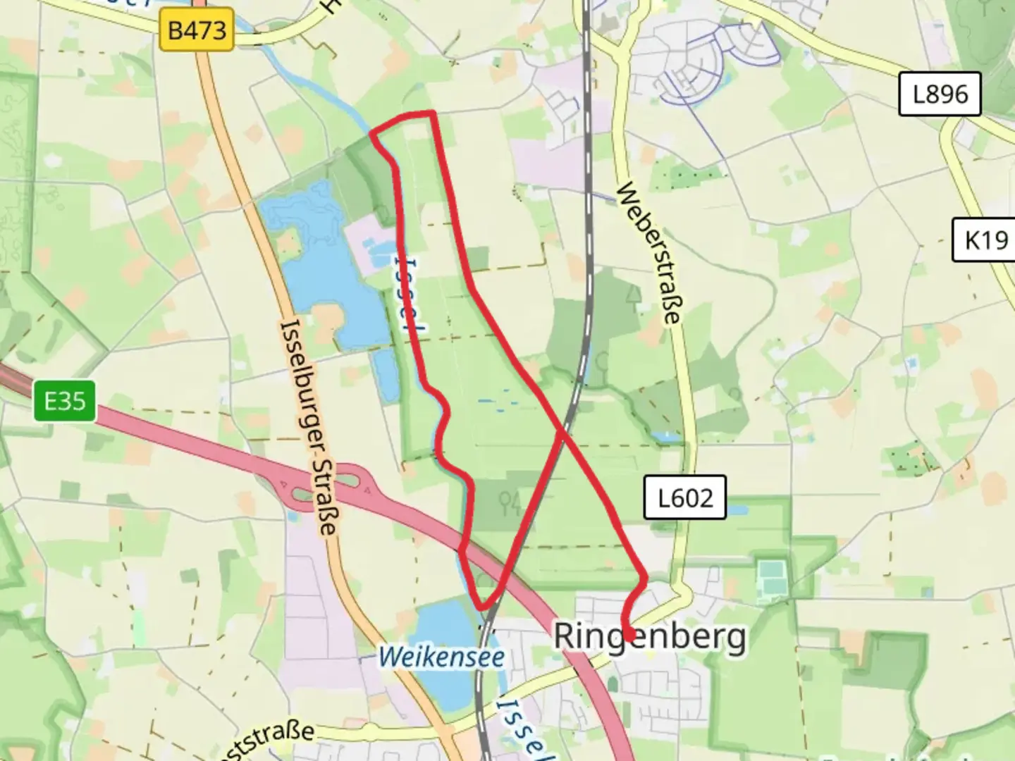
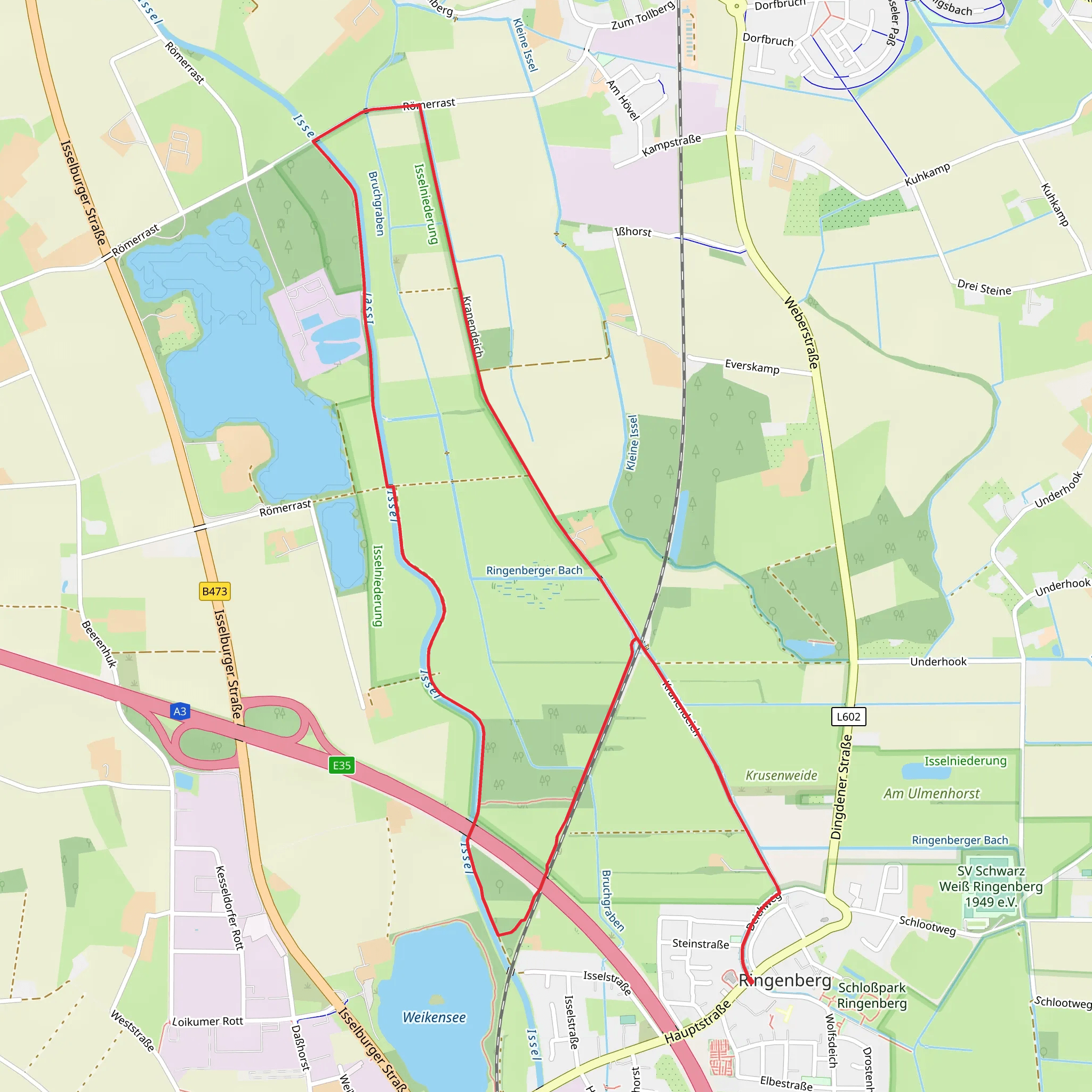
Starting near Kreis Wesel, Germany, this 8 km (approximately 5 miles) loop trail offers a delightful mix of natural beauty and historical intrigue. With no significant elevation gain, it’s a relatively flat hike, making it accessible for a wide range of fitness levels. The trail is estimated to be of medium difficulty, primarily due to its length and varied terrain.
Getting There To reach the trailhead, you can drive or use public transport. If driving, set your GPS to Kreis Wesel, Germany. For those using public transport, the nearest major town is Wesel, which is well-connected by train. From Wesel, you can take a local bus to the vicinity of the trailhead. The bus stop closest to the trailhead is near the Ringenberg Castle, a significant landmark in the area.
Trail Highlights #### Ringenberg Castle Starting your hike near Ringenberg Castle, you’ll be immediately immersed in history. The castle dates back to the 13th century and has been a focal point of the region for centuries. It’s worth taking a few moments to explore the exterior of this well-preserved structure before you begin your hike.
#### Natural Scenery As you proceed along the trail, you’ll traverse through a variety of landscapes, including lush meadows, dense woodlands, and serene riverbanks. The Issel River, which you’ll encounter along the way, is a particularly picturesque spot. Keep an eye out for local wildlife such as deer, foxes, and a variety of bird species. The trail is especially beautiful in the spring and autumn when the foliage is at its most vibrant.
#### Bad Bentheim Approximately halfway through the loop, you’ll reach the area near Bad Bentheim. This region is known for its thermal baths and spa facilities, making it a great spot to take a brief rest and enjoy the serene environment. The town itself is steeped in history, with its origins dating back to Roman times.
Navigation To ensure you stay on track, it’s advisable to use the HiiKER app, which provides detailed maps and real-time navigation assistance. The trail is well-marked, but having a reliable navigation tool can enhance your hiking experience and provide peace of mind.
Historical Significance The region around Kreis Wesel has a rich history, with evidence of human settlement dating back to the Roman era. The trail itself passes through areas that have been significant throughout various periods, from medieval times to the modern era. The proximity to the Issel River has historically made this area a strategic location for trade and defense.
Practical Information - **Distance:** 8 km (5 miles) - **Elevation Gain:** 0 meters (0 feet) - **Trail Type:** Loop - **Difficulty:** Medium
Wildlife and Flora The trail is home to a diverse range of flora and fauna. In the spring, wildflowers bloom in abundance, adding a splash of color to the landscape. Birdwatchers will find plenty to enjoy, with species such as kingfishers, herons, and various songbirds frequently spotted along the route.
Final Tips - **Footwear:** Given the varied terrain, sturdy hiking boots are recommended. - **Weather:** Check the weather forecast before you set out, as conditions can change rapidly. - **Supplies:** Bring sufficient water and snacks, as there are limited facilities along the trail.
This trail offers a perfect blend of natural beauty and historical richness, making it a rewarding experience for any hiker.
Comments and Reviews
User comments, reviews and discussions about the Issel via Ringenberg Rundweg and Bad Bentheim - Bislich, Germany.
5.0
average rating out of 5
1 rating(s)
