Download
Preview
Add to list
More
9.2 km
~2 hrs 12 min
221 m
Loop
“The Schüttholz and Papenberg Loop offers a scenic 9 km hike with natural beauty and historical intrigue.”
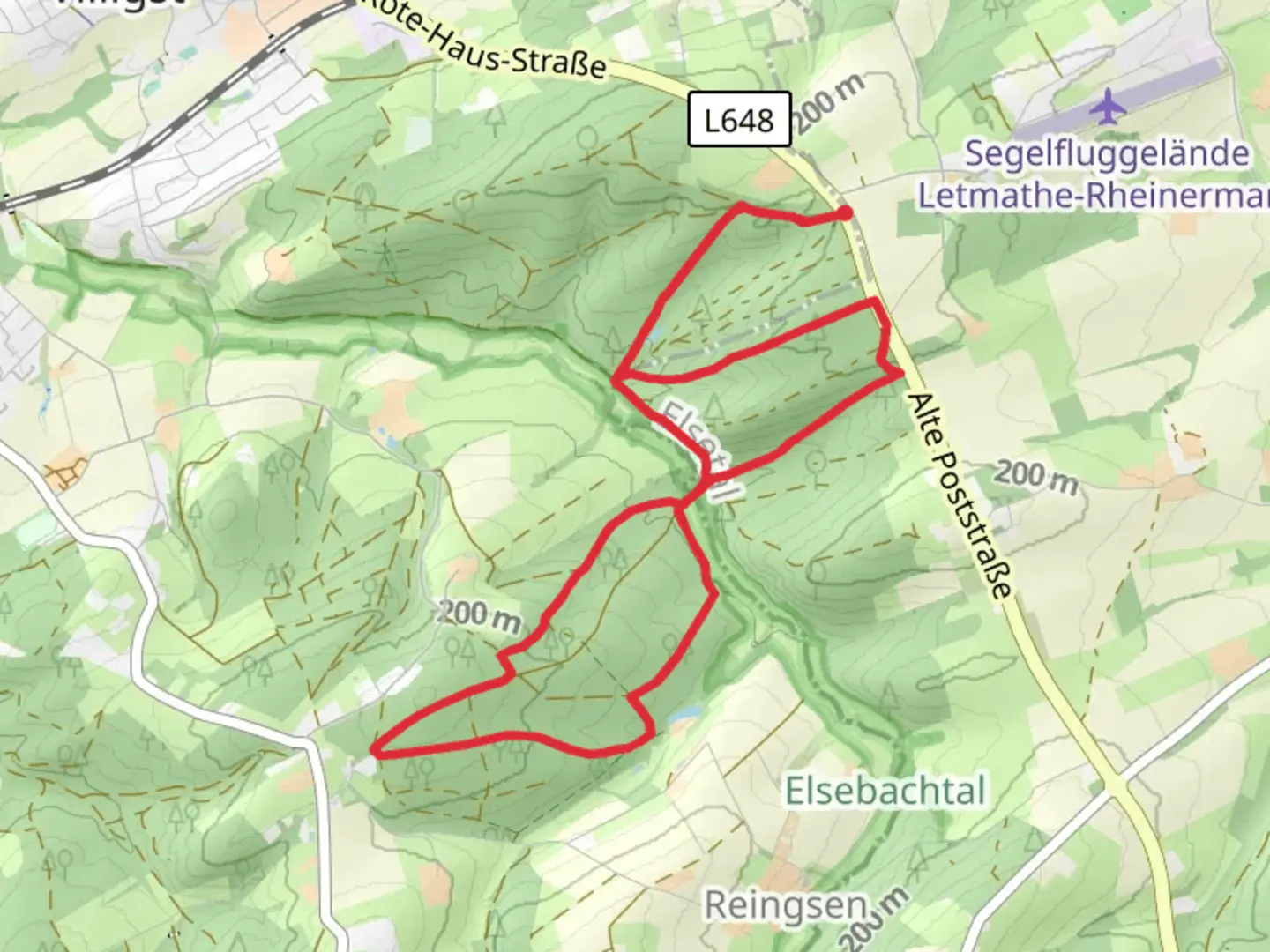
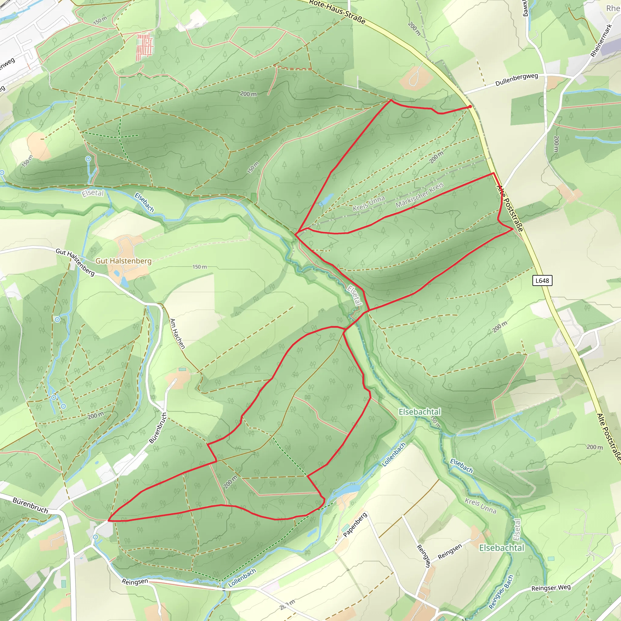
Starting near Kreis Unna, Germany, the Schüttholz and Papenberg Loop via Elsebad Rundweg A7 is a delightful 9 km (5.6 miles) loop trail with an elevation gain of approximately 200 meters (656 feet). This medium-difficulty trail offers a blend of natural beauty, historical significance, and a touch of local culture, making it a rewarding experience for hikers.
Getting There To reach the trailhead, you can either drive or use public transport. If driving, set your GPS to Elsebad, a local swimming pool and recreation area in Schwerte, which is the nearest significant landmark. For those using public transport, take a train to Schwerte station and then a local bus to Elsebad. The trailhead is conveniently located near this recreational area.
Trail Overview The trail begins at Elsebad and quickly immerses you in the serene beauty of the Schüttholz forest. The initial section is relatively flat, allowing you to ease into the hike. As you progress, the trail starts to ascend gently, offering glimpses of the surrounding landscape.
Key Landmarks and Points of Interest - **Schüttholz Forest**: This dense forest area is home to a variety of flora and fauna. Keep an eye out for native bird species and small mammals that inhabit the region. - **Papenberg Hill**: Approximately 4 km (2.5 miles) into the hike, you will reach Papenberg Hill. The ascent here is more noticeable, but the panoramic views from the top are well worth the effort. On clear days, you can see the Ruhr Valley stretching out before you. - **Historical Significance**: The area around Schwerte has a rich history dating back to medieval times. While the trail itself is primarily natural, the nearby town of Schwerte boasts historical buildings and landmarks, including the St. Viktor Church, which dates back to the 12th century.
Trail Navigation The trail is well-marked with signs indicating the A7 route. However, for added security, consider using the HiiKER app to navigate. The app provides detailed maps and real-time GPS tracking, ensuring you stay on course.
Flora and Fauna The trail is a haven for nature enthusiasts. In spring and summer, the forest floor is carpeted with wildflowers, while autumn brings a stunning display of fall foliage. The diverse ecosystem supports a variety of wildlife, including deer, foxes, and numerous bird species.
Practical Tips - **Footwear**: Given the mixed terrain, sturdy hiking boots are recommended. - **Weather**: Check the weather forecast before you set out. The trail can become slippery in wet conditions. - **Supplies**: Carry enough water and snacks, as there are no facilities along the trail. A small first aid kit is also advisable. - **Respect Nature**: Stick to the marked paths to protect the local flora and fauna. Carry out all trash and leave no trace.
Elevation Profile The trail's elevation gain is gradual, with the most significant climb occurring as you approach Papenberg Hill. The total elevation gain is around 200 meters (656 feet), making it manageable for most hikers with a moderate level of fitness.
Return to Trailhead The loop design of the trail means you will return to your starting point at Elsebad. This makes logistics simple, whether you are driving or using public transport.
This trail offers a perfect blend of natural beauty, moderate physical challenge, and a touch of historical intrigue, making it a must-visit for hikers in the region.
What to expect?
Activity types
Comments and Reviews
User comments, reviews and discussions about the Schüttholz and Papenberg Loop via Elsebad Rundweg A7, Germany.
4.0
average rating out of 5
3 rating(s)
