Download
Preview
Add to list
More
4.9 km
~1 hrs 11 min
128 m
Loop
“The Rheine Lienen Loop is a scenic 5 km trail featuring diverse landscapes, wildlife, and historical landmarks.”
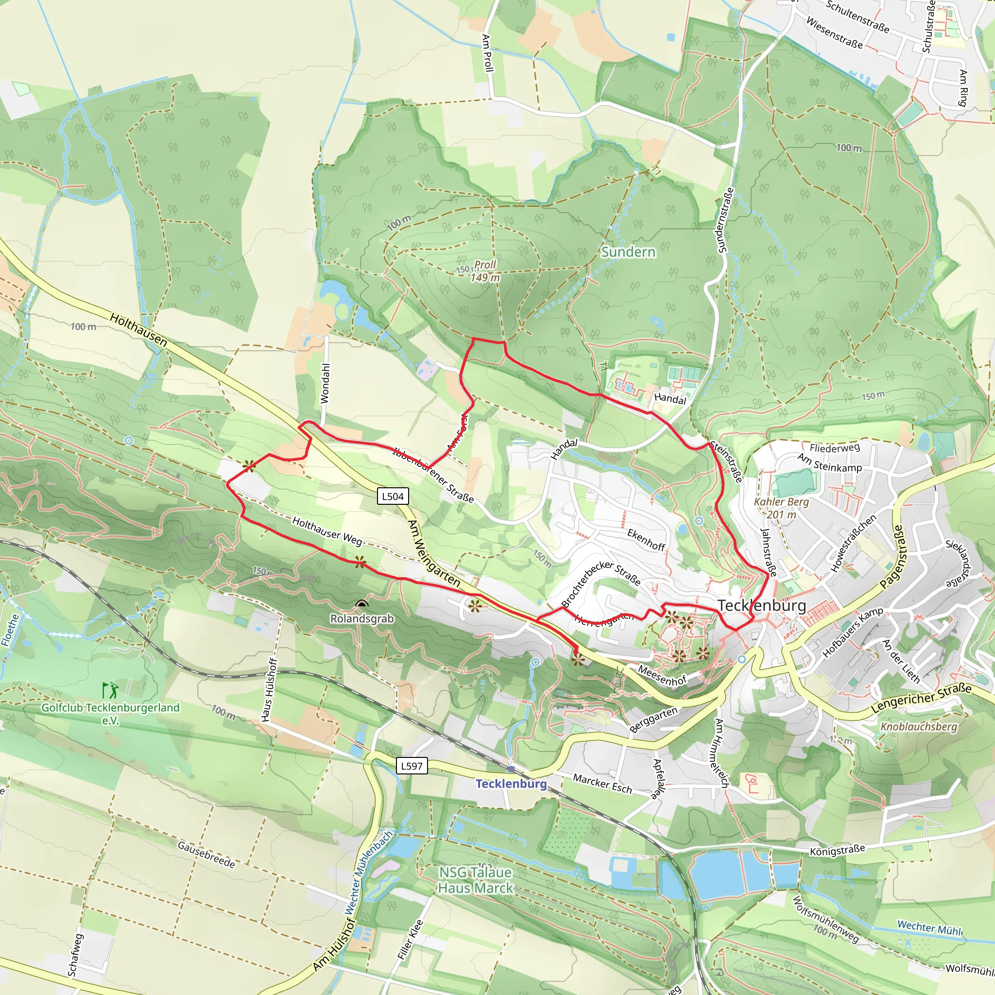
Starting near Kreis Steinfurt, Germany, the Rheine Lienen Loop is a delightful 5 km (approximately 3.1 miles) trail with an elevation gain of around 100 meters (328 feet). This loop trail is rated as medium difficulty, making it suitable for moderately experienced hikers.
Getting There
To reach the trailhead, you can either drive or use public transport. If driving, set your GPS to Kreis Steinfurt, and you will find ample parking options near the starting point. For those using public transport, the nearest significant landmark is the Rheine train station. From there, local buses can take you closer to the trailhead, or you can opt for a short taxi ride.
Trail Navigation
For navigation, it is highly recommended to use HiiKER, which provides detailed maps and real-time updates to ensure you stay on the right path.
Trail Highlights
#### Scenic Views and Natural Beauty
The trail offers a variety of landscapes, from dense forests to open meadows. Early in the hike, you will encounter a beautiful stretch of woodland, where the canopy provides a cool, shaded environment. This section is particularly stunning in the autumn when the leaves turn vibrant shades of red and gold.
#### Wildlife and Flora
Keep an eye out for local wildlife, including deer and various bird species. The area is also rich in flora, with wildflowers blooming in the spring and summer months. The diversity of plant life makes this trail a haven for nature enthusiasts.
#### Historical Significance
As you progress, you will come across several historical landmarks. One notable site is the old water mill, which dates back to the 18th century. This mill played a crucial role in the local economy and is a fascinating glimpse into the region's past. Another point of interest is the ancient oak tree, believed to be over 500 years old, standing as a silent witness to centuries of history.
Elevation and Terrain
The trail features a moderate elevation gain of around 100 meters (328 feet), with a few steep sections that require careful footing. The terrain varies from well-trodden paths to rocky outcrops, so sturdy hiking boots are recommended. The highest point of the trail offers panoramic views of the surrounding countryside, making the climb well worth the effort.
Practical Tips
- Water and Snacks: Ensure you carry enough water and some snacks, as there are no facilities along the trail. - Weather: Check the weather forecast before heading out. The trail can become slippery after rain, so appropriate footwear is essential. - Timing: The loop can be completed in about 1.5 to 2 hours, but allow extra time for breaks and to enjoy the scenery.
Final Stretch
As you near the end of the loop, the trail descends gently back towards the starting point. This final section is a great opportunity to reflect on the diverse landscapes and historical sites you’ve encountered. The Rheine Lienen Loop offers a perfect blend of natural beauty and historical intrigue, making it a rewarding hike for those who venture out.
What to expect?
Activity types
Comments and Reviews
User comments, reviews and discussions about the Rheine Lienen Loop, Germany.
4.5
average rating out of 5
2 rating(s)

