Download
Preview
Add to list
More
6.9 km
~1 hrs 28 min
57 m
Loop
“Explore lush forests and historic sites on the serene, moderate 7 km Luenzumer Mark Rundweg trail.”
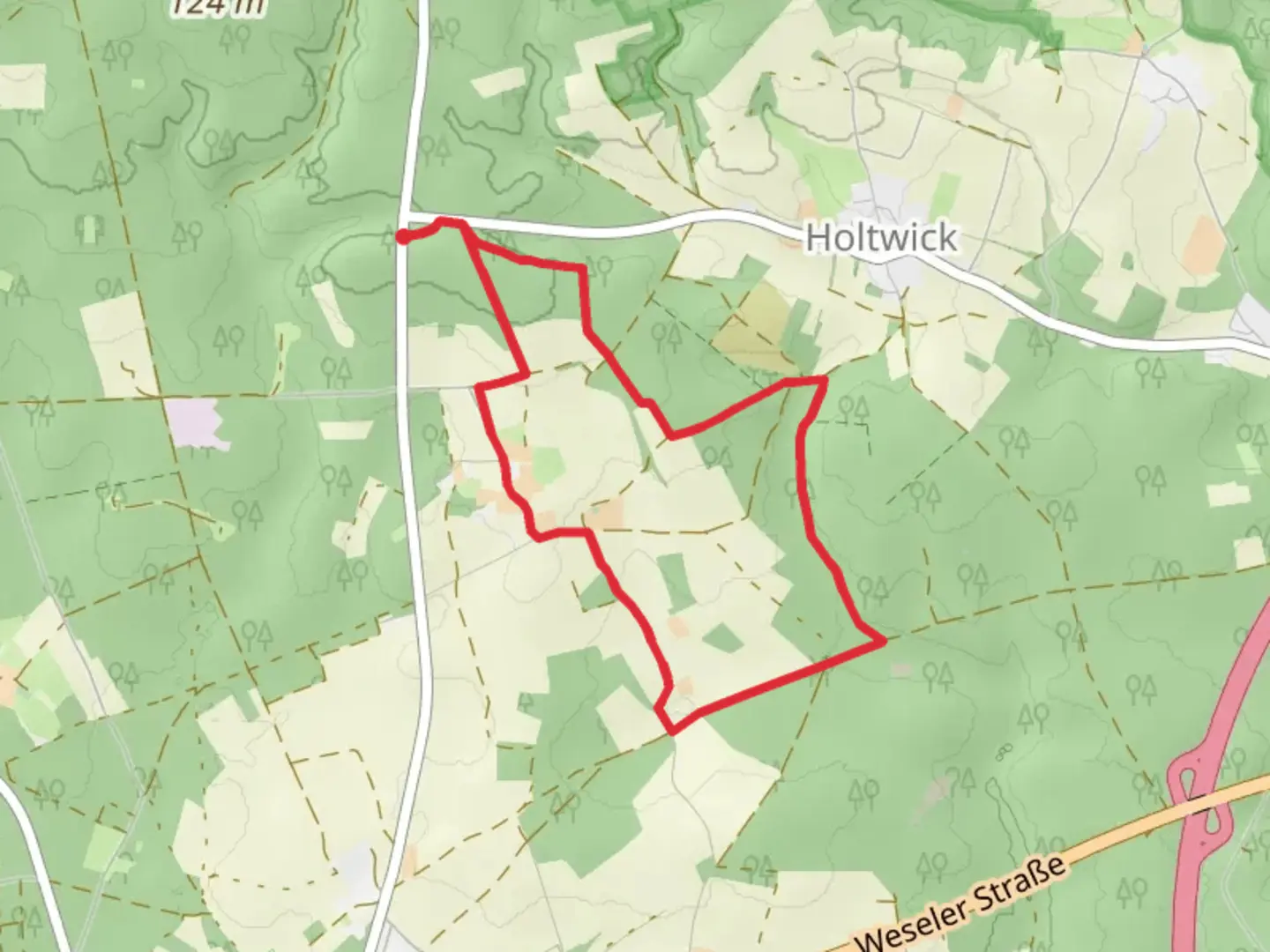
Starting near Kreis Recklinghausen, Germany, the Luenzumer Mark Rundweg and Hohe Mark Steig is a delightful 7 km (approximately 4.35 miles) loop trail that offers a moderate challenge suitable for most hikers. The trailhead is conveniently accessible by both car and public transport. If you're driving, you can park near the town of Haltern am See, which is the closest significant landmark. For those using public transport, take a train to Haltern am See station and then a local bus or taxi to the trailhead.
Trail Overview
The trail is relatively flat with an elevation gain of around 0 meters, making it an excellent choice for those who prefer a leisurely hike without steep climbs. The path meanders through the lush, verdant forests of the Hohe Mark Nature Park, offering a serene escape into nature. The trail is well-marked, but it's always a good idea to have a reliable navigation tool like HiiKER to ensure you stay on course.
Flora and Fauna
As you traverse the trail, you'll be surrounded by a rich tapestry of flora and fauna. The dense woodlands are home to a variety of tree species, including oak, beech, and pine. In the spring and summer months, the forest floor is carpeted with wildflowers, adding a splash of color to your hike. Keep an eye out for local wildlife such as deer, foxes, and a variety of bird species. Birdwatchers will particularly enjoy the opportunity to spot woodpeckers, owls, and songbirds.
Significant Landmarks
Approximately 2 km (1.24 miles) into the hike, you'll come across the historic Haltern Roman Museum, which offers a fascinating glimpse into the region's Roman past. The museum is located near the site of a former Roman military camp and provides valuable insights into the area's historical significance.
Further along the trail, around the 4 km (2.48 miles) mark, you'll encounter the picturesque Silbersee, a small lake that offers a perfect spot for a rest. The lake's tranquil waters reflect the surrounding trees, creating a beautiful and peaceful setting. It's an ideal place to take a break, have a snack, and enjoy the natural beauty.
Trail Navigation and Safety
The trail is well-maintained and marked, but it's always wise to carry a map or use a navigation app like HiiKER to ensure you stay on the right path. The terrain is mostly flat and easy to navigate, but be prepared for occasional muddy patches, especially after rain. Wear sturdy hiking boots and bring plenty of water, as there are no facilities along the trail.
Getting There
To reach the trailhead, drive to Haltern am See and park near the town center. If you're using public transport, take a train to Haltern am See station. From there, you can catch a local bus or taxi to the trailhead, which is just a short distance away.
This trail offers a perfect blend of natural beauty, historical significance, and moderate challenge, making it an excellent choice for a day hike. Whether you're a seasoned hiker or a casual walker, the Luenzumer Mark Rundweg and Hohe Mark Steig promises a rewarding outdoor experience.

Comments and Reviews
User comments, reviews and discussions about the Luenzumer Mark Rundweg and Hohe Mark Steig, Germany.
4.33
average rating out of 5
3 rating(s)