Download
Preview
Add to list
More
8.8 km
~2 hrs 1 min
152 m
Loop
“The Aabach Talsperre Loop offers scenic views, historical sites, and moderate challenges for experienced hikers.”
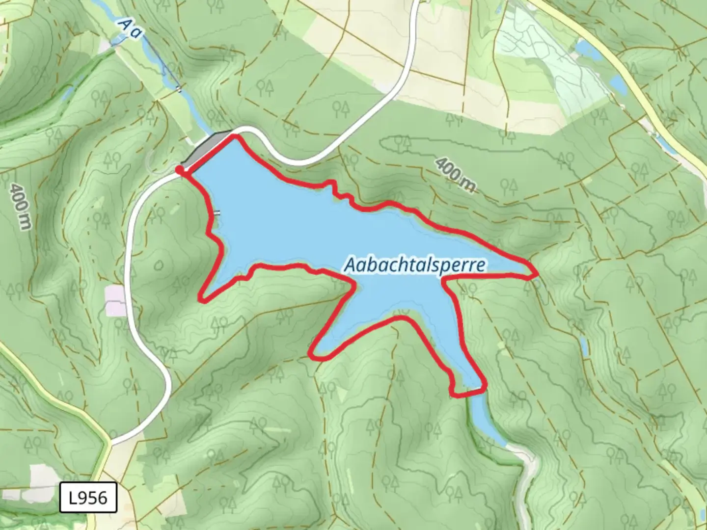
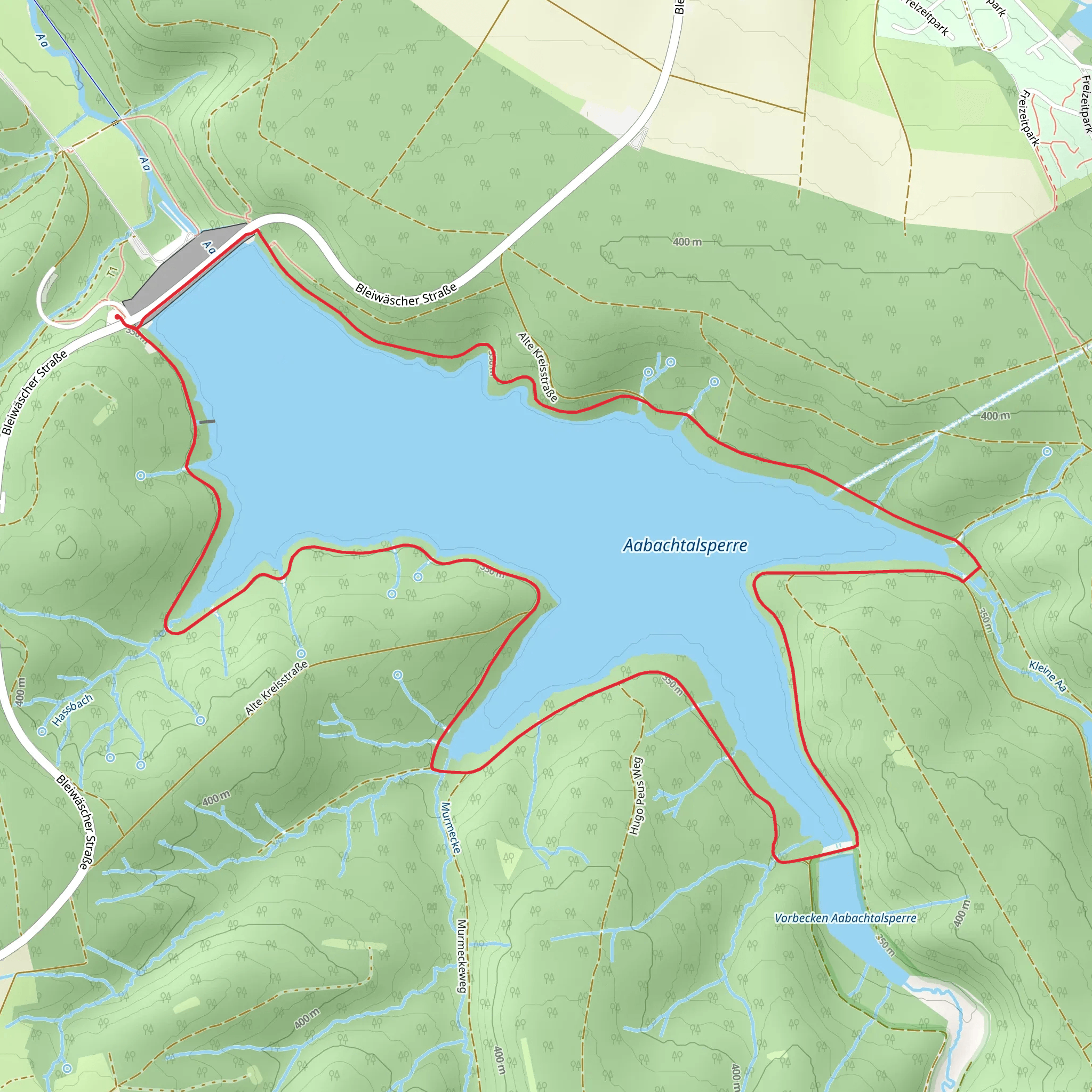
Starting near Kreis Paderborn, Germany, the Aabach Talsperre Loop is a scenic 9 km (5.6 miles) trail with an elevation gain of approximately 100 meters (328 feet). This loop trail is rated as medium difficulty, making it suitable for moderately experienced hikers.
Getting There To reach the trailhead, you can drive or use public transportation. If driving, set your GPS to the vicinity of the Aabach Reservoir, which is well-signposted from Kreis Paderborn. For those using public transport, take a train to Paderborn Central Station and then a local bus towards the Aabach Reservoir. The nearest bus stop is "Aabach-Talsperre," from where the trailhead is a short walk away.
Trail Overview The trail begins near the Aabach Reservoir, a significant water body that supplies drinking water to the region. The reservoir itself is a marvel of engineering, constructed in the mid-20th century to manage water resources effectively. As you start your hike, you'll be greeted by the serene waters of the reservoir, reflecting the surrounding forested hills.
Key Landmarks and Points of Interest - **Aabach Reservoir**: The trail offers multiple viewpoints of the reservoir, especially in the first 2 km (1.2 miles). These spots are perfect for photography or a short rest. - **Forested Sections**: Around the 3 km (1.9 miles) mark, the trail meanders through dense forests, primarily composed of beech and oak trees. This section is particularly beautiful in autumn when the foliage turns vibrant shades of red and gold. - **Wildlife**: Keep an eye out for local wildlife, including deer, foxes, and a variety of bird species. The area is known for its rich biodiversity, so a pair of binoculars might come in handy. - **Historical Sites**: At approximately 5 km (3.1 miles), you'll come across remnants of old mills and waterworks, offering a glimpse into the region's industrial past. Informational plaques provide historical context, making this a great educational stop.
Navigation and Safety The trail is well-marked, but it's always a good idea to have a reliable navigation tool. HiiKER is an excellent app for this purpose, offering detailed maps and real-time GPS tracking. The trail is generally safe, but be cautious of slippery sections, especially after rain.
Elevation and Terrain The elevation gain is moderate, with the most significant ascent occurring between the 4 km (2.5 miles) and 6 km (3.7 miles) marks. The terrain varies from paved paths near the reservoir to more rugged, natural trails in the forested sections. Good hiking boots are recommended to navigate the mixed terrain comfortably.
Facilities and Amenities There are several rest areas and picnic spots along the trail, particularly near the reservoir. Public restrooms are available at the trailhead and at designated points along the route. Make sure to carry enough water and snacks, as there are limited facilities once you enter the forested areas.
Final Stretch The last 2 km (1.2 miles) of the trail loop back towards the reservoir, offering a gentle descent and more stunning views of the water. This section is relatively easy, allowing you to cool down and enjoy the final moments of your hike.
This trail offers a perfect blend of natural beauty, historical significance, and moderate physical challenge, making it a rewarding experience for any hiker.
What to expect?
Activity types
Comments and Reviews
User comments, reviews and discussions about the Aabach Talsperre Loop, Germany.
5.0
average rating out of 5
2 rating(s)
