Download
Preview
Add to list
More
11.0 km
~2 hrs 30 min
190 m
Loop
“Explore a scenic trail through lush forests and historic landscapes, perfect for moderately experienced hikers.”
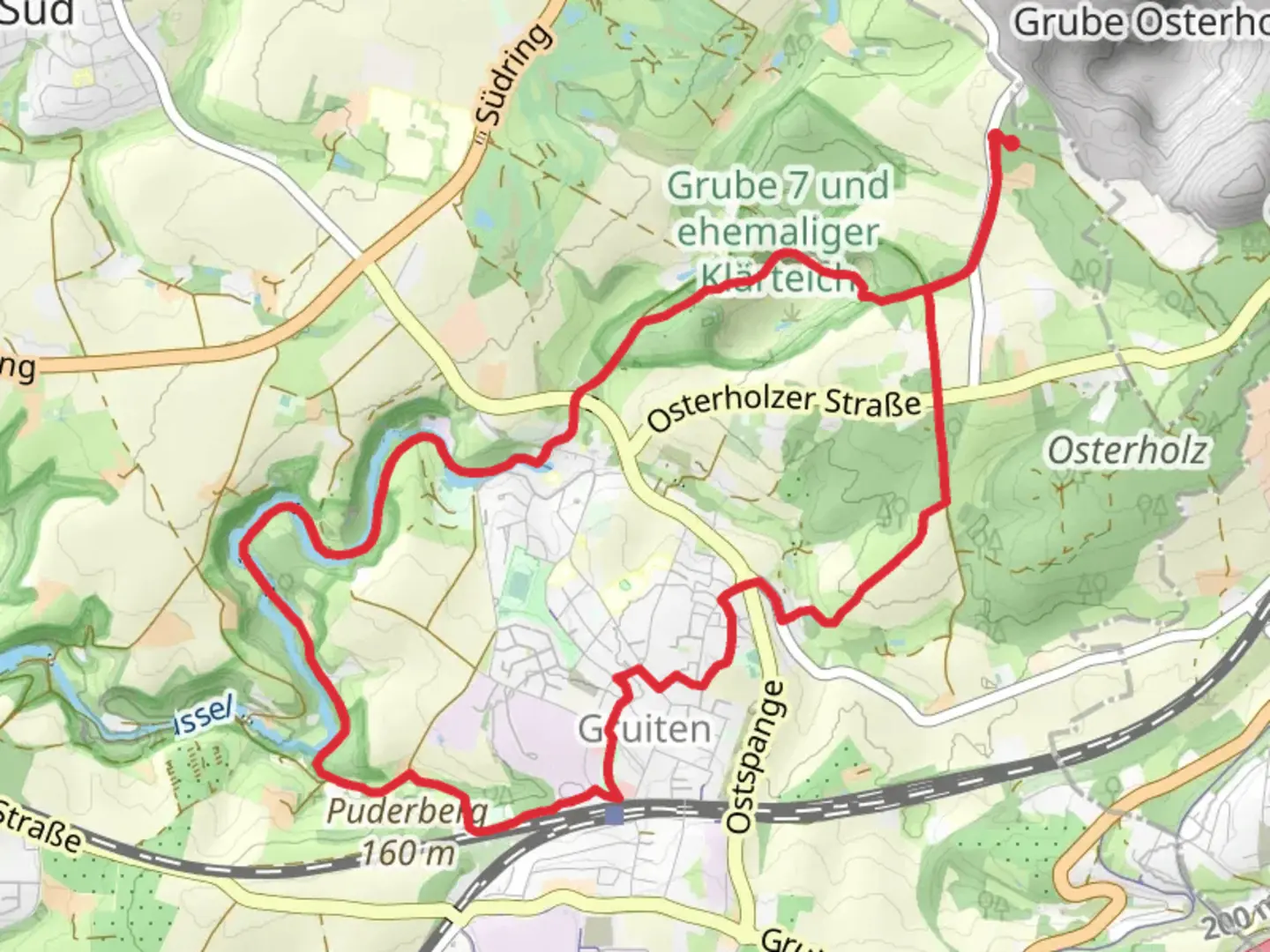
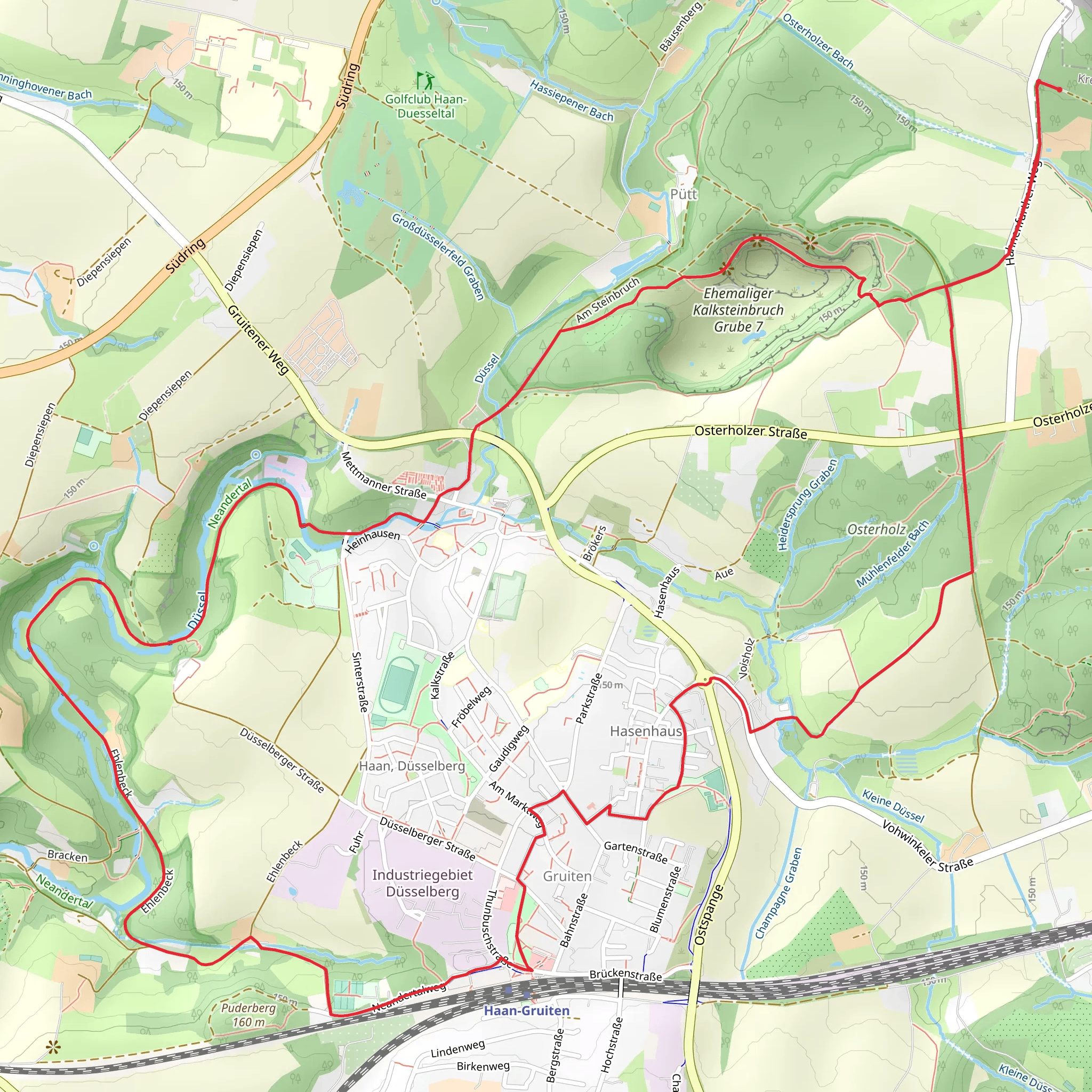
Nestled in the picturesque region of Kreis Mettmann, Germany, this loop trail offers a delightful journey through the lush landscapes of the Bergisches Land. Spanning approximately 11 kilometers (about 6.8 miles) with an elevation gain of around 100 meters (approximately 328 feet), this trail is rated as medium difficulty, making it suitable for moderately experienced hikers.
Getting There
To reach the trailhead, you can drive or use public transportation. If driving, head towards Kreis Mettmann, where parking is available near the starting point. For those using public transport, the nearest major city is Düsseldorf. From there, take a regional train to Mettmann Stadtwald station, followed by a local bus or taxi to the trailhead.
Trail Highlights
#### Bergischer Weg
The trail begins by following a section of the Bergischer Weg, a historic long-distance path that traverses the scenic Bergisches Land region. This area is renowned for its rolling hills, dense forests, and charming villages. As you embark on this journey, you'll be enveloped by the serene beauty of the landscape, with towering trees and the gentle rustling of leaves accompanying your steps.
#### Osterholz Rundweg A1
Continuing onto the Osterholz Rundweg A1, the trail meanders through the Osterholz forest, a haven for nature enthusiasts. This part of the trail is particularly rich in biodiversity, offering opportunities to spot various bird species and small mammals. The forest is a tapestry of vibrant greens in the spring and summer, transitioning to a stunning array of reds and golds in the autumn.
Points of Interest
- Stipps Teich: One of the trail's highlights is Stipps Teich, a tranquil pond that serves as a perfect spot for a rest. The pond is surrounded by lush vegetation and provides a peaceful setting to enjoy a picnic or simply soak in the natural beauty.
- Historical Significance: The Bergisches Land region has a rich history, with roots dating back to medieval times. As you hike, you'll pass through areas that have been shaped by centuries of human activity, from ancient trade routes to traditional farming practices. Keep an eye out for historical markers and information boards that provide insight into the area's past.
Navigation and Safety
For navigation, it's recommended to use the HiiKER app, which provides detailed maps and real-time updates to ensure you stay on track. The trail is well-marked, but having a reliable navigation tool can enhance your hiking experience.
While the trail is generally safe, it's always wise to be prepared. Wear sturdy hiking boots, carry sufficient water, and check the weather forecast before setting out. The trail can be muddy in places, especially after rain, so be cautious on slippery sections.
This loop trail offers a perfect blend of natural beauty, historical intrigue, and a moderate challenge, making it an ideal choice for a day hike in the heart of Germany's enchanting landscapes.
Comments and Reviews
User comments, reviews and discussions about the Stipps Teich via Bergischer Weg and Osterholz Rundweg A1, Germany.
4.4
average rating out of 5
5 rating(s)
