Download
Preview
Add to list
More
8.6 km
~1 hrs 57 min
143 m
Loop
“Explore scenic forests, historical landmarks, and diverse wildlife on this 9 km loop trail near Höxter, Germany.”
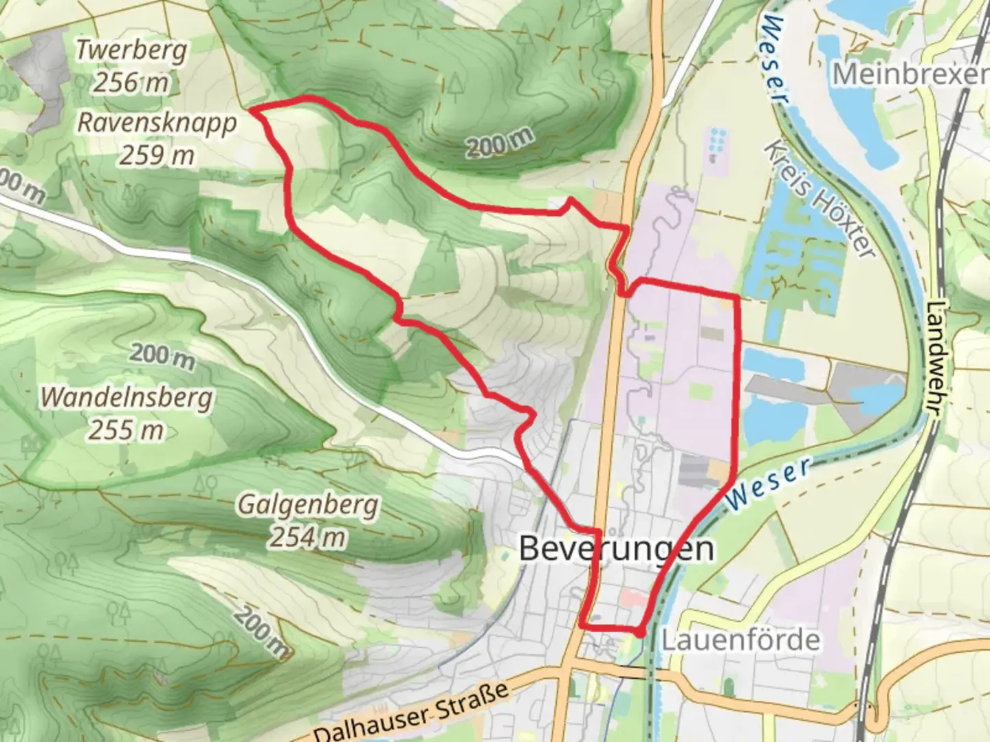
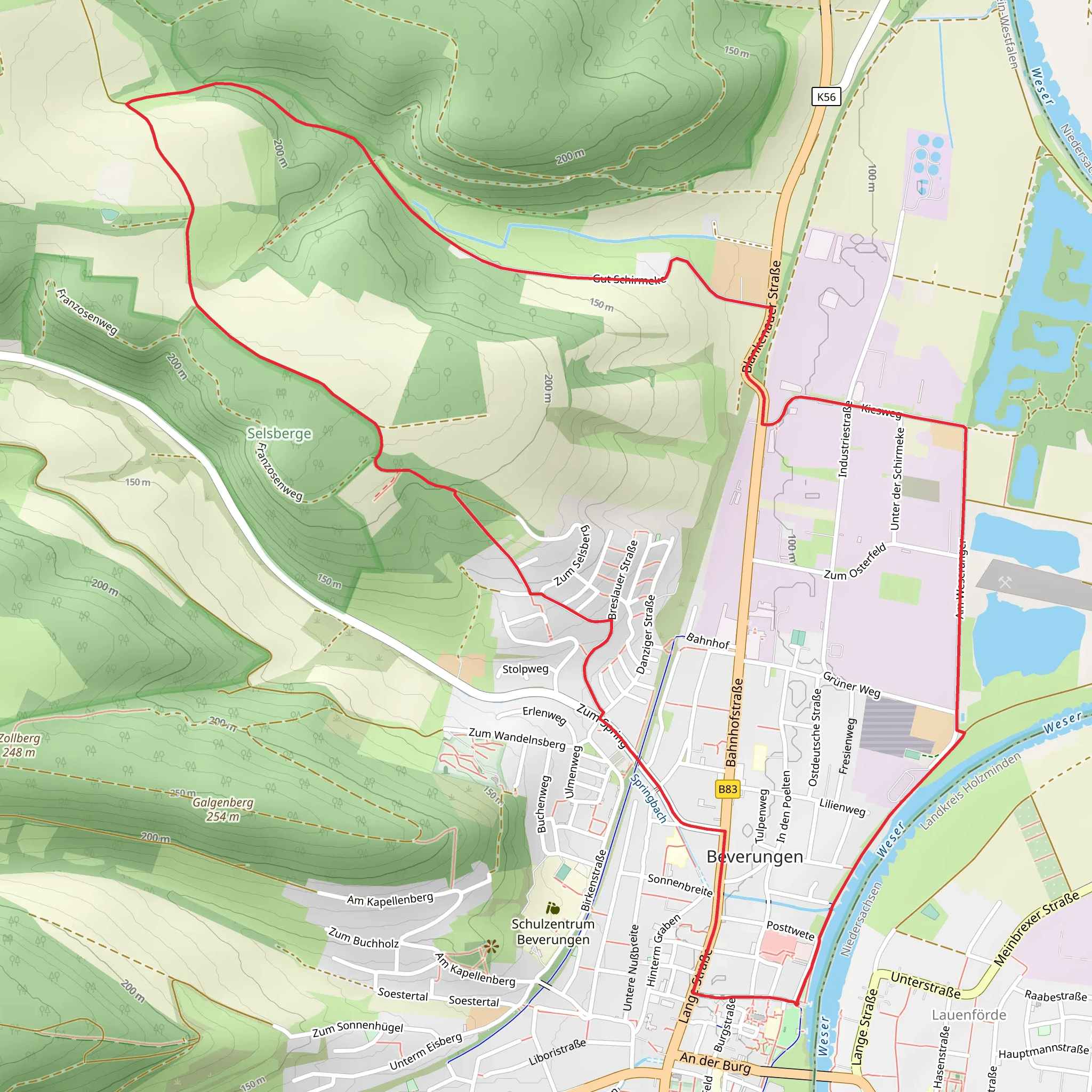
Starting near Kreis Höxter in Germany, this 9 km (approximately 5.6 miles) loop trail offers a moderate hiking experience with an elevation gain of around 100 meters (328 feet). The trailhead is conveniently accessible by both car and public transport. If you're driving, you can park near the town center of Höxter. For those using public transport, the nearest significant landmark is the Höxter Rathaus (Town Hall), from where you can walk to the trailhead.
Trail Overview
The trail begins with a gentle ascent through a mixed forest, providing a serene start to your hike. As you progress, you'll encounter a variety of flora, including oak, beech, and pine trees. The forest floor is often carpeted with wildflowers in the spring and summer, making it a picturesque setting for nature enthusiasts.
Key Landmarks and Points of Interest
#### Selsberg Summit
Approximately 3 km (1.9 miles) into the hike, you'll reach the summit of Selsberg. Although the elevation gain is modest, the summit offers panoramic views of the surrounding countryside. This is an excellent spot for a short break and some photography.
#### Historical Significance
The region around Kreis Höxter is rich in history. As you descend from the summit, you'll pass by remnants of ancient fortifications and old stone walls, believed to date back to the medieval period. These historical markers provide a glimpse into the area's past and are worth a moment of exploration.
Wildlife and Nature
The trail is home to a variety of wildlife. Keep an eye out for deer, foxes, and a plethora of bird species. The diverse ecosystem is supported by the Weser River, which flows nearby and contributes to the lush vegetation.
Navigation and Safety
Given the moderate difficulty rating, the trail is suitable for hikers with a reasonable level of fitness. However, it's always wise to be prepared. The trail is well-marked, but for added security, consider using the HiiKER app for real-time navigation and updates. The app can help you stay on track and provide information on any trail changes or weather conditions.
Final Stretch
The last 2 km (1.2 miles) of the trail take you through open meadows and farmland, offering a different but equally beautiful landscape. This section is relatively flat, making for a relaxing end to your hike. As you loop back towards the trailhead, you'll pass by several small farms and possibly encounter local farmers tending to their fields.
Getting There
To reach the trailhead, if you're driving, set your GPS to Höxter Rathaus. From there, it's a short walk to the start of the trail. For public transport users, the Höxter Rathaus is also the nearest bus stop, serviced by local buses from nearby towns and cities. Once you arrive, follow the signs leading to the trailhead.
This trail offers a balanced mix of natural beauty, historical intrigue, and moderate physical challenge, making it a rewarding experience for hikers of all levels.
What to expect?
Activity types
Comments and Reviews
User comments, reviews and discussions about the Ueber den Selsberg, Germany.
average rating out of 5
0 rating(s)
