Download
Preview
Add to list
More
7.3 km
~1 hrs 45 min
182 m
Loop
“Explore a 7 km trail in Kreis Höxter, blending lush nature, historical landmarks, and moderate challenges.”
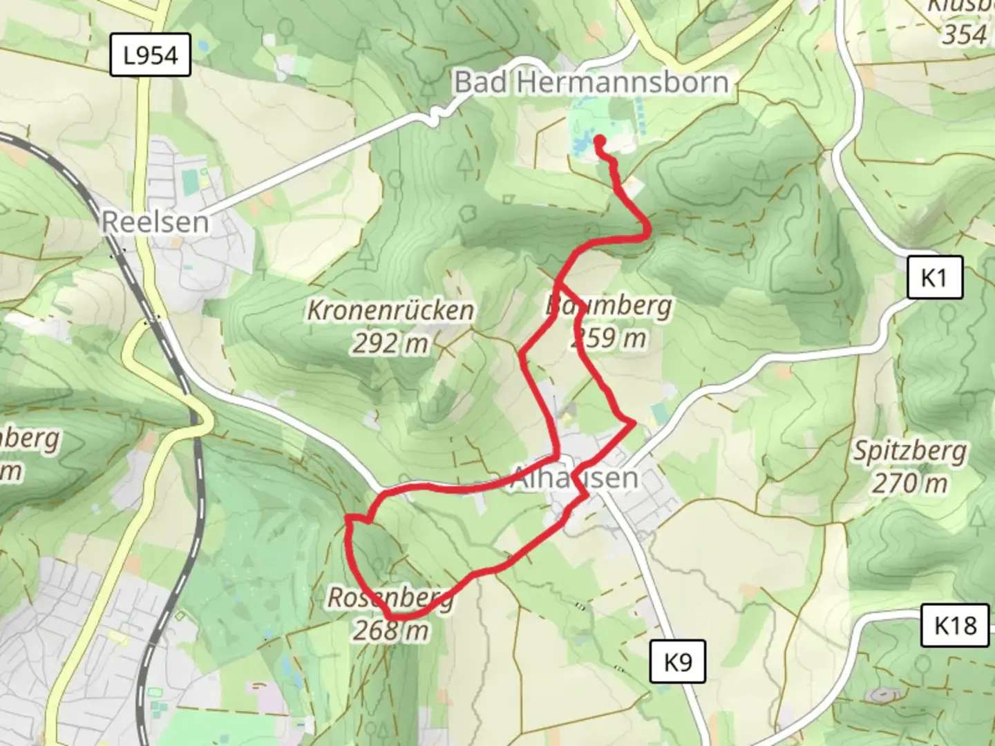
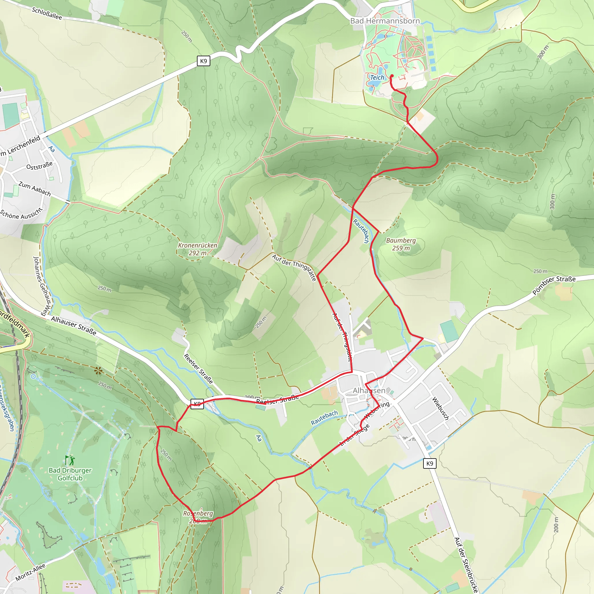
Starting near Kreis Höxter, Germany, the Friedrich Wilhelm Weber Weg and Hoelderlinweg trail offers a delightful 7 km (approximately 4.3 miles) loop with an elevation gain of around 100 meters (328 feet). This medium-difficulty trail is perfect for those looking to immerse themselves in the natural beauty and historical richness of the region.### Getting There To reach the trailhead, you can drive or use public transport. If driving, set your GPS to Kreis Höxter, Germany, and look for parking options near the town center. For public transport, take a train or bus to Höxter station, from where you can either walk or take a short taxi ride to the trailhead.### Trail Overview The trail begins near the town center of Kreis Höxter, making it easily accessible. As you start your hike, you'll find yourself surrounded by lush forests and rolling hills, typical of the North Rhine-Westphalia region. The trail is well-marked, but it's always a good idea to have the HiiKER app handy for navigation.### Significant Landmarks One of the first landmarks you'll encounter is the Friedrich Wilhelm Weber monument, dedicated to the famous German poet and physician. This spot offers a great opportunity to learn about his contributions to literature and medicine. As you continue, you'll pass through serene woodlands and open meadows, providing a mix of shaded and sunny areas.### Nature and Wildlife The trail is home to a variety of flora and fauna. Keep an eye out for native birds like the European robin and the great tit. The forested sections are rich with oak, beech, and pine trees, offering a vibrant display of colors, especially in the autumn months.### Historical Significance The region around Kreis Höxter is steeped in history. The trail itself is named after Friedrich Wilhelm Weber and Friedrich Hölderlin, two prominent figures in German literature. As you hike, you'll come across several informational plaques that provide insights into their lives and works. Additionally, the area has historical ties dating back to medieval times, with remnants of old fortifications and ancient pathways.### Elevation and Terrain The trail features a moderate elevation gain of around 100 meters (328 feet), making it accessible for most hikers. The terrain varies from well-trodden paths to slightly rocky sections, so sturdy hiking boots are recommended. The highest point of the trail offers panoramic views of the surrounding countryside, a perfect spot for a rest and some photos.### Practical Tips - Water and Snacks: There are no facilities along the trail, so bring enough water and snacks. - Weather: Check the weather forecast before heading out, as the trail can get muddy after rain. - Wildlife: While the trail is generally safe, be mindful of local wildlife and stick to the marked paths.### Navigation Using the HiiKER app will ensure you stay on track and can easily find points of interest along the way. The app provides detailed maps and real-time GPS tracking, making your hike more enjoyable and stress-free.This 7 km loop offers a perfect blend of natural beauty, historical intrigue, and moderate physical challenge, making it a must-visit for any hiking enthusiast exploring the Kreis Höxter area.
Comments and Reviews
User comments, reviews and discussions about the Friedrich Wilhelm Weber Weg and Hoelderlinweg, Germany.
4.5
average rating out of 5
2 rating(s)
