Download
Preview
Add to list
More
11.4 km
~2 hrs 40 min
233 m
Loop
“Explore Kreis Höxter’s scenic 11 km trail featuring lush forests, historical sites, and diverse wildlife.”
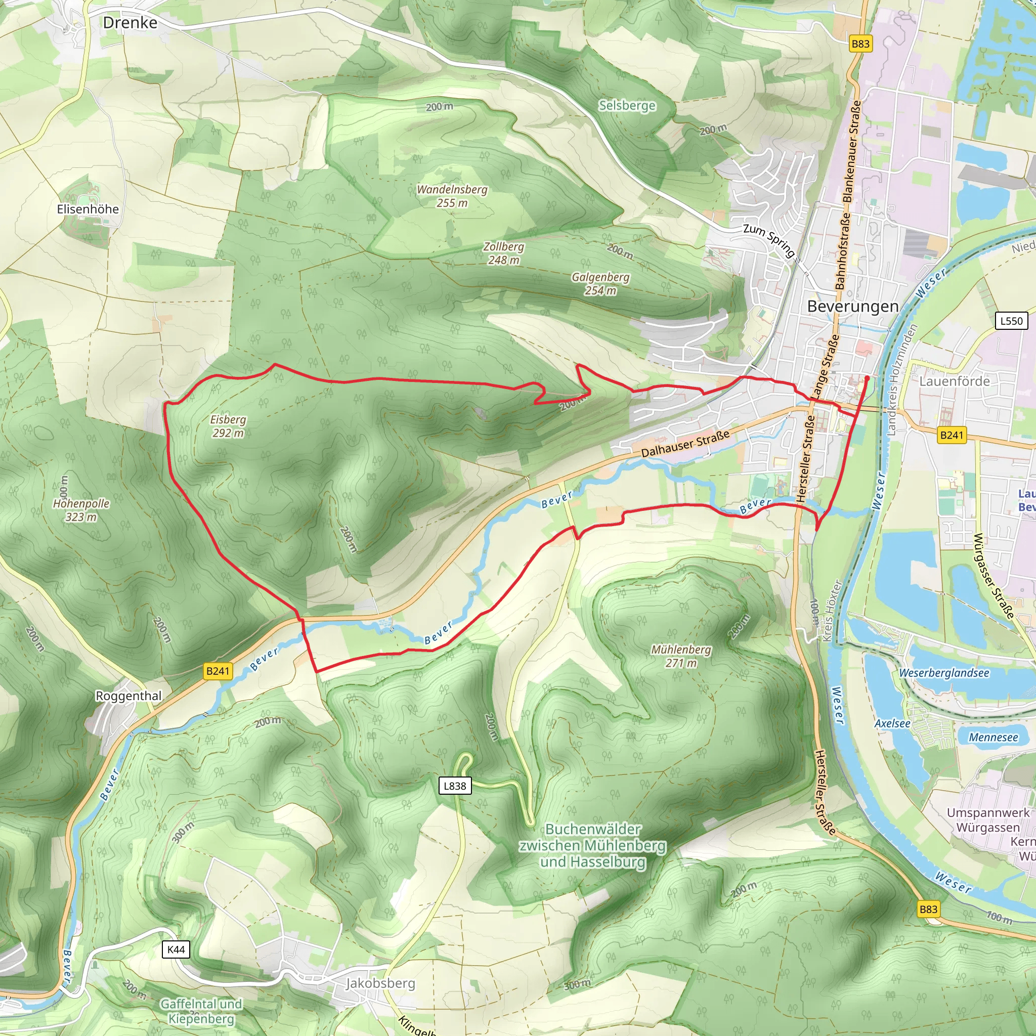
Starting near Kreis Höxter in Germany, the Beverungen and Galgenberg Eisberg Weg is a captivating loop trail that spans approximately 11 km (around 6.8 miles) with an elevation gain of about 200 meters (656 feet). This medium-difficulty trail offers a blend of natural beauty, historical landmarks, and diverse wildlife, making it a rewarding experience for hikers.
Getting There To reach the trailhead, you can either drive or use public transport. If you're driving, set your GPS to Kreis Höxter, Germany, and look for parking options near the town center. For those using public transport, take a train or bus to Höxter station. From there, local buses or a short taxi ride can get you to the trailhead.
Trail Navigation For navigation, it’s highly recommended to use the HiiKER app, which provides detailed maps and real-time updates to ensure you stay on track.
Trail Highlights
#### Initial Ascent Starting from the trailhead, the initial section involves a gentle ascent through lush forests. The first 2 km (1.2 miles) will take you through dense woodlands, where you can spot various bird species and small mammals. The elevation gain here is gradual, making it a pleasant start to your hike.
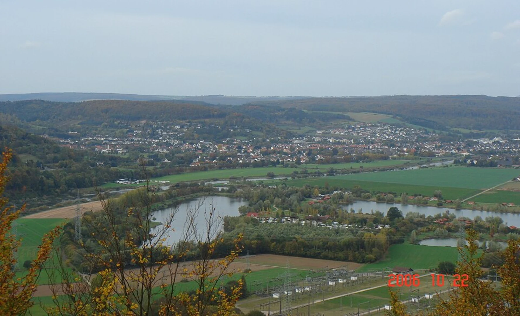
#### Galgenberg Around the 3 km (1.9 miles) mark, you’ll reach Galgenberg, a historically significant hill. This area was once used for public executions, and while it may sound grim, it offers a fascinating glimpse into the region's past. The hill provides panoramic views of the surrounding countryside, making it a perfect spot for a short break.
#### Eisberg Continuing on, the trail leads you to Eisberg, another notable elevation. This section involves a steeper climb, adding about 100 meters (328 feet) to your elevation gain over the next 2 km (1.2 miles). The effort is well worth it, as the summit offers stunning vistas of the Weser River and the rolling hills of North Rhine-Westphalia.
Flora and Fauna The trail is rich in biodiversity. Depending on the season, you might encounter wildflowers, mushrooms, and a variety of tree species such as oak, beech, and pine. Wildlife enthusiasts can look out for deer, foxes, and an array of birdlife, including woodpeckers and owls.
Historical Significance The region around Kreis Höxter is steeped in history. Besides Galgenberg, the trail passes near several ancient ruins and old farmhouses, some dating back to the medieval period. These landmarks offer a unique opportunity to delve into the local history while enjoying the natural surroundings.
Final Stretch The last 3 km (1.9 miles) of the trail loop back towards the starting point. This section is relatively flat and takes you through open meadows and along the edges of small villages. It’s a relaxing end to the hike, allowing you to cool down and reflect on the journey.
Practical Tips - **Footwear:** Sturdy hiking boots are recommended due to the varied terrain. - **Weather:** Check the weather forecast before you go, as conditions can change rapidly. - **Supplies:** Carry enough water and snacks, as there are limited facilities along the trail. - **Safety:** Always inform someone of your hiking plans and estimated return time.
This trail offers a balanced mix of natural beauty, historical intrigue, and moderate physical challenge, making it an excellent choice for hikers looking to explore the scenic and historical richness of Kreis Höxter.
What to expect?
Activity types
Comments and Reviews
User comments, reviews and discussions about the Beverungen and Galgenberg Eisberg Weg, Germany.
average rating out of 5
0 rating(s)

