Download
Preview
Add to list
More
7.7 km
~1 hrs 36 min
45 m
Loop
“The Rundweg A8 Schaagbachtal is a picturesque 8 km loop trail in Kreis Heinsberg, ideal for moderate hikers.”
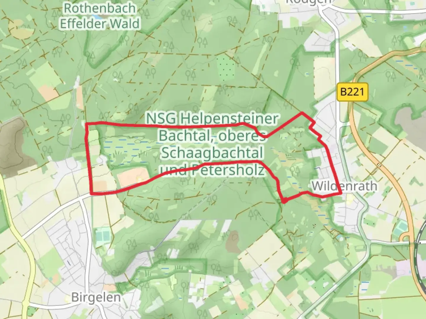
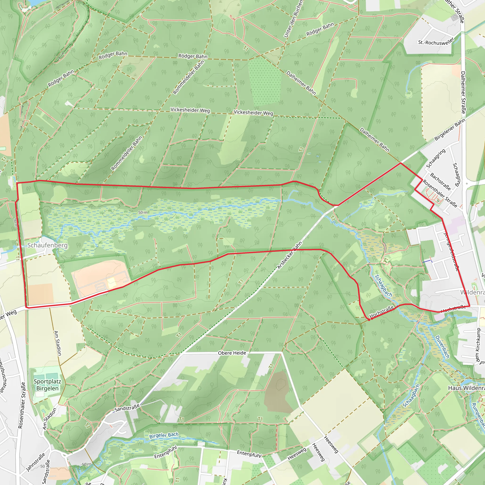
Starting near Kreis Heinsberg, Germany, the Rundweg A8 Schaagbachtal is an 8 km (approximately 5 miles) loop trail with no significant elevation gain, making it accessible for a wide range of hikers. The trail is estimated to be of medium difficulty, suitable for those with some hiking experience.
Getting There To reach the trailhead, you can drive or use public transport. If driving, set your GPS to Kreis Heinsberg, Germany. For those using public transport, the nearest major town is Heinsberg, which is well-connected by train and bus services. From Heinsberg, you can take a local bus or taxi to the trailhead.
Trail Overview The Rundweg A8 Schaagbachtal offers a serene hiking experience through the picturesque Schaagbachtal valley. The trail is well-marked and maintained, making navigation straightforward. For additional navigation support, consider using the HiiKER app, which provides detailed maps and real-time updates.
Key Landmarks and Points of Interest - **Schaagbachtal Valley**: The trail meanders through the lush Schaagbachtal valley, offering stunning views of the surrounding countryside. The valley is rich in flora and fauna, making it a great spot for nature enthusiasts. - **Historic Sites**: Along the trail, you will encounter several historical landmarks, including remnants of old mills and farmhouses that date back several centuries. These sites offer a glimpse into the region's agricultural past. - **Wildlife**: The area is home to a variety of wildlife, including deer, foxes, and numerous bird species. Early morning or late afternoon hikes increase your chances of spotting these animals. - **Flora**: The trail is lined with a diverse range of plant species, from wildflowers in the spring to vibrant autumn foliage. The Schaagbachtal valley is particularly known for its beech and oak trees.
Trail Sections - **Initial Stretch (0-2 km / 0-1.2 miles)**: The trail starts with a gentle walk through open fields and meadows. This section is relatively flat and easy, making it a good warm-up. - **Midway Point (2-5 km / 1.2-3.1 miles)**: As you progress, the trail enters denser woodland areas. Here, the path becomes slightly more challenging with uneven terrain and occasional roots and rocks. Keep an eye out for the historical mill ruins around the 4 km (2.5 miles) mark. - **Final Stretch (5-8 km / 3.1-5 miles)**: The last section of the trail loops back towards the starting point, passing through a mix of open fields and wooded areas. This part of the trail is relatively flat and offers beautiful views of the Schaagbachtal valley.
Preparation Tips - **Footwear**: Given the varied terrain, sturdy hiking boots are recommended. - **Weather**: Check the weather forecast before heading out. The trail can become muddy after rain, so waterproof gear might be necessary. - **Supplies**: Bring enough water and snacks, as there are no facilities along the trail. A small first-aid kit is also advisable. - **Navigation**: While the trail is well-marked, having the HiiKER app on your phone can provide additional peace of mind.
Safety and Etiquette - **Stay on the Trail**: To protect the local ecosystem and avoid getting lost, always stay on the marked path. - **Wildlife**: If you encounter wildlife, observe from a distance and do not attempt to feed or approach the animals. - **Leave No Trace**: Carry out all trash and leave the trail as you found it to preserve its natural beauty for future hikers.
The Rundweg A8 Schaagbachtal offers a delightful mix of natural beauty and historical intrigue, making it a rewarding hike for those looking to explore the scenic landscapes of Kreis Heinsberg.
Comments and Reviews
User comments, reviews and discussions about the Rundweg A8 Schaagbachtal, Germany.
4.86
average rating out of 5
7 rating(s)
