Download
Preview
Add to list
More
13.8 km
~3 hrs 21 min
361 m
Loop
“Explore Eifel's beauty, history, and wildlife on this rewarding 14 km loop near Kreis Euskirchen.”
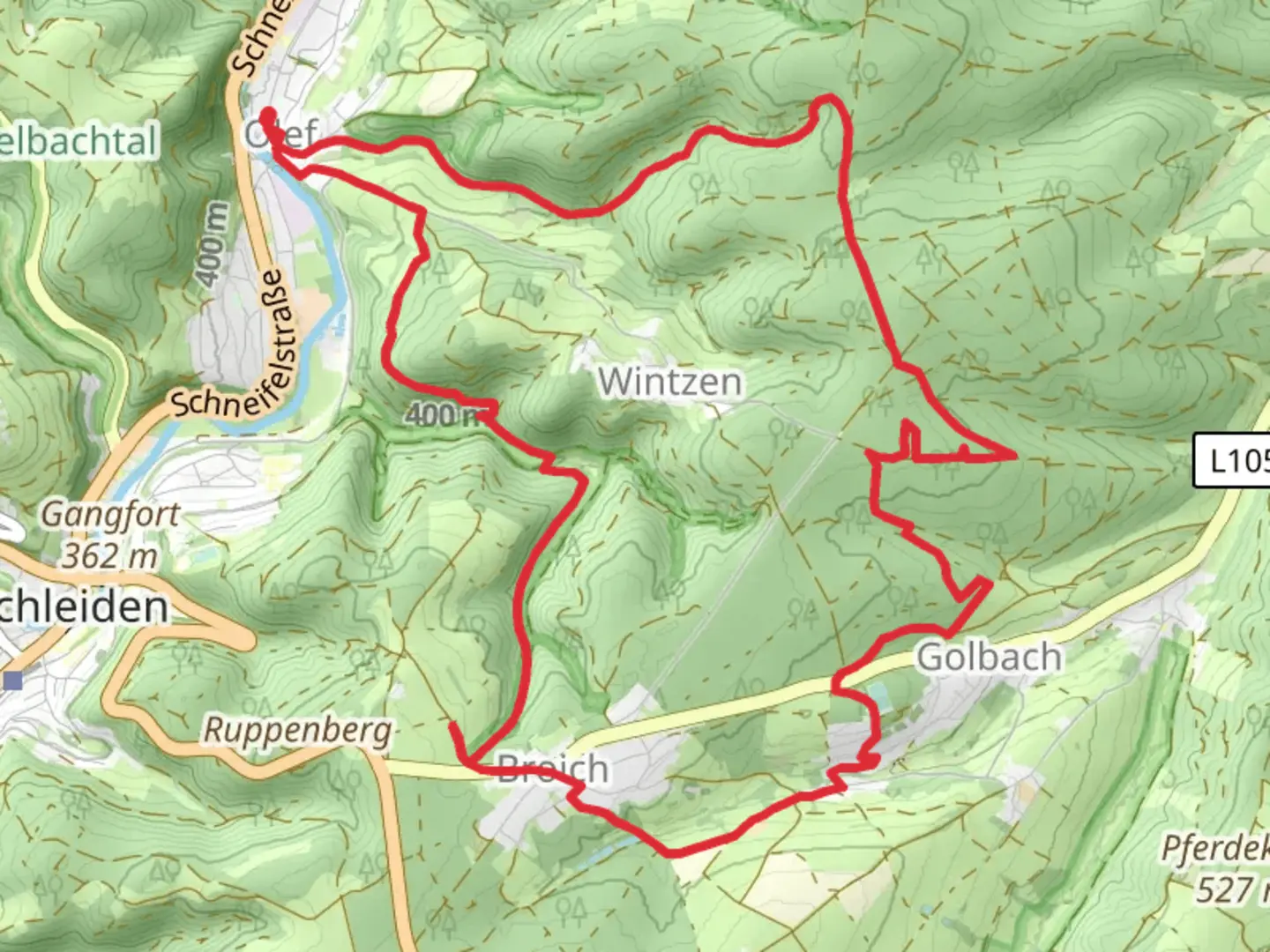
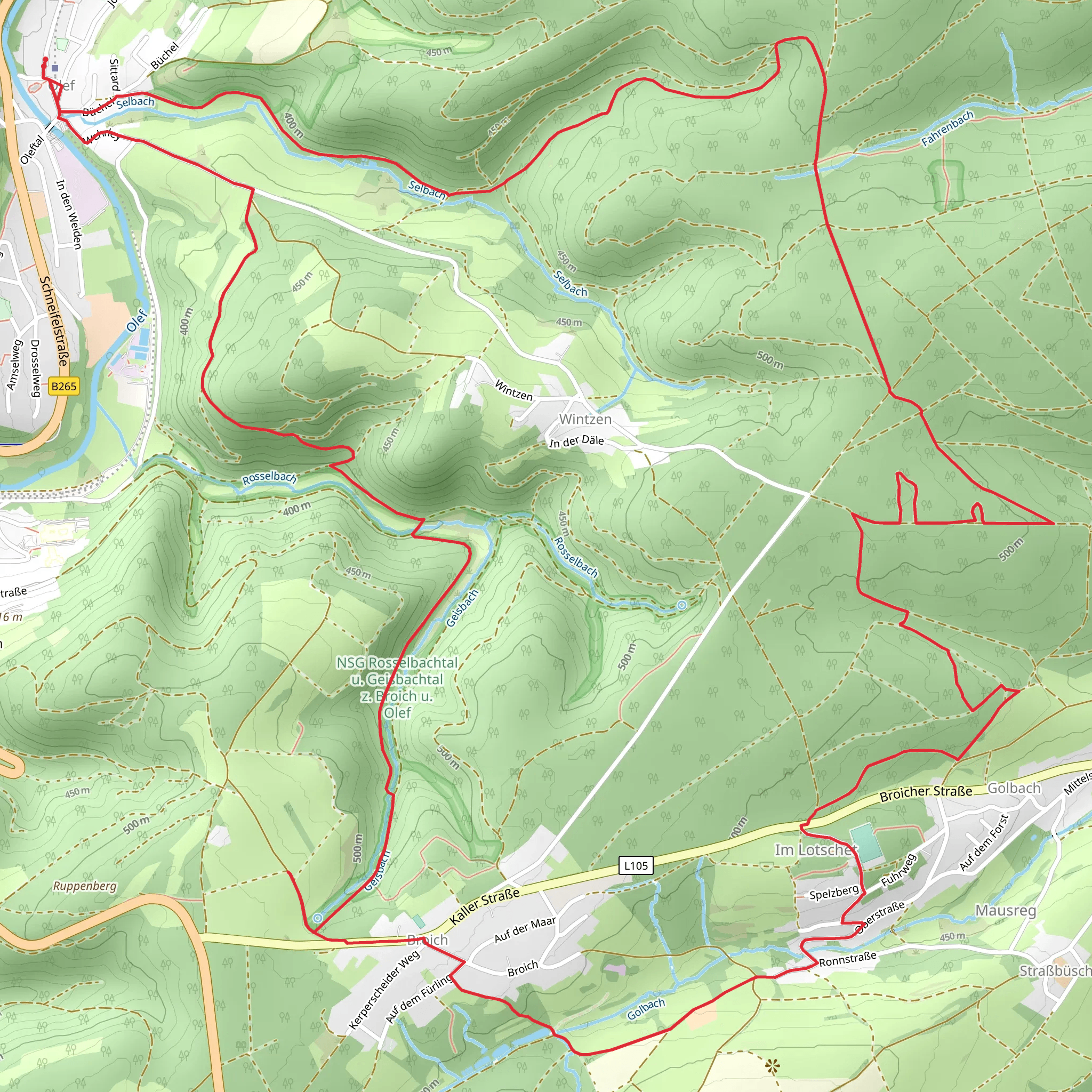
Starting near Kreis Euskirchen, Germany, the Wichelsberg and Broich via Eifelsteig trail is a captivating 14 km (approximately 8.7 miles) loop with an elevation gain of around 300 meters (about 984 feet). This medium-difficulty trail offers a blend of natural beauty, historical landmarks, and diverse wildlife, making it a rewarding experience for hikers.### Getting There To reach the trailhead, you can drive or use public transport. If driving, set your GPS to Kreis Euskirchen, Germany. For those using public transport, take a train to Euskirchen station and then a local bus to the nearest stop, which is within walking distance of the trailhead.### Trail Overview The trail begins near Kreis Euskirchen and quickly immerses you in the lush landscapes of the Eifel region. The initial section is relatively flat, allowing you to warm up before the more challenging parts of the hike.### Key Landmarks and Sections#### Wichelsberg Approximately 4 km (2.5 miles) into the hike, you'll reach Wichelsberg. This area is known for its panoramic views of the surrounding countryside. The elevation gain here is gradual, making it a perfect spot to take a break and enjoy the scenery.#### Broich Continuing on, you'll head towards Broich, which is about 7 km (4.3 miles) from the start. This section of the trail is slightly more challenging, with a steeper incline. Broich is rich in history, featuring remnants of ancient settlements and old farmhouses that tell the story of the region's past.### Nature and Wildlife The Eifel region is a biodiversity hotspot. As you hike, keep an eye out for native wildlife such as deer, foxes, and a variety of bird species. The trail also passes through dense forests and open meadows, offering a diverse range of flora, including wildflowers and ancient trees.### Historical Significance The Eifel region has a rich history dating back to Roman times. Along the trail, you'll encounter historical markers and information boards that provide insights into the area's past. The remnants of old Roman roads and medieval structures add a layer of historical intrigue to your hike.### Navigation For navigation, it's highly recommended to use the HiiKER app, which provides detailed maps and real-time updates to ensure you stay on track. The trail is well-marked, but having a reliable navigation tool can enhance your hiking experience.### Final Stretch The last 3 km (1.9 miles) of the trail loop back towards the starting point near Kreis Euskirchen. This section is relatively easy, allowing you to cool down as you complete your hike. The trail ends where it began, making it convenient for those who parked their cars or need to catch public transport back home.This trail offers a perfect blend of natural beauty, historical landmarks, and moderate physical challenge, making it an ideal choice for hikers looking to explore the Eifel region.
What to expect?
Activity types
Comments and Reviews
User comments, reviews and discussions about the Wichelsberg and Broich via Eifelsteig, Germany.
4.0
average rating out of 5
1 rating(s)
