Roemerkanal Wanderweg and Roemerkanal Aufsxhluss via Vussem Rundweg
Download
Preview
Add to list
More
9.2 km
~2 hrs 16 min
259 m
Loop
“Explore the scenic and historic Roemerkanal Wanderweg, a 9 km moderate loop trail near Vussem, Germany.”
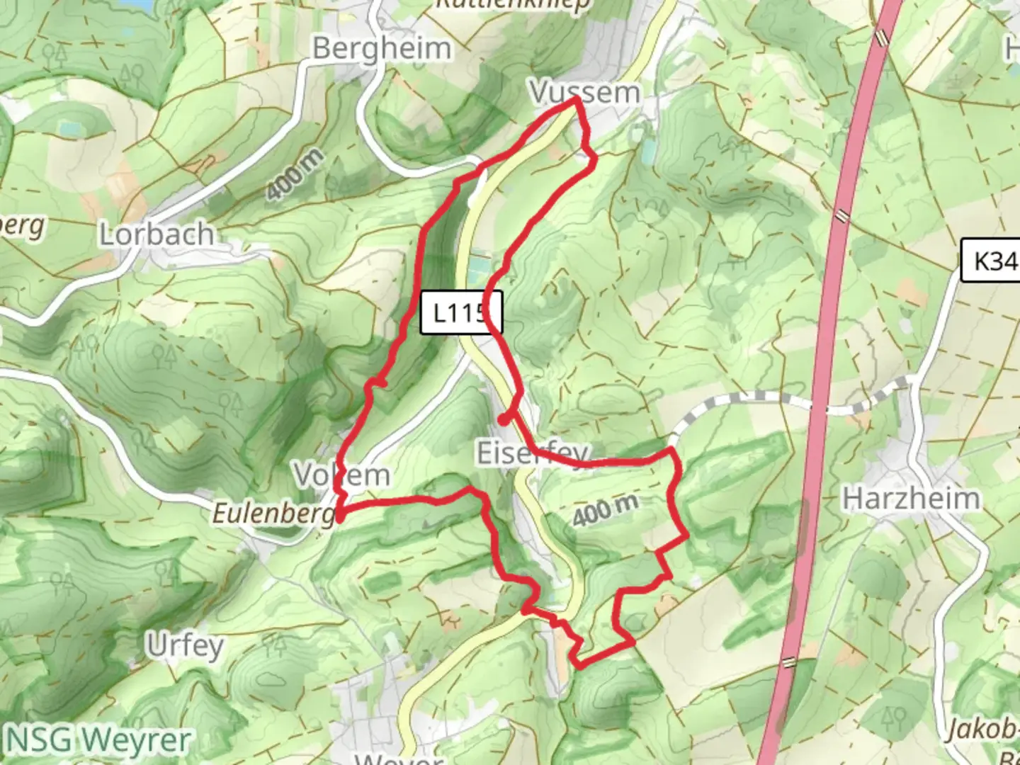
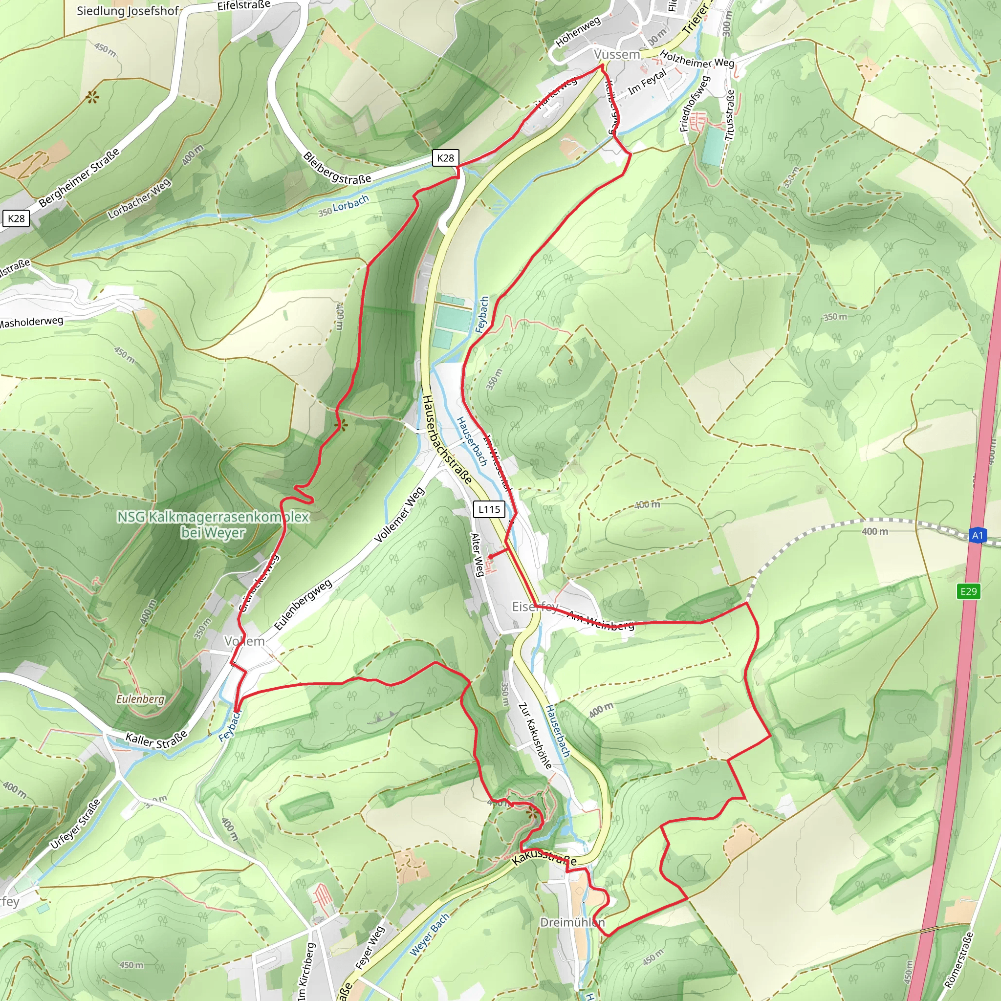
Starting near Kreis Euskirchen, Germany, the Roemerkanal Wanderweg and Roemerkanal Aufschluss via Vussem Rundweg is a captivating 9 km (approximately 5.6 miles) loop trail with an elevation gain of around 200 meters (656 feet). This trail is rated as medium difficulty, making it suitable for hikers with a moderate level of fitness.
Getting There To reach the trailhead, you can drive or use public transport. If driving, set your GPS to Kreis Euskirchen, Germany. For those using public transport, take a train to Euskirchen station and then a local bus to Vussem. The trailhead is conveniently located near the village of Vussem, making it easily accessible.
Trail Highlights The trail offers a blend of natural beauty and historical intrigue. As you embark on this journey, you'll traverse through lush forests, open meadows, and rolling hills, providing a diverse landscape that keeps the hike engaging.
#### Historical Significance One of the most fascinating aspects of this trail is its historical significance. The Roemerkanal, or Roman Canal, is an ancient aqueduct system that dates back to Roman times. This aqueduct once supplied water to the Roman city of Colonia Claudia Ara Agrippinensium, now known as Cologne. Along the trail, you'll encounter several well-preserved sections of this ancient engineering marvel. These remnants offer a glimpse into the ingenuity of Roman engineering and their ability to manipulate natural resources to sustain large urban populations.
Key Landmarks - **Roemerkanal Aufschluss**: Approximately 2 km (1.2 miles) into the hike, you'll come across the Roemerkanal Aufschluss, a significant excavation site where you can see the aqueduct in detail. Information boards provide context and historical background, making it a great spot to pause and appreciate the ancient craftsmanship. - **Vussem Village**: As you loop back towards the starting point, you'll pass through the charming village of Vussem. This quaint village is a perfect place to take a short break, perhaps at a local café, and soak in the local culture.
Nature and Wildlife The trail is rich in biodiversity. As you hike, keep an eye out for various bird species, including woodpeckers and songbirds. The forested sections are home to deer and foxes, while the meadows often host a variety of wildflowers, especially in the spring and summer months. The changing elevation and diverse habitats make this trail a haven for nature enthusiasts.
Navigation To ensure you stay on track, it's advisable to use the HiiKER app, which provides detailed maps and real-time navigation assistance. The trail is well-marked, but having a reliable navigation tool can enhance your hiking experience and provide peace of mind.
Elevation Profile The trail's elevation gain of 200 meters (656 feet) is spread out over the 9 km (5.6 miles), making for a steady but manageable climb. The most significant ascent occurs in the first half of the hike, with a gradual descent as you loop back towards Vussem.
Preparation Tips - **Footwear**: Wear sturdy hiking boots with good ankle support, as the trail can be uneven in places. - **Weather**: Check the weather forecast before you go. The trail can be muddy after rain, so waterproof gear might be necessary. - **Supplies**: Carry enough water and snacks, especially if you plan to take your time exploring the historical sites. - **Safety**: Inform someone of your hiking plans and estimated return time.
This trail offers a perfect blend of natural beauty, historical intrigue, and moderate physical challenge, making it a rewarding experience for any hiker.
What to expect?
Activity types
Comments and Reviews
User comments, reviews and discussions about the Roemerkanal Wanderweg and Roemerkanal Aufsxhluss via Vussem Rundweg, Germany.
5.0
average rating out of 5
2 rating(s)
