Download
Preview
Add to list
More
11.2 km
~2 hrs 34 min
203 m
Loop
“Explore the Almweg Loop: a captivating 11 km trail blending natural beauty and historical intrigue.”
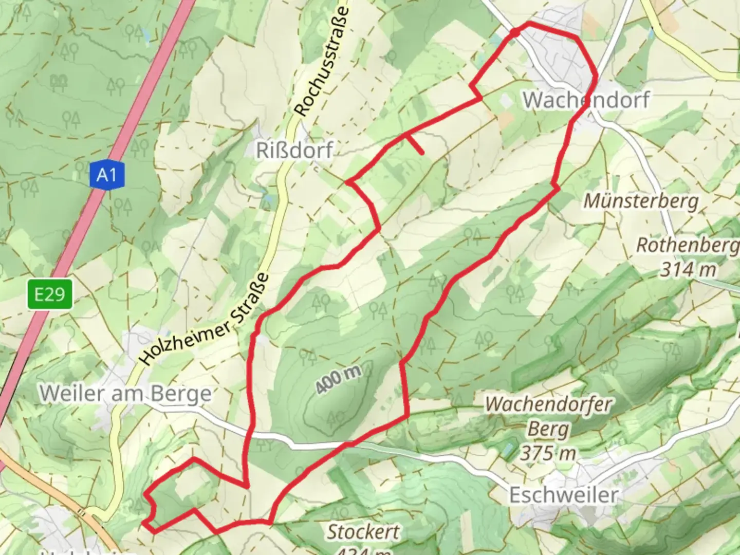
Starting near Kreis Euskirchen, Germany, the Almweg Loop is a captivating 11 km (approximately 6.8 miles) trail with an elevation gain of around 200 meters (656 feet). This loop trail is rated medium in difficulty, making it suitable for moderately experienced hikers.### Getting There To reach the trailhead, you can drive or use public transportation. If you're driving, set your GPS to the town of Bad Münstereifel, which is the nearest significant landmark. From there, follow local signage to the trailhead. For those using public transport, take a train to Bad Münstereifel station. From the station, local buses or a short taxi ride can get you to the starting point.### Trail Overview The Almweg Loop offers a diverse hiking experience, weaving through dense forests, open meadows, and along serene streams. The trail is well-marked, but it's advisable to use the HiiKER app for navigation to ensure you stay on track.### Key Sections and Landmarks - 0-2 km (0-1.2 miles): The trail begins with a gentle ascent through a mixed forest. This section is relatively easy and serves as a good warm-up. Keep an eye out for various bird species and small mammals that inhabit the area.
- 2-4 km (1.2-2.5 miles): As you continue, the trail opens up into a meadow. This is a great spot to take a break and enjoy the panoramic views of the surrounding Eifel region. The elevation gain here is gradual, making it a pleasant stretch.- 4-6 km (2.5-3.7 miles): The trail then descends slightly and follows a picturesque stream. This section is particularly beautiful in the spring and early summer when wildflowers are in full bloom. Be cautious of slippery rocks near the water.- 6-8 km (3.7-5 miles): You'll encounter a more challenging ascent as you move back into the forest. This part of the trail is steeper and requires more effort, but the lush greenery and occasional wildlife sightings make it worthwhile.- 8-11 km (5-6.8 miles): The final stretch of the loop takes you through a historical section where you can see remnants of old stone walls and possibly even ancient Roman artifacts. This area is rich in history, as the Eifel region has been inhabited since Roman times.### Flora and Fauna The Almweg Loop is home to a variety of plant and animal species. In the forested areas, you'll find oak, beech, and pine trees. The meadows are filled with wildflowers, especially in the warmer months. Wildlife includes deer, foxes, and a variety of bird species, making it a great trail for nature enthusiasts.### Historical Significance The Eifel region, where the Almweg Loop is located, has a rich history dating back to Roman times. The remnants of ancient stone walls and artifacts you may encounter are a testament to the area's long-standing historical significance. This adds an educational element to your hike, making it not just a physical but also a cultural journey.### Final Tips
- Footwear: Wear sturdy hiking boots, especially for the steeper sections.
- Weather: Check the weather forecast before you go, as conditions can change rapidly.
- Supplies: Bring enough water and snacks, as there are no facilities along the trail.
- Navigation: Use the HiiKER app to stay on course and get real-time updates.Enjoy your hike on the Almweg Loop, a trail that offers a perfect blend of natural beauty and historical intrigue.

What to expect?
Activity types
Comments and Reviews
User comments, reviews and discussions about the Almweg Loop, Germany.
4.25
average rating out of 5
4 rating(s)