Download
Preview
Add to list
More
13.2 km
~3 hrs 4 min
265 m
Loop
“The Rur Reservoir via Schilsbachstraße trail is a scenic 13 km loop with nature, history, and wildlife.”
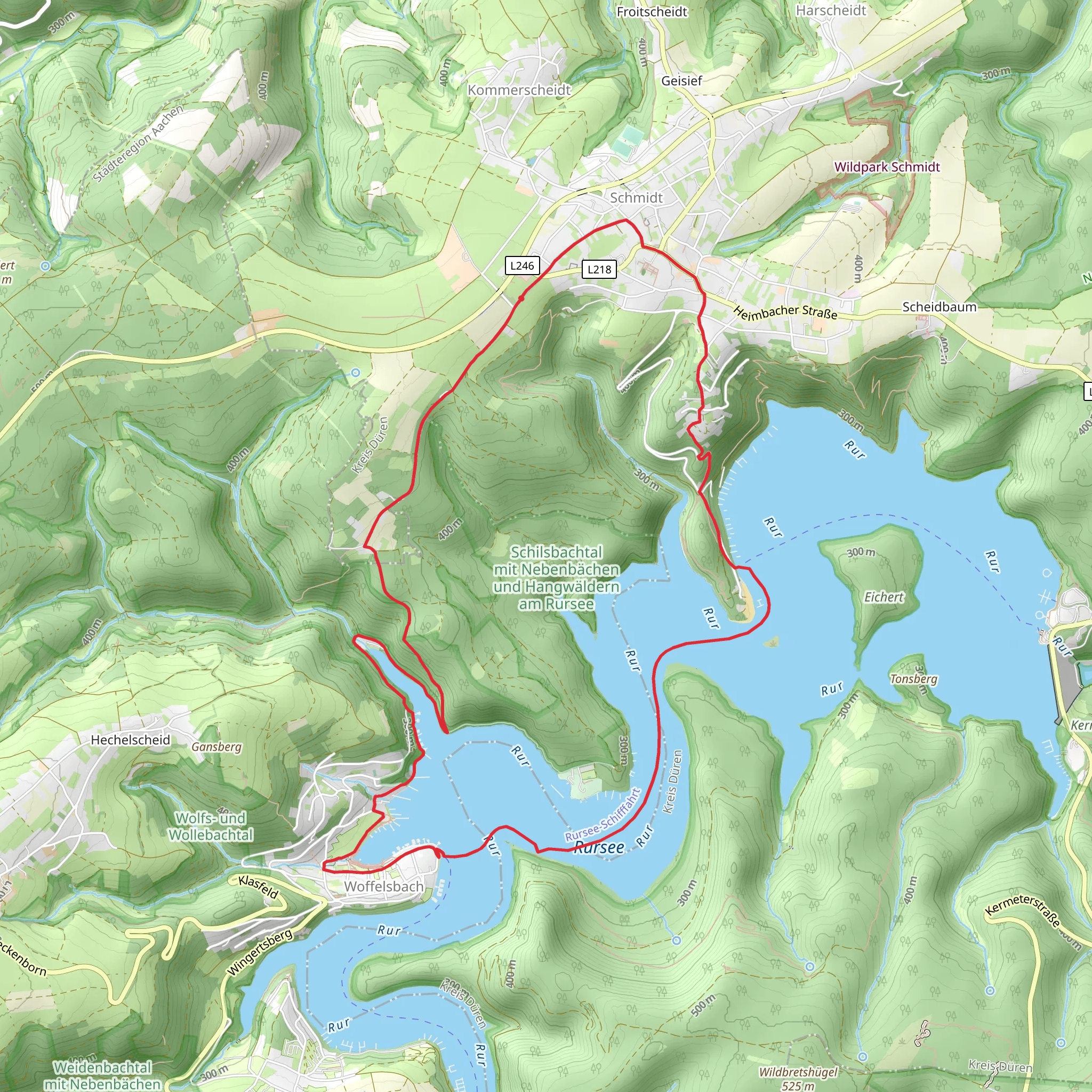
Starting near Kreis Düren, Germany, the Rur Reservoir via Schilsbachstraße trail is a scenic 13 km (8 miles) loop with an elevation gain of approximately 200 meters (656 feet). This medium-difficulty hike offers a blend of natural beauty, historical landmarks, and opportunities for wildlife spotting.
Getting There To reach the trailhead, you can drive or use public transport. If driving, set your GPS to Kreis Düren, Germany, and follow the signs to Schilsbachstraße. For public transport, take a train to Düren Station and then a local bus towards Heimbach, getting off at the Schilsbachstraße stop. From there, it's a short walk to the trailhead.
Trail Overview The trail begins with a gentle ascent through a mixed forest, where you'll be surrounded by towering beech and oak trees. This initial section is relatively easy, making it a good warm-up for the more challenging parts ahead. As you hike, keep an eye out for local wildlife such as deer, foxes, and a variety of bird species.
Significant Landmarks Around the 3 km (1.9 miles) mark, you'll come across the first significant landmark: the ruins of an old mill. This site offers a glimpse into the region's historical past, where mills were once vital for local agriculture and industry. Take a moment to explore the ruins and imagine the bustling activity that once took place here.
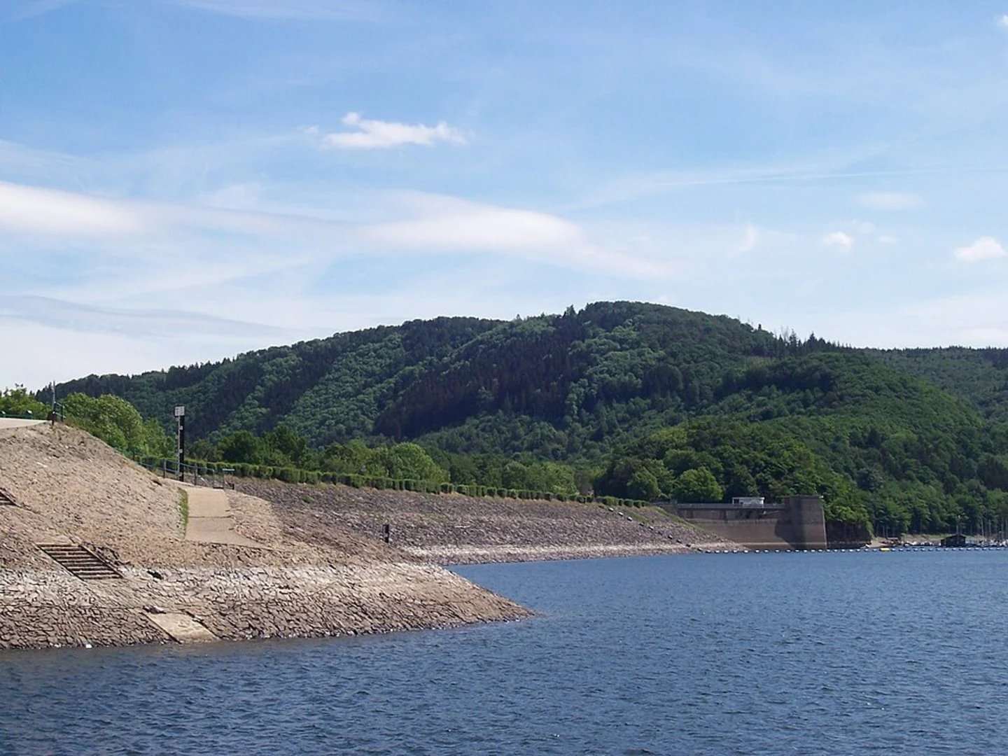
Continuing on, you'll reach the Rur Reservoir at approximately 6 km (3.7 miles). This is the highlight of the trail, offering stunning views of the water and surrounding hills. The reservoir is a popular spot for birdwatching, so bring your binoculars if you're interested in spotting species like the great crested grebe or the Eurasian coot.
Elevation and Terrain The trail features a mix of terrains, including forest paths, gravel roads, and some rocky sections. The most challenging part of the hike comes around the 8 km (5 miles) mark, where you'll encounter a steeper ascent. This section gains about 100 meters (328 feet) in elevation over a short distance, so take your time and enjoy the views as you climb.
Navigation For navigation, it's highly recommended to use the HiiKER app, which provides detailed maps and real-time GPS tracking. This will help you stay on course and ensure you don't miss any key points of interest.
Flora and Fauna As you make your way back towards the trailhead, you'll pass through a meadow area rich in wildflowers during the spring and summer months. This section is also a good spot to see butterflies and other pollinators. The diversity of plant life here is a testament to the region's well-preserved natural environment.
Historical Significance The area around the Rur Reservoir has a rich history, particularly during World War II. The reservoir was a strategic point during the Battle of the Hürtgen Forest, and remnants of bunkers and fortifications can still be found in the surrounding woods. These historical sites add an extra layer of interest to your hike, offering a poignant reminder of the past.
Final Stretch The final stretch of the trail is a gentle descent back to the starting point near Schilsbachstraße. This section is relatively easy and provides a nice cooldown after the more strenuous parts of the hike. As you approach the end, you'll pass through a small village where you can stop for refreshments or a meal before heading back.
This trail offers a well-rounded hiking experience with a mix of natural beauty, historical landmarks, and opportunities for wildlife observation. Whether you're a seasoned hiker or a casual walker, the Rur Reservoir via Schilsbachstraße trail has something to offer.
What to expect?
Activity types
Comments and Reviews
User comments, reviews and discussions about the Rur Reservoir via Schilsbachstraße, Germany.
4.33
average rating out of 5
3 rating(s)

