Download
Preview
Add to list
More
11.2 km
~2 hrs 17 min
30 m
Loop
“Discover the serene 11 km Dreiländersee Loop, rich in wetlands, wildlife, and historical significance.”
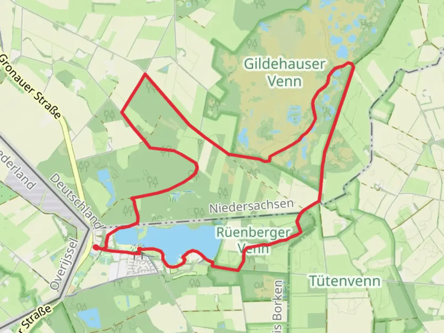
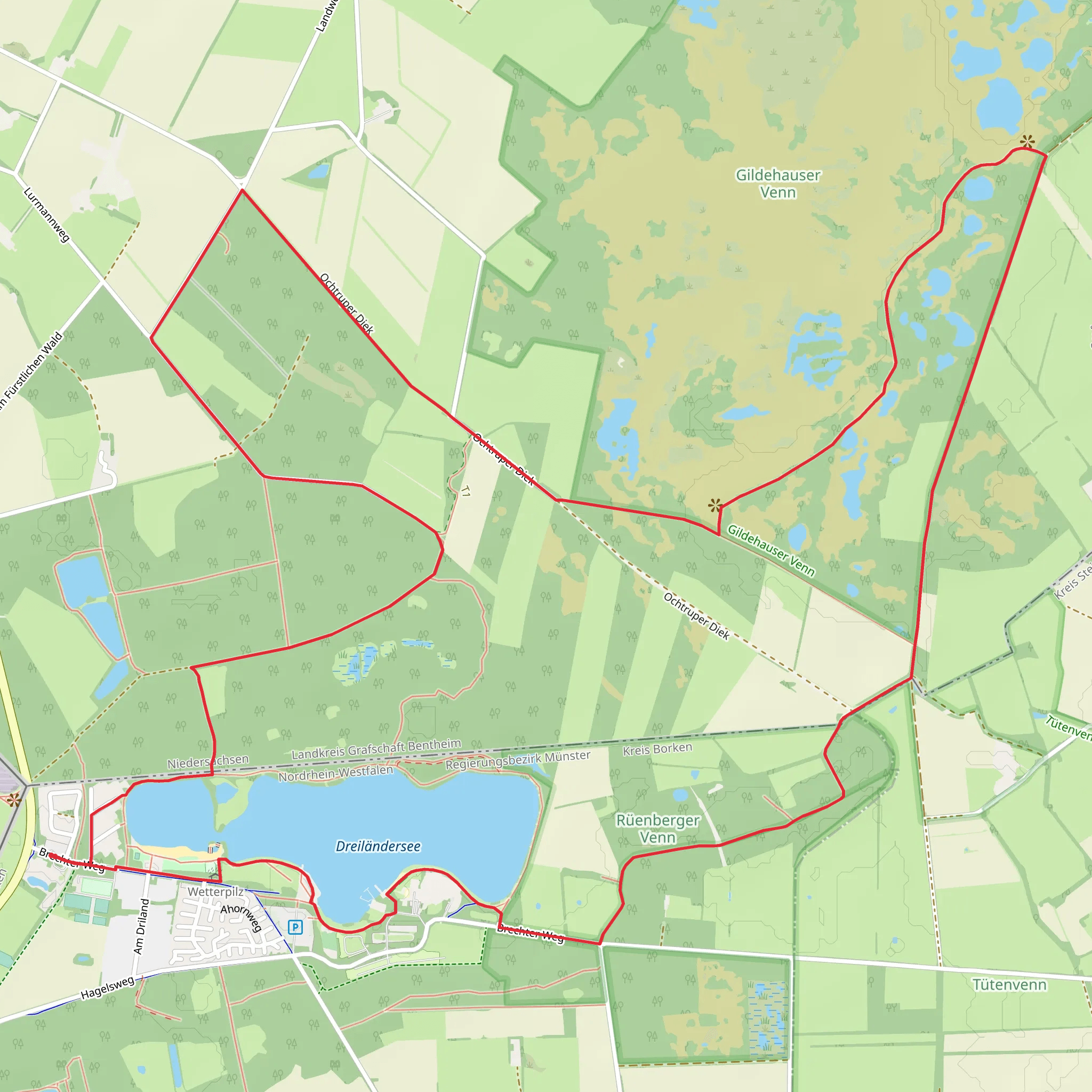
Starting near Kreis Borken, Germany, the Dreiländersee, Rueenberger Venn, and Gildehauser Venn Loop is an 11 km (approximately 6.8 miles) loop trail with no significant elevation gain, making it accessible for hikers of varying skill levels. The trailhead is conveniently located near the Dreiländersee, a picturesque lake that marks the intersection of Germany, the Netherlands, and Belgium.
Getting There To reach the trailhead, you can drive to Kreis Borken, where parking is available near the Dreiländersee. For those using public transport, the nearest significant landmark is the town of Gronau, which is well-connected by train. From Gronau, local buses can take you closer to the trailhead, or you can opt for a short taxi ride.
Trail Navigation Using HiiKER for navigation is highly recommended to ensure you stay on track. The trail is well-marked, but having a reliable navigation tool will enhance your hiking experience.
Key Sections and Landmarks
#### Dreiländersee Starting at the Dreiländersee, you'll be greeted by serene waters and lush greenery. This lake is a popular spot for locals and tourists alike, offering opportunities for bird-watching and picnicking. The area is rich in birdlife, so keep an eye out for species like the Great Crested Grebe and various types of ducks.
#### Rueenberger Venn As you proceed, you'll enter the Rueenberger Venn, a unique wetland area. This section of the trail is characterized by its marshy terrain and diverse flora. Wooden boardwalks help you navigate through the wetlands, providing a safe and dry path. The Rueenberger Venn is home to a variety of plant species, including rare orchids and carnivorous plants like the Sundew.
#### Gildehauser Venn Continuing on, you'll reach the Gildehauser Venn, another significant wetland area. This section is slightly more wooded, offering a mix of open marshland and forested areas. The Gildehauser Venn is a haven for wildlife, including deer, foxes, and numerous bird species. It's a great spot for nature photography, so bring your camera.
Historical Significance The region around the Dreiländersee has a rich history, particularly due to its location at the crossroads of three countries. Historically, this area has been a point of cultural exchange and trade. The wetlands themselves have been preserved due to their ecological importance, and they offer a glimpse into the natural history of the region.
Practical Information The trail is relatively flat, with an elevation gain of 0 meters (0 feet), making it suitable for families and casual hikers. However, the wetland areas can be muddy, so waterproof footwear is advisable. There are several rest areas along the trail where you can take a break and enjoy the scenery.
Wildlife and Flora The trail offers a rich tapestry of wildlife and flora. In addition to the bird species mentioned earlier, you might encounter amphibians like frogs and newts in the wetter sections. The flora is equally diverse, with everything from towering trees to delicate wildflowers.
Final Stretch As you loop back towards the Dreiländersee, you'll pass through a mix of open fields and wooded areas. This final stretch offers a peaceful end to your hike, with the opportunity to reflect on the diverse landscapes you've traversed.
This 11 km loop trail offers a unique blend of natural beauty, historical significance, and diverse ecosystems, making it a rewarding experience for any hiker.
What to expect?
Activity types
Comments and Reviews
User comments, reviews and discussions about the Dreiländersee, Rueenberger Venn and Gildehauser Venn Loop, Germany.
4.67
average rating out of 5
3 rating(s)
