Download
Preview
Add to list
More
11.1 km
~2 hrs 32 min
200 m
Loop
“Explore lush forests, historical ruins, and blooming meadows on the scenic 11 km Laudenbacher Weg Loop.”
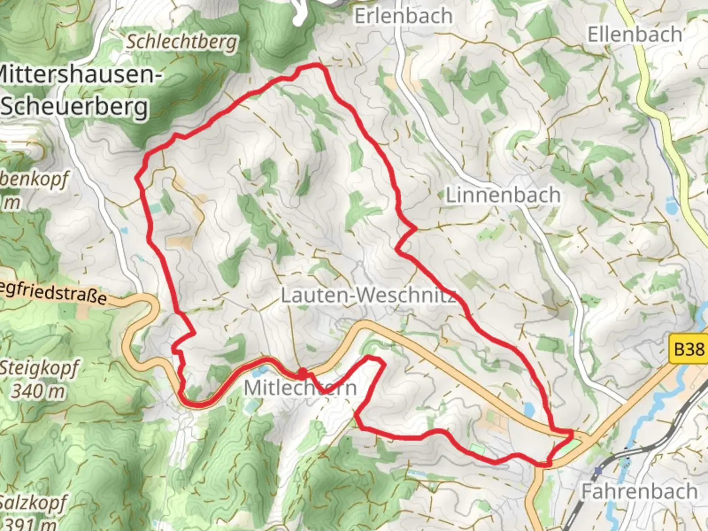
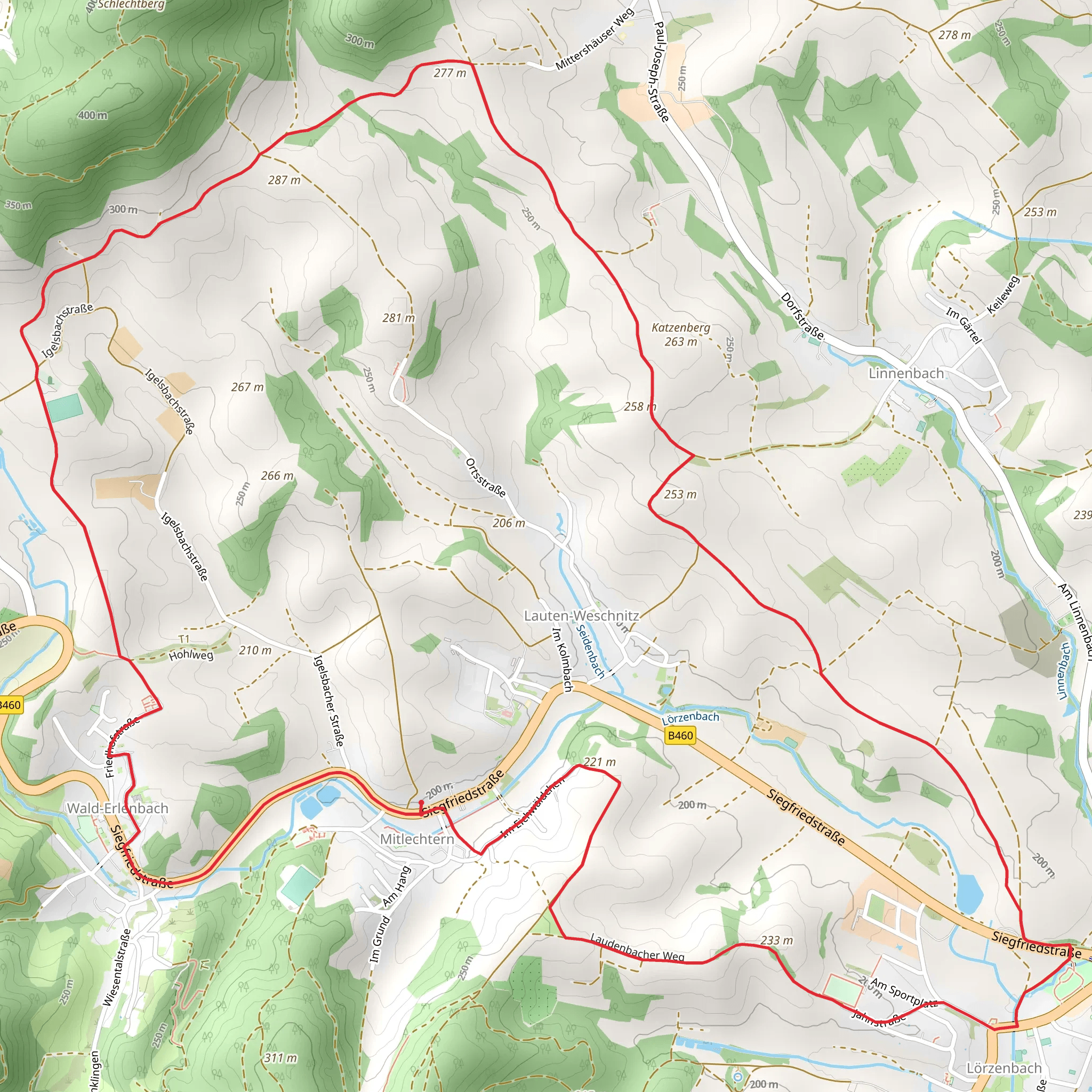
Starting near Kreis Bergstraße in Germany, the Laudenbacher Weg and Ober Ramstadt Wiesenbach Loop is a scenic 11 km (approximately 6.8 miles) trail with an elevation gain of around 200 meters (656 feet). This loop trail is rated as medium difficulty, making it suitable for moderately experienced hikers.
Getting There To reach the trailhead, you can drive or use public transport. If driving, set your GPS to Kreis Bergstraße, Germany, and look for parking options near the trailhead. For those using public transport, the nearest significant landmark is the Bensheim train station. From there, you can take a local bus or taxi to the trailhead.
Trail Overview The trail begins with a gentle ascent through lush forests, offering a serene start to your hike. As you progress, you'll encounter a mix of forested paths and open meadows, providing a variety of landscapes to enjoy. The initial 3 km (1.86 miles) will take you through dense woodland, where you might spot local wildlife such as deer and various bird species.
Historical Significance This region is rich in history, with several landmarks that date back to medieval times. Around the 4 km (2.5 miles) mark, you'll come across the ruins of an old watchtower, a remnant from the days when this area was a strategic point for local lords. Take a moment to explore and imagine the historical significance of this site.
Mid-Trail Highlights As you reach the halfway point, the trail opens up into expansive meadows. This section, known as Ober Ramstadt Wiesenbach, is particularly beautiful in spring and summer when wildflowers are in full bloom. The elevation gain here is gradual, making it a pleasant stretch to enjoy the scenery. Keep an eye out for the Wiesenbach stream, which meanders through this area and provides a peaceful backdrop for a rest stop.
Navigation and Safety Navigating this trail is straightforward, but it's always wise to have a reliable navigation tool. HiiKER is an excellent app for this purpose, offering detailed maps and real-time tracking to ensure you stay on course. The trail is well-marked, but having HiiKER as a backup can provide extra peace of mind.
Final Stretch The last 3 km (1.86 miles) of the trail take you back into the forest, with a gentle descent leading you back to the trailhead. This section is shaded and cool, making it a comfortable end to your hike. As you near the end, you'll pass by a small pond, a perfect spot for a final rest and reflection on your journey.
Flora and Fauna Throughout the hike, you'll encounter a diverse range of flora and fauna. The forested areas are home to oak, beech, and pine trees, while the meadows boast a variety of wildflowers. Wildlife is abundant, with opportunities to see deer, foxes, and a variety of bird species, including woodpeckers and songbirds.
This trail offers a balanced mix of natural beauty, historical landmarks, and moderate physical challenge, making it a rewarding experience for any hiker.
What to expect?
Activity types
Comments and Reviews
User comments, reviews and discussions about the Laudenbacher Weg and Ober Ramstadt Wiesenbach Loop, Germany.
5.0
average rating out of 5
1 rating(s)
