Download
Preview
Add to list
More
7.3 km
~1 hrs 56 min
286 m
Loop
“Explore Krötenbrunnen Weg's 7 km loop of lush forests, historical landmarks, and panoramic countryside views.”
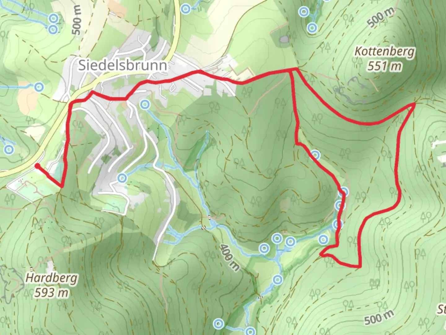
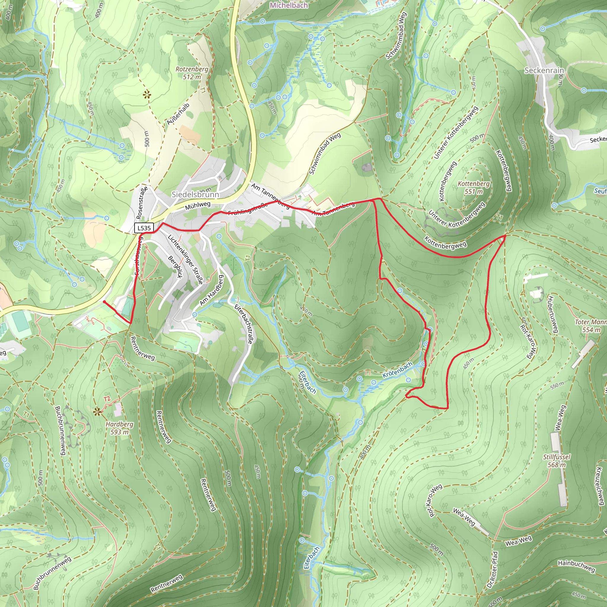
Starting near Kreis Bergstraße, Germany, the Krötenbrunnen Weg is a delightful 7 km (4.35 miles) loop trail with an elevation gain of approximately 200 meters (656 feet). This medium-difficulty trail offers a rich blend of natural beauty, historical landmarks, and diverse wildlife, making it a rewarding experience for hikers.### Getting There To reach the trailhead, you can either drive or use public transport. If driving, set your GPS to Kreis Bergstraße, and look for parking near the trailhead. For those using public transport, take a train to Bensheim station, which is the nearest major station. From Bensheim, you can catch a local bus to the trailhead area. The bus routes and schedules can be checked on local transit websites or apps.### Trail Navigation For navigation, it is highly recommended to use the HiiKER app, which provides detailed maps and real-time updates to ensure you stay on track.### Trail Highlights#### Nature and Wildlife The trail meanders through lush forests and open meadows, offering a variety of flora and fauna. Keep an eye out for native wildlife such as deer, foxes, and a variety of bird species. The forested sections are particularly beautiful in the spring and autumn, with vibrant foliage and blooming wildflowers.#### Historical Significance One of the key highlights of the Krötenbrunnen Weg is its historical significance. The trail passes by several ancient landmarks, including remnants of old Roman roads and medieval structures. About 3 km (1.86 miles) into the hike, you will come across the ruins of a medieval watchtower, which offers a glimpse into the region's storied past.#### Scenic Views Approximately halfway through the trail, around the 3.5 km (2.17 miles) mark, you will reach a vantage point that offers panoramic views of the surrounding countryside. This spot is perfect for a short break and some photography.### Trail Conditions and Safety The trail is well-marked but can be uneven and rocky in certain sections, so sturdy hiking boots are recommended. During wet weather, some parts of the trail can become slippery, so exercise caution. There are a few steep inclines, particularly in the first 2 km (1.24 miles), where the elevation gain is most noticeable.### Facilities and Amenities There are no restrooms or water stations directly on the trail, so be sure to carry enough water and snacks. The nearest facilities are located in the small village near the trailhead, where you can also find a few local cafes and shops.### Final Stretch As you complete the loop and head back towards the trailhead, the path gradually descends, offering a gentle and relaxing end to your hike. The final 1 km (0.62 miles) is relatively flat and takes you through a picturesque meadow, perfect for reflecting on the day's adventure.By following this guide and using the HiiKER app for navigation, you will be well-prepared to enjoy the Krötenbrunnen Weg and all it has to offer.
Comments and Reviews
User comments, reviews and discussions about the Krötenbrunnen Weg, Germany.
average rating out of 5
0 rating(s)
