Download
Preview
Add to list
More
12.7 km
~3 hrs 5 min
335 m
Loop
“Immerse in Franconian beauty and history on the scenic 13 km Traumrunde Iphofen trail.”
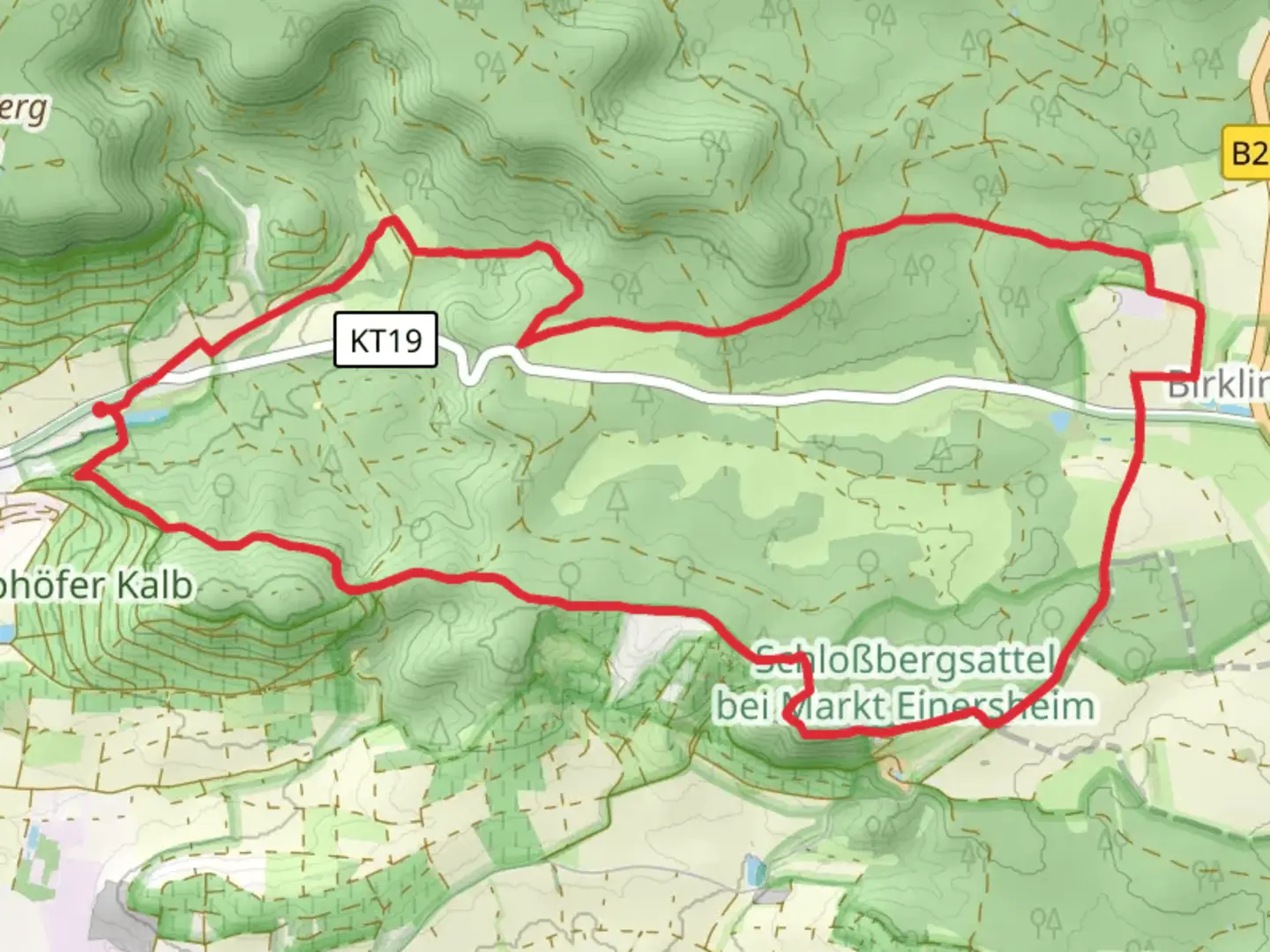
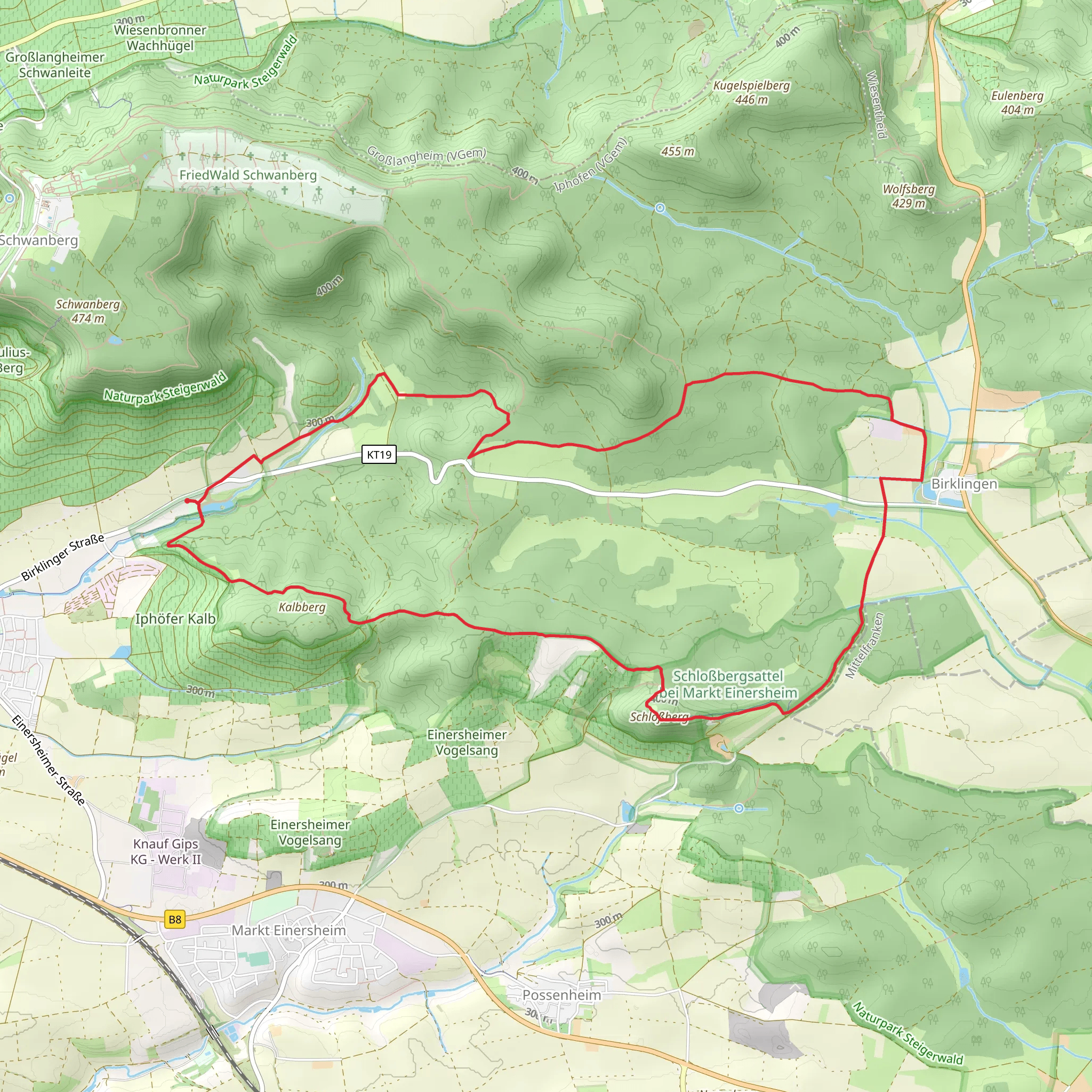
Starting near the picturesque town of Kitzingen, Germany, the Traumrunde Iphofen trail offers a delightful 13 km (8 miles) loop with an elevation gain of approximately 300 meters (984 feet). This medium-difficulty trail is perfect for those looking to immerse themselves in the natural beauty and historical richness of the Franconian region.
Getting There To reach the trailhead, you can drive to Iphofen, a charming town known for its well-preserved medieval architecture. If you're using public transport, take a train to Iphofen station, which is well-connected to major cities like Würzburg and Nuremberg. From the station, it's a short walk to the trailhead.
Trail Highlights As you embark on the trail, you'll immediately notice the lush vineyards that surround Iphofen. These vineyards are part of the Franconian wine region, renowned for its Silvaner and Müller-Thurgau grape varieties. The trail meanders through these vineyards, offering stunning views of the rolling hills and the town below.
Historical Significance Around the 3 km (1.9 miles) mark, you'll come across the Rödelseer Tor, a historic gate that dates back to the 15th century. This gate is part of the old town wall that once protected Iphofen from invaders. Take a moment to appreciate the craftsmanship and imagine the history that unfolded here.
Nature and Wildlife Continuing along the trail, you'll enter the Steigerwald Nature Park, a haven for wildlife and diverse plant species. Keep an eye out for deer, foxes, and a variety of bird species. The forested sections provide a cool respite during the warmer months and are particularly beautiful in autumn when the leaves change color.
Scenic Vistas Around the 7 km (4.3 miles) point, you'll reach the Schwanberg, a hill that offers panoramic views of the Main River valley and the surrounding countryside. This is a great spot to take a break, enjoy a picnic, and soak in the scenery. The elevation gain to this point is about 150 meters (492 feet), making it a moderate climb.
Navigation For navigation, it's highly recommended to use the HiiKER app, which provides detailed maps and real-time updates. The trail is well-marked, but having a reliable navigation tool ensures you stay on track and can explore any detours or points of interest along the way.
Final Stretch As you make your way back towards Iphofen, the trail descends gently through more vineyards and open fields. The final 3 km (1.9 miles) are relatively flat, allowing you to enjoy a leisurely walk back to the trailhead. Along the way, you'll pass by several traditional Franconian houses, adding to the charm of the experience.
This trail offers a perfect blend of natural beauty, historical landmarks, and cultural experiences, making it a must-visit for any hiking enthusiast.
Comments and Reviews
User comments, reviews and discussions about the Traumrunde Iphofen, Germany.
4.67
average rating out of 5
6 rating(s)
