Download
Preview
Add to list
More
8.2 km
~1 hrs 59 min
214 m
Loop
“"Immerse in Franconian beauty on the 8 km Traum Runde trail, blending history, nature, and scenic views."”
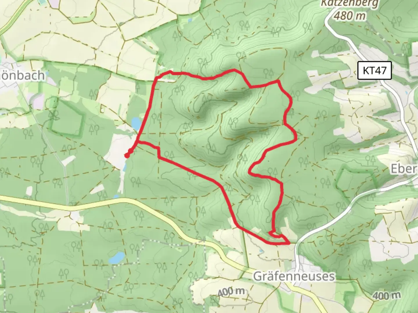
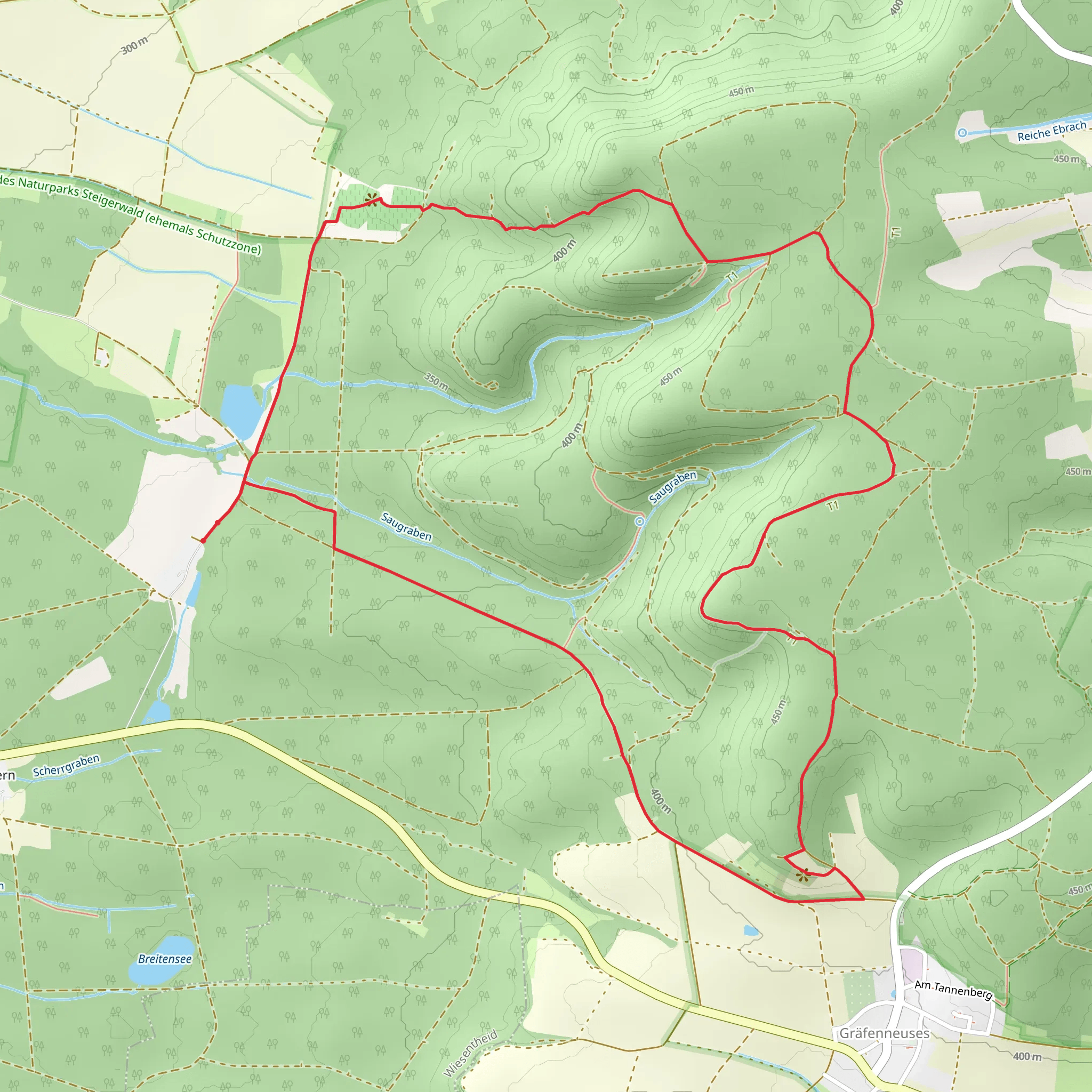
Starting near the picturesque town of Kitzingen, Germany, the Traum Runde Prichsenstadt and Geiselwind trail offers an 8 km (5 miles) loop with an elevation gain of approximately 200 meters (656 feet). This medium-difficulty trail is perfect for those looking to immerse themselves in the serene beauty of the Franconian countryside.### Getting There To reach the trailhead, you can either drive or use public transport. If driving, head towards Kitzingen and follow signs to Prichsenstadt. There is ample parking available near the trailhead. For those using public transport, take a train to Kitzingen station and then a local bus towards Prichsenstadt. The nearest significant landmark to the trailhead is the historic Prichsenstadt town center, known for its well-preserved medieval architecture.### Trail Highlights As you embark on the trail, you'll first encounter the charming town of Prichsenstadt. This town is a treasure trove of history, with its cobblestone streets, half-timbered houses, and the impressive town wall that dates back to the 14th century. Make sure to take a moment to explore the town before heading into the more natural parts of the trail.### Nature and Wildlife The trail meanders through a variety of landscapes, including dense forests, open meadows, and rolling hills. The forested sections are particularly enchanting, with tall beech and oak trees providing a canopy of shade. Keep an eye out for local wildlife such as deer, foxes, and a variety of bird species. The meadows are often dotted with wildflowers, especially in the spring and summer months, adding a splash of color to your hike.### Significant Landmarks Around the 3 km (1.86 miles) mark, you'll come across the serene Geiselwind area. This part of the trail offers panoramic views of the surrounding countryside and is a great spot for a short break. Geiselwind is also home to a small chapel that dates back to the 18th century, adding a touch of historical significance to your hike.### Elevation and Terrain The trail features a moderate elevation gain of around 200 meters (656 feet), with a few steep sections that might require a bit of effort. However, the well-maintained paths make it accessible for most hikers. The highest point of the trail offers stunning views of the Franconian landscape, making the climb well worth it.### Navigation To ensure you stay on track, it's advisable to use the HiiKER app, which provides detailed maps and real-time navigation. The trail is well-marked, but having a reliable navigation tool can enhance your hiking experience and provide peace of mind.### Historical Significance The region around Prichsenstadt and Geiselwind is steeped in history. Prichsenstadt itself was founded in the 13th century and has retained much of its medieval charm. The trail also passes by several historical landmarks, including old farmhouses and chapels, offering a glimpse into the area's rich past.### Final Stretch As you loop back towards Prichsenstadt, the trail takes you through more open fields and vineyards. This section is relatively flat and offers a relaxing end to your hike. The vineyards are particularly beautiful in the autumn when the leaves turn vibrant shades of red and gold.This trail is a delightful blend of natural beauty and historical intrigue, making it a must-visit for any hiking enthusiast exploring the Franconian region.
Comments and Reviews
User comments, reviews and discussions about the Traum Runde Prichsenstadt and Geiselwind, Germany.
4.25
average rating out of 5
4 rating(s)
