Download
Preview
Add to list
More
12.4 km
~2 hrs 58 min
298 m
Loop
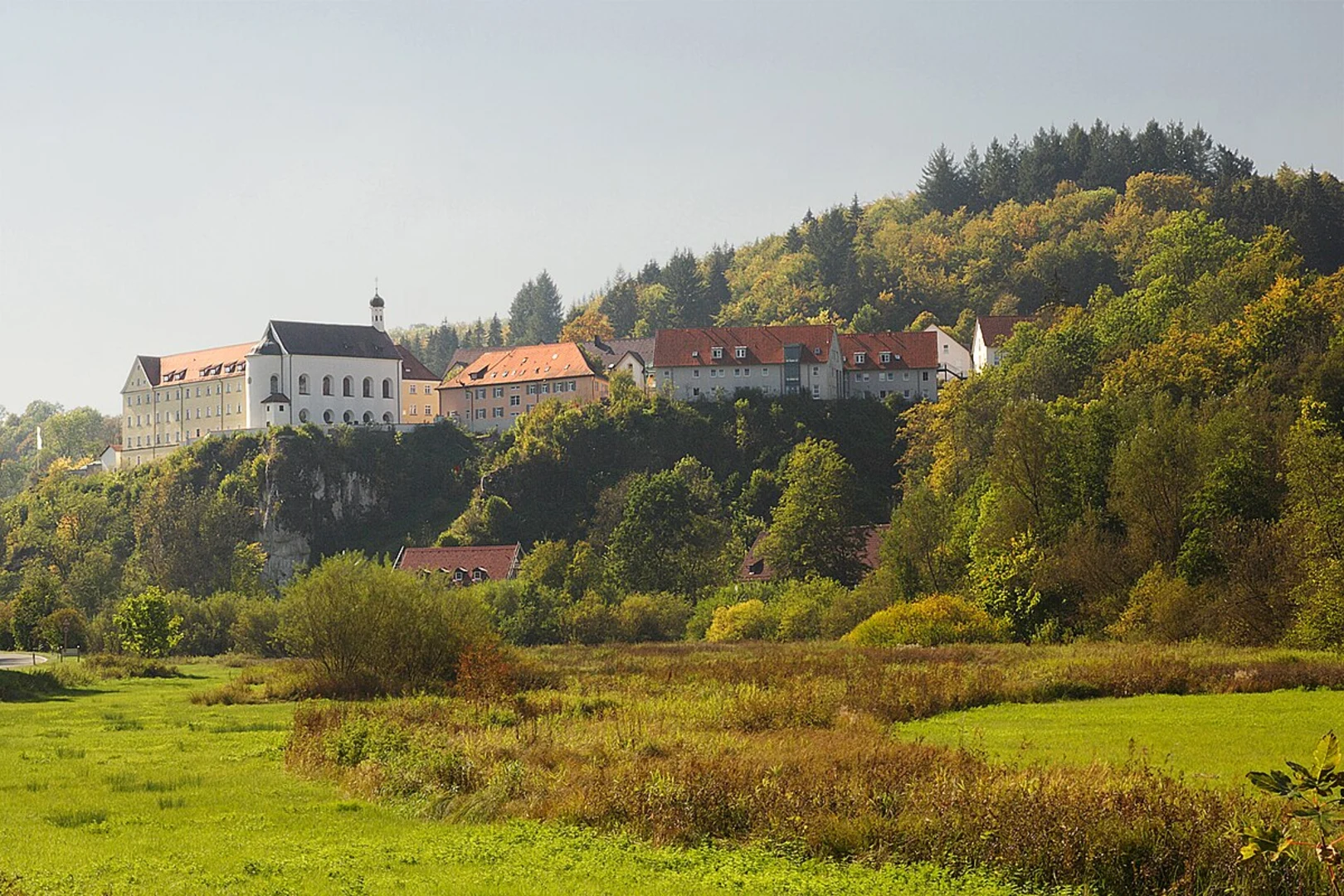
“Experience the Allgäu's natural beauty and Roman history on this scenic, moderately challenging 12 km loop trail.”
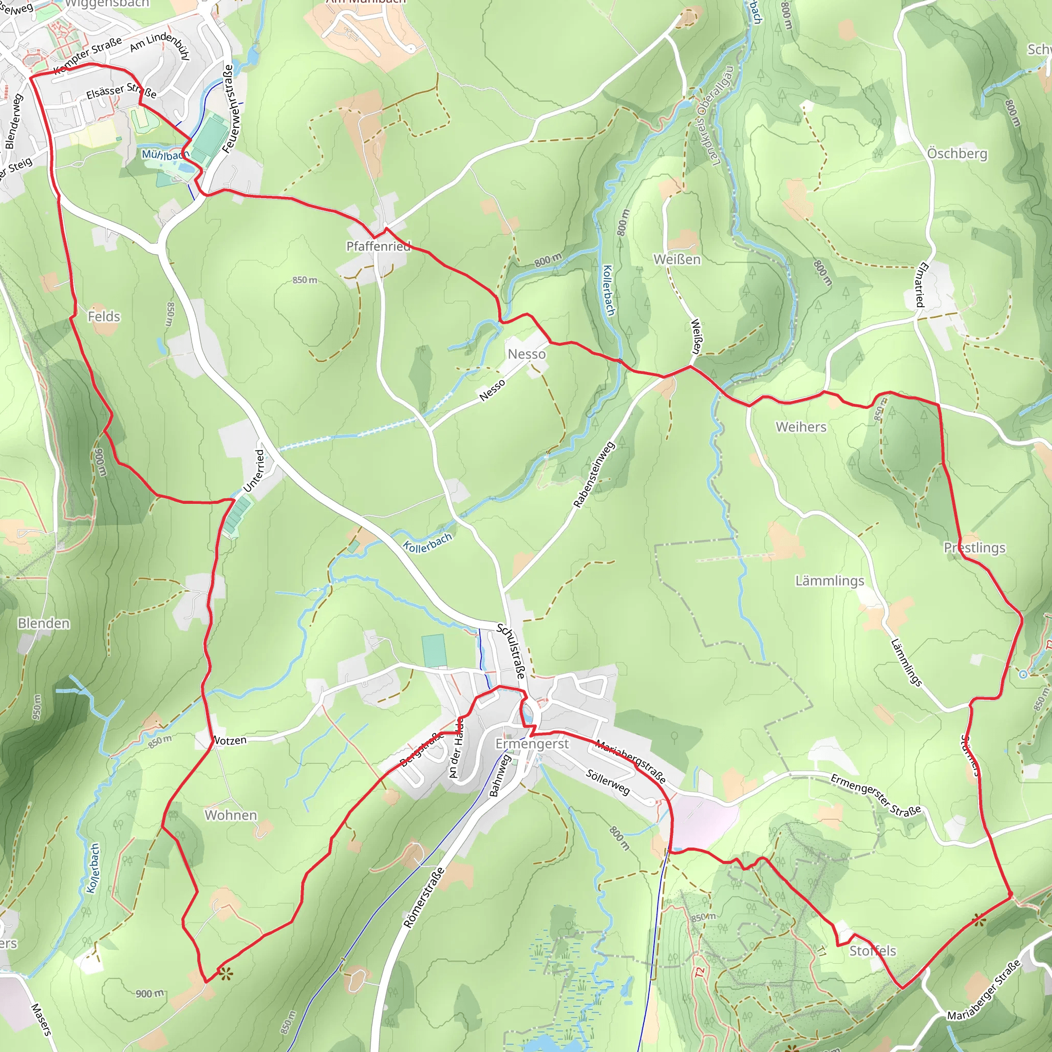
Starting near the picturesque town of Kempten in the Allgäu region of Germany, this 12 km (approximately 7.5 miles) loop trail offers a delightful mix of natural beauty and historical intrigue. With an elevation gain of around 200 meters (about 656 feet), the trail is rated as medium difficulty, making it accessible for most hikers with a moderate level of fitness.
Getting There To reach the trailhead, you can either drive or use public transport. If driving, head towards Kempten (Allgäu) and look for parking near the town center or designated trail parking areas. For those using public transport, Kempten is well-connected by train. From the Kempten Hauptbahnhof (main train station), local buses can take you closer to the trailhead. The nearest significant landmark to the trailhead is the St. Lorenz Basilica, a stunning Baroque church that is worth a visit before or after your hike.
Trail Highlights and Navigation The trail begins near the St. Lorenz Basilica and quickly immerses you in the serene landscapes of the Allgäu region. As you start, you'll pass through lush meadows and dense forests, typical of the Bavarian countryside. The initial part of the trail is relatively flat, allowing you to warm up before the more challenging sections.
#### Historical Significance One of the key highlights of this trail is its proximity to the ancient Roman settlement of Cambodunum. Approximately 3 km (1.9 miles) into the hike, you'll come across the Archaeological Park Cambodunum, where you can explore the ruins of this once-thriving Roman town. The park features well-preserved remnants of Roman baths, temples, and residential buildings, offering a fascinating glimpse into the region's historical past.
Nature and Wildlife As you continue, the trail ascends gently, providing panoramic views of the surrounding Allgäu Alps. Keep an eye out for local wildlife, including deer, foxes, and a variety of bird species. The forests are rich with flora, especially during spring and summer when wildflowers are in full bloom.
#### Midpoint and Elevation Gain Around the 6 km (3.7 miles) mark, you'll reach the highest point of the trail, with an elevation gain of approximately 200 meters (656 feet). This section offers some of the best views, so take a moment to rest and enjoy the scenery. The descent begins shortly after, leading you through more forested areas and open fields.
Final Stretch The last few kilometers of the trail loop back towards Kempten, passing through charming rural landscapes and small hamlets. As you approach the town, the trail becomes easier, allowing you to cool down before finishing your hike.
Navigation Tools For precise navigation and to ensure you stay on track, consider using the HiiKER app, which provides detailed maps and real-time updates for the Mariaberg Wanderung trail.
This trail offers a perfect blend of natural beauty, historical exploration, and moderate physical challenge, making it a rewarding experience for any hiker.
What to expect?
Activity types
Comments and Reviews
User comments, reviews and discussions about the Mariaberg Wanderung, Germany.
5.0
average rating out of 5
1 rating(s)

