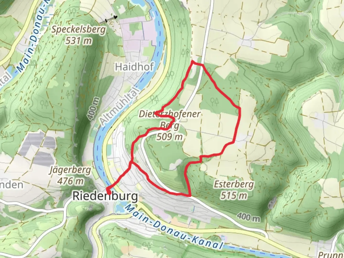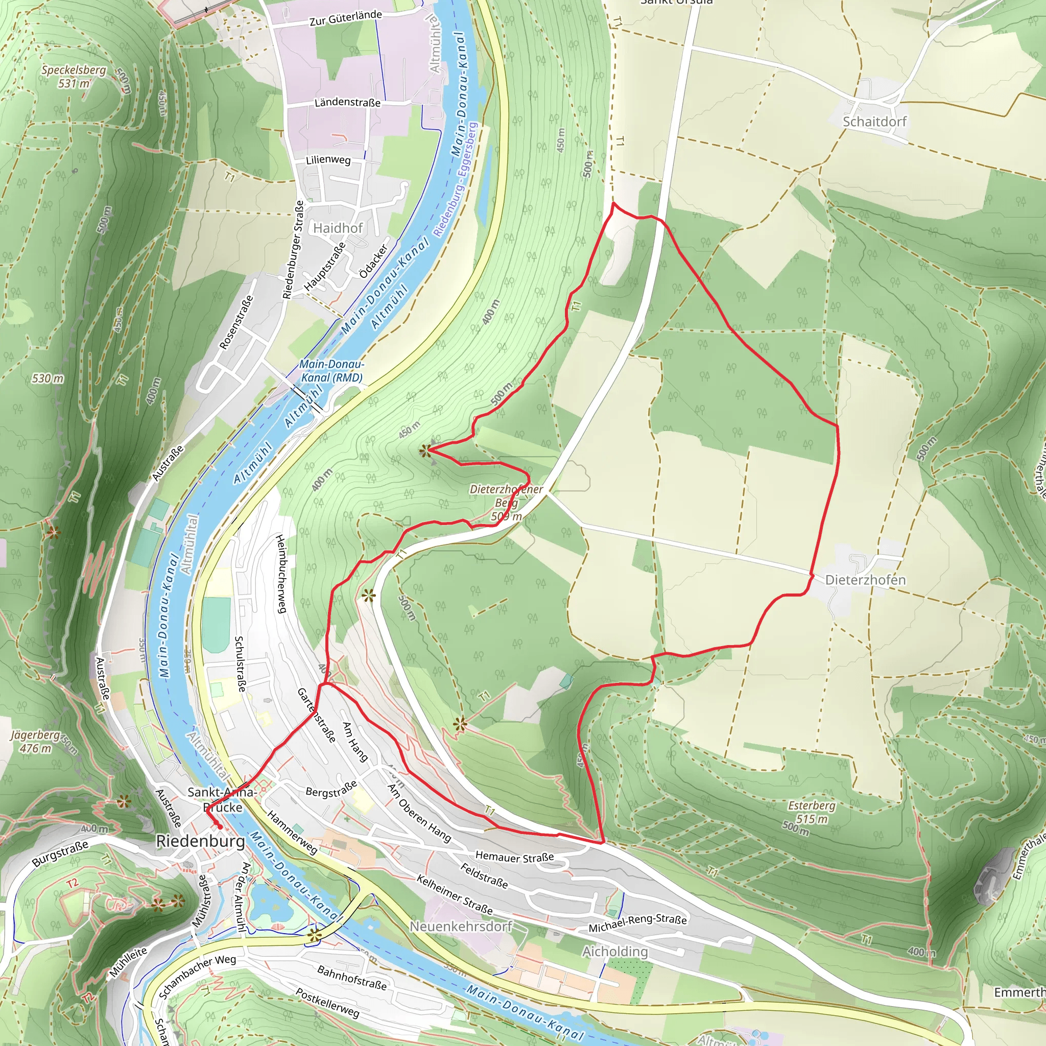
Schneiderkapelle, Fischerei und Naturlehrpfad and Dieterznofen Loop - Riedenburg
Download
Preview
Add to list
More
7.6 km
~1 hrs 52 min
219 m
Loop
“Explore Kelheim's scenic 8 km loop, rich in history, nature, and moderate hiking challenges.”
Starting near the picturesque town of Kelheim, Germany, the Schneiderkapelle, Fischerei und Naturlehrpfad and Dieterznofen Loop is an 8 km (approximately 5 miles) loop trail with an elevation gain of around 200 meters (656 feet). This trail offers a medium difficulty rating, making it suitable for moderately experienced hikers.
Getting There To reach the trailhead, you can either drive or use public transport. If driving, head towards Kelheim and look for parking options near the town center. For those using public transport, take a train to Kelheim and then a local bus to the nearest stop, which is Kelheim Bahnhof. From there, it's a short walk to the trailhead.
Trail Highlights #### Schneiderkapelle One of the first significant landmarks you'll encounter is the Schneiderkapelle, a charming chapel nestled in the Bavarian countryside. This small yet historically rich chapel offers a peaceful spot for reflection and a glimpse into the region's religious heritage.
#### Fischerei und Naturlehrpfad As you continue, you'll enter the Fischerei und Naturlehrpfad section of the trail. This part is particularly educational, featuring various informational boards about local fish species and the natural ecosystem. It's a great opportunity to learn about the aquatic life that thrives in the nearby waters.
#### Dieterznofen The trail then leads you to Dieterznofen, a quaint village that offers a peek into traditional Bavarian life. Here, you can see well-preserved architecture and perhaps even interact with some of the friendly locals. The village is a great place to take a short break and enjoy some local snacks.
Nature and Wildlife The trail is abundant with diverse flora and fauna. Depending on the season, you might see wildflowers in full bloom, various bird species, and perhaps even some small mammals. The forested sections provide ample shade, making it a pleasant hike even during warmer months.
Navigation For navigation, it's highly recommended to use HiiKER. The app provides detailed maps and real-time updates, ensuring you stay on the right path throughout your hike.
Elevation and Terrain The trail features a moderate elevation gain of around 200 meters (656 feet), with some steep sections that require careful footing. The terrain varies from well-maintained paths to more rugged, natural trails. Good hiking boots are advisable to navigate the different surfaces comfortably.
Historical Significance Kelheim and its surrounding areas are steeped in history. The town itself is known for its medieval architecture and historical landmarks, such as the Liberation Hall (Befreiungshalle), which commemorates the victories over Napoleon during the Wars of Liberation. As you hike, you'll be walking through areas that have been inhabited and cultivated for centuries, adding a layer of historical depth to your journey.
Practical Tips - **Water and Snacks:** Make sure to carry enough water and some snacks, as there are limited facilities along the trail. - **Weather:** Check the weather forecast before heading out. The trail can be slippery after rain, so appropriate footwear is essential. - **Wildlife:** While the wildlife is generally harmless, it's always good to be cautious and respectful of the natural habitat.
This trail offers a balanced mix of natural beauty, historical landmarks, and educational opportunities, making it a rewarding experience for any hiker.
What to expect?
Activity types
Comments and Reviews
User comments, reviews and discussions about the Schneiderkapelle, Fischerei und Naturlehrpfad and Dieterznofen Loop - Riedenburg, Germany.
4.0
average rating out of 5
1 rating(s)
