Download
Preview
Add to list
More
10.2 km
~2 hrs 38 min
359 m
Point-to-Point
“Explore the Thuringian Forest's beauty and history on the moderately challenging Gehren to Dreiherrenstein trail.”
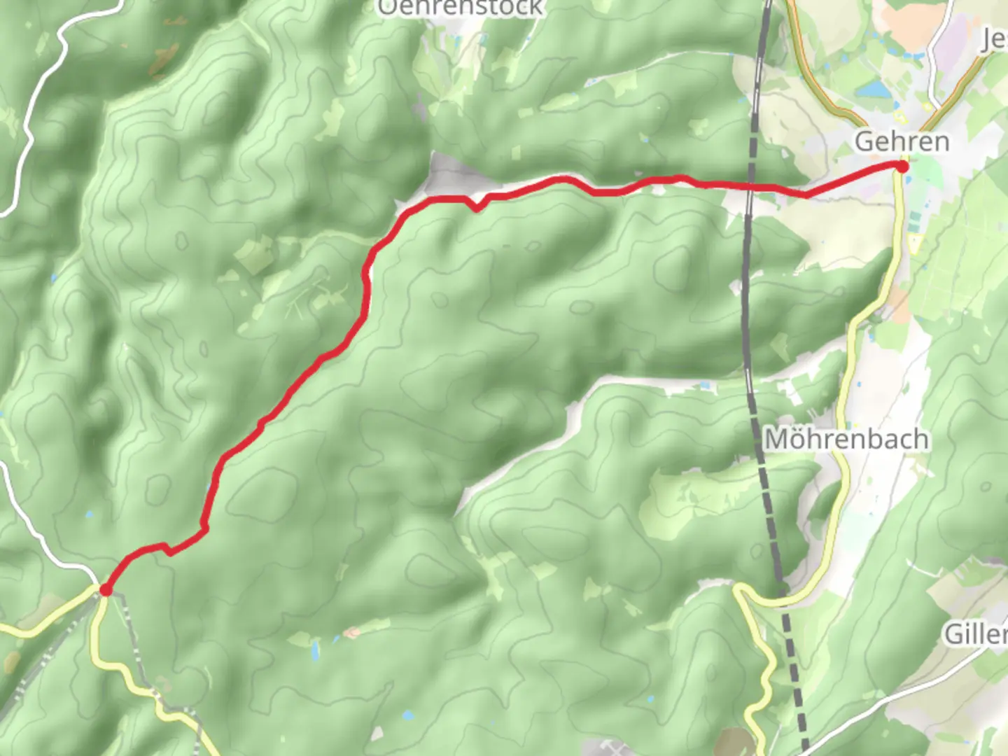
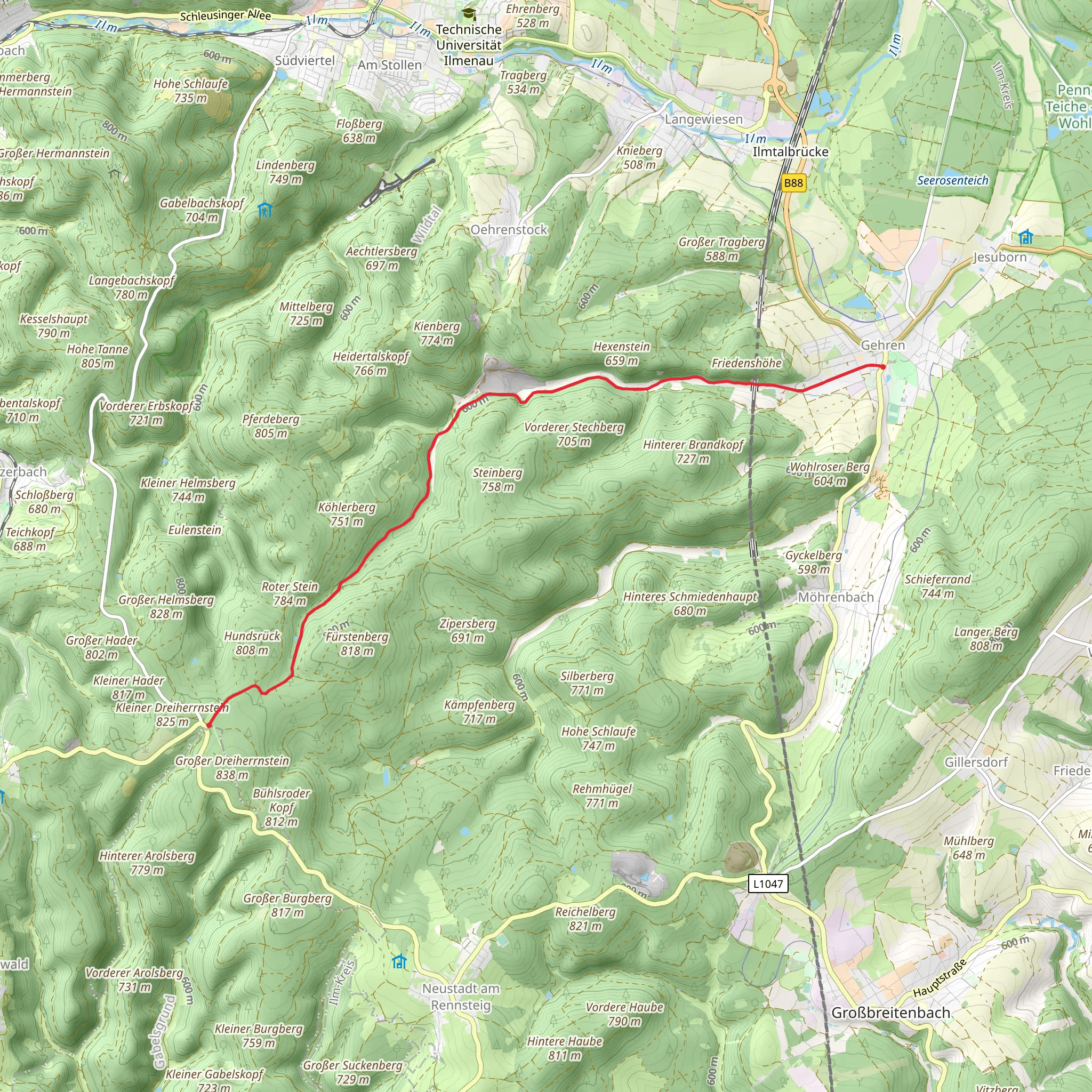
Starting near Ilm-Kreis, Germany, the Gehren to Dreiherrenstein via Lutherweg Thueringen - Suedschlaufe trail offers a captivating journey through the Thuringian Forest. This point-to-point trail spans approximately 10 kilometers (6.2 miles) with an elevation gain of around 300 meters (984 feet), making it a moderately challenging hike suitable for those with a reasonable level of fitness.
Getting There To reach the trailhead, you can either drive or use public transportation. If driving, head towards Gehren, a small town in the Ilm-Kreis district. There are parking facilities available near the starting point. For those using public transport, take a train to the nearest major station in Ilmenau and then a local bus to Gehren. The trailhead is conveniently located near the town center, making it easily accessible.
Trail Navigation and Landmarks Starting from Gehren, the trail initially meanders through charming forested areas, offering a serene atmosphere with the sounds of nature all around. The path is well-marked, but it's advisable to use the HiiKER app for precise navigation and to stay on track.
At around the 2-kilometer (1.2-mile) mark, you'll encounter the first significant landmark, the Lutherweg Thueringen. This section of the trail is part of the larger network of paths commemorating Martin Luther's journey through Thuringia. Historical markers and informational boards provide insights into Luther's life and the Reformation period, adding a rich historical context to your hike.
Flora and Fauna As you continue, the trail ascends gradually, offering glimpses of the diverse flora and fauna of the Thuringian Forest. Keep an eye out for native wildlife such as deer, foxes, and a variety of bird species. The forest is also home to an array of plant life, including ancient beech and oak trees, which provide ample shade and a cool respite during warmer months.
Midpoint and Elevation Gain Around the 5-kilometer (3.1-mile) mark, you'll reach the midpoint of the trail. Here, the elevation gain becomes more noticeable as you climb towards Dreiherrenstein. The ascent is steady but manageable, with the trail winding through dense forest and occasionally opening up to offer stunning views of the surrounding landscape.
Dreiherrenstein The final stretch of the trail leads you to Dreiherrenstein, a historical boundary stone marking the meeting point of three different territories. This landmark is steeped in history, symbolizing the complex political landscape of the region in centuries past. It's a great spot to take a break, enjoy a packed lunch, and soak in the panoramic views.
Final Tips Before setting out, ensure you have adequate water, snacks, and appropriate hiking gear. Weather in the Thuringian Forest can be unpredictable, so it's wise to check the forecast and dress in layers. Using the HiiKER app will help you stay on course and provide additional information about the trail and its features.
This hike offers a blend of natural beauty, historical significance, and moderate physical challenge, making it a rewarding experience for any outdoor enthusiast.
Comments and Reviews
User comments, reviews and discussions about the Gehren to Dreiherrenstein via Lutherweg Thueringen - Suedschlaufe, Germany.
average rating out of 5
0 rating(s)
