Download
Preview
Add to list
More
11.0 km
~2 hrs 41 min
302 m
Loop
“The Hohenloher Bauernlehrpfad offers a stunning mix of nature, history, and moderate hiking challenges.”
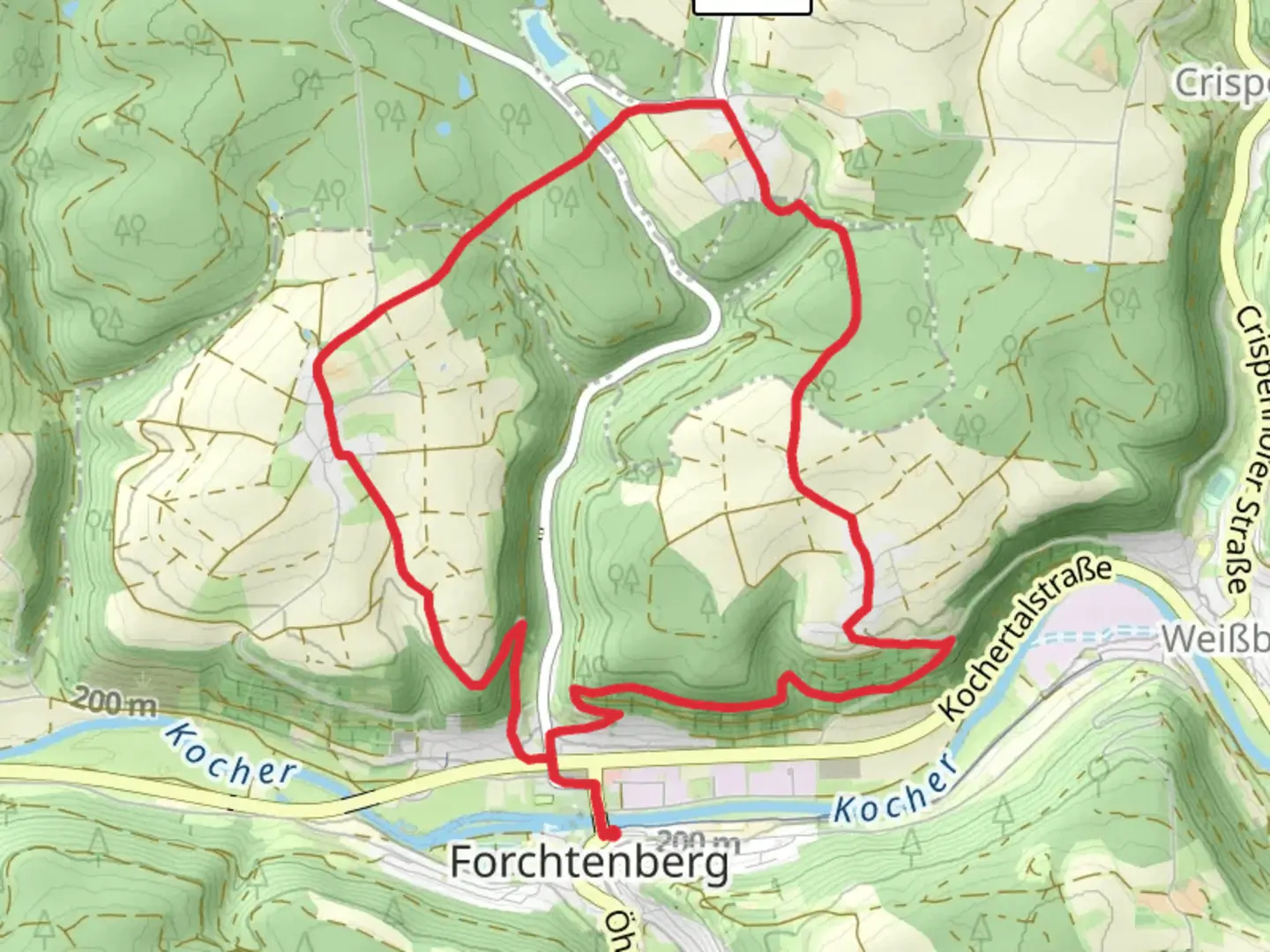
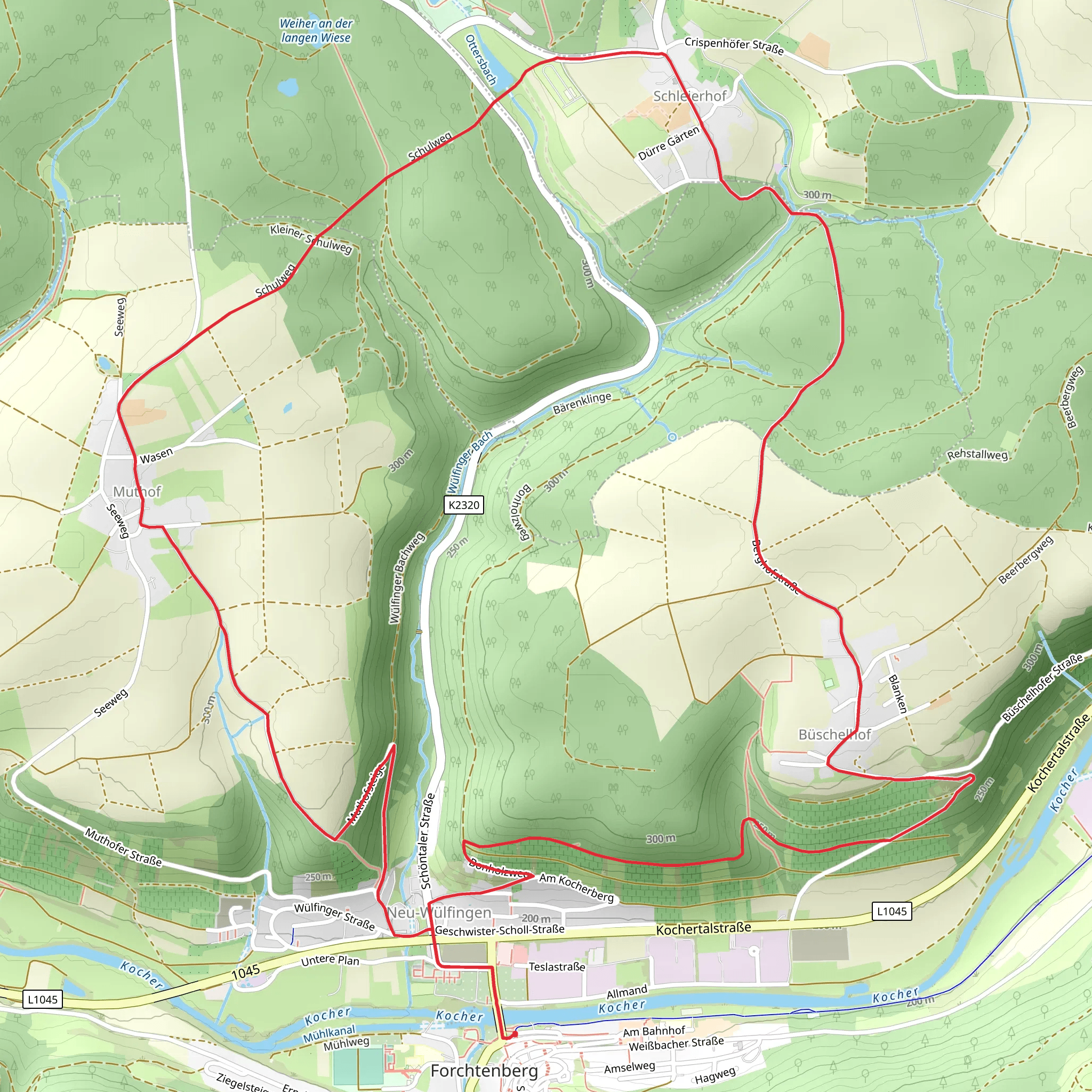
Starting near Hohenlohekreis, Germany, the Hohenloher Bauernlehrpfad is a captivating 11 km (approximately 6.8 miles) loop trail with an elevation gain of around 300 meters (984 feet). This trail is rated as medium difficulty, making it suitable for moderately experienced hikers.
Getting There To reach the trailhead, you can drive or use public transport. If driving, set your GPS to Hohenlohekreis, Germany, and look for parking near the trailhead. For public transport, take a train to the nearest station in Öhringen, and from there, you can catch a local bus or taxi to the trailhead.
Trail Overview The trail begins with a gentle ascent, allowing you to ease into the hike. As you progress, you'll encounter a mix of forested areas and open fields, providing a diverse hiking experience. The initial 2 km (1.2 miles) will take you through lush woodlands, where you can spot various bird species and small mammals.
Historical Significance Hohenlohekreis is rich in history, and this trail offers glimpses into the region's agricultural past. Along the way, you'll find informational boards detailing traditional farming techniques and the history of local agriculture. These boards are written in both German and English, making them accessible to international hikers.
Key Landmarks Around the 4 km (2.5 miles) mark, you'll come across a beautifully preserved half-timbered farmhouse, a testament to the region's architectural heritage. This is a great spot to take a break and enjoy a snack while soaking in the historical ambiance.
Nature and Wildlife As you continue, the trail opens up to expansive meadows filled with wildflowers, especially vibrant in the spring and summer months. Keep an eye out for deer and other wildlife that frequent these areas. The trail then ascends gradually, offering panoramic views of the surrounding countryside.
Navigation For navigation, it's highly recommended to use the HiiKER app, which provides detailed maps and real-time updates. The trail is well-marked, but having a reliable navigation tool will enhance your hiking experience.
Final Stretch The last 3 km (1.9 miles) of the trail take you through a series of rolling hills, offering a moderate challenge before descending back to the trailhead. This section is particularly scenic, with views of the Hohenlohekreis landscape that are especially stunning during sunset.
Practical Tips - Wear sturdy hiking boots, as some sections can be uneven. - Bring plenty of water and snacks, especially if hiking during warmer months. - Check the weather forecast before heading out, as conditions can change rapidly.
This trail offers a perfect blend of natural beauty, historical insight, and moderate physical challenge, making it a rewarding experience for any hiker.
Comments and Reviews
User comments, reviews and discussions about the Hohenloher Bauernlehrpfad, Germany.
average rating out of 5
0 rating(s)
