Download
Preview
Add to list
More
13.0 km
~2 hrs 52 min
174 m
Loop
“Explore Germany's Kolonnenweg trail, blending natural beauty and poignant history along a 13 km loop.”
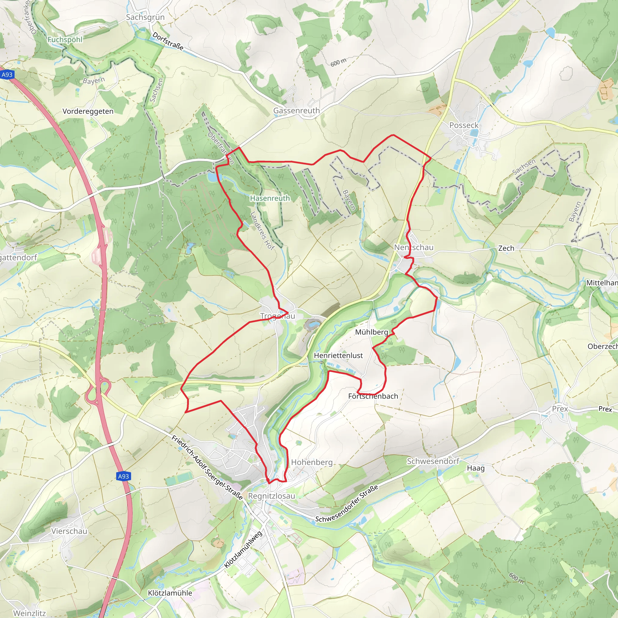
Starting near the town of Hof in Germany, this 13 km (approximately 8 miles) loop trail offers a moderate challenge with an elevation gain of around 100 meters (328 feet). The trailhead is easily accessible by car, with parking available near the starting point. For those using public transport, you can take a train to Hof Hauptbahnhof and then a local bus or taxi to the trailhead.
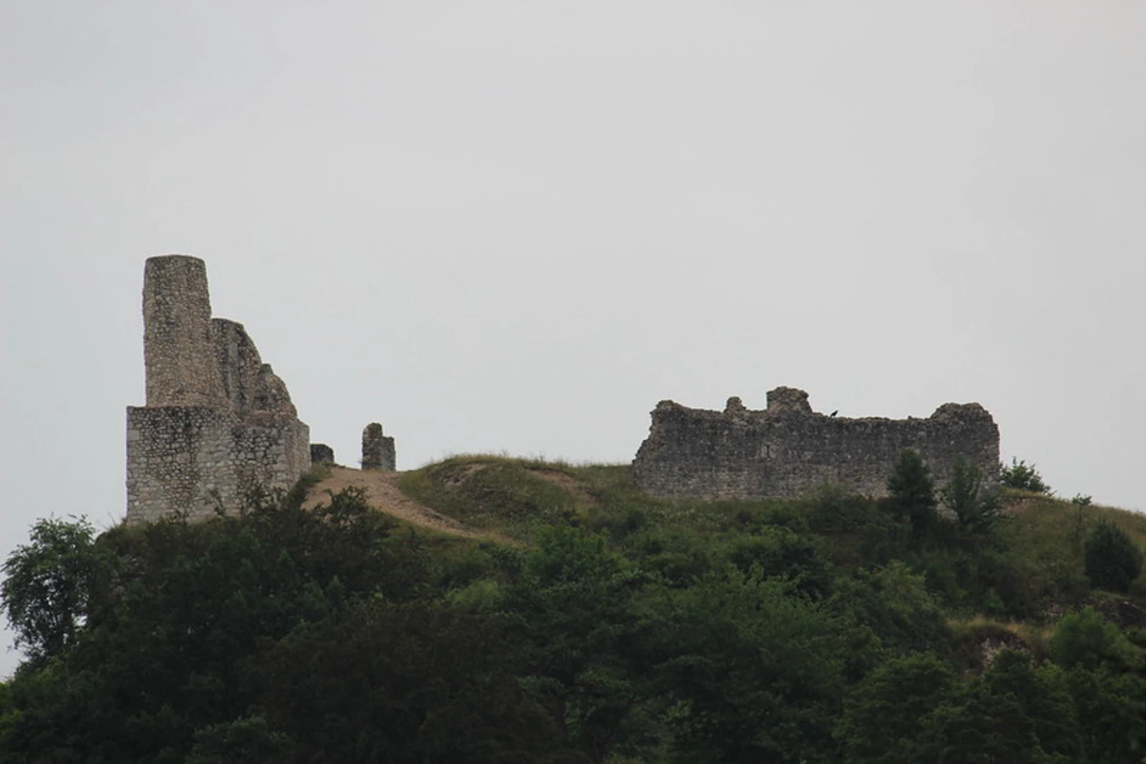
Historical Significance The Kolonnenweg trail follows a path that was once part of the former East-West German border. This historical significance adds a unique dimension to your hike, as you will be walking along a route that once divided two very different worlds. Along the way, you will encounter remnants of border installations, including watchtowers and fences, which serve as poignant reminders of Germany's divided past.
Trail Navigation and Landmarks Using HiiKER for navigation is highly recommended to ensure you stay on the correct path. The trail is well-marked, but having a reliable navigation tool can help you make the most of your hike.
- 0-3 km (0-1.9 miles): The initial section of the trail takes you through dense forests, offering a serene and shaded environment. Keep an eye out for various species of birds and small mammals that inhabit this area. The terrain is relatively flat, making it a good warm-up for the more challenging sections ahead.
- 3-6 km (1.9-3.7 miles): As you progress, the trail begins to ascend gradually. This section offers panoramic views of the surrounding countryside, including rolling hills and picturesque farmlands. You will also come across the first remnants of the border installations. Take a moment to reflect on the historical significance of these structures.
- 6-9 km (3.7-5.6 miles): The trail continues to climb, reaching its highest point around the 8 km (5-mile) mark. Here, you will find a well-preserved watchtower that offers a vantage point for stunning views of the landscape. This is a great spot for a rest and some photos. The elevation gain in this section is about 50 meters (164 feet), making it the most challenging part of the hike.
- 9-13 km (5.6-8 miles): The final section of the trail descends gradually back towards the starting point. This part of the hike takes you through open meadows and along the edges of small villages. The terrain is easier, allowing you to enjoy the natural beauty and perhaps spot some deer or other wildlife.
Flora and Fauna The Kolonnenweg trail is rich in biodiversity. The forests are home to a variety of tree species, including oak, beech, and pine. In the meadows, you will find wildflowers such as daisies, poppies, and buttercups, especially vibrant in the spring and summer months. Birdwatchers will appreciate the variety of species, including woodpeckers, owls, and various songbirds.
Practical Information - **Water and Food:** There are no facilities along the trail, so be sure to bring enough water and snacks for the entire hike. - **Clothing and Gear:** Wear sturdy hiking boots and dress in layers, as the weather can change rapidly. A rain jacket is advisable. - **Safety:** While the trail is generally safe, always let someone know your plans and estimated return time. Carry a basic first aid kit and a fully charged mobile phone.
This trail offers a unique blend of natural beauty and historical significance, making it a rewarding experience for any hiker.
Comments and Reviews
User comments, reviews and discussions about the Kolonnenweg, Germany.
4.33
average rating out of 5
3 rating(s)

