Download
Preview
Add to list
More
8.3 km
~1 hrs 54 min
145 m
Loop
“Hike the Friedelhöhe, Langenbach, and Schwedenwacht Loop for scenic views, wildlife, and historical charm.”
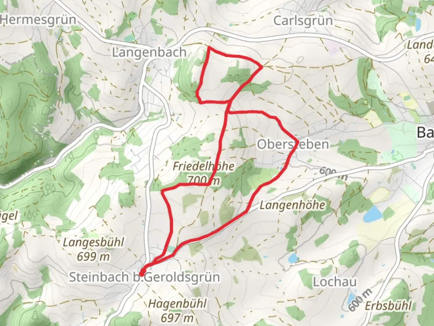
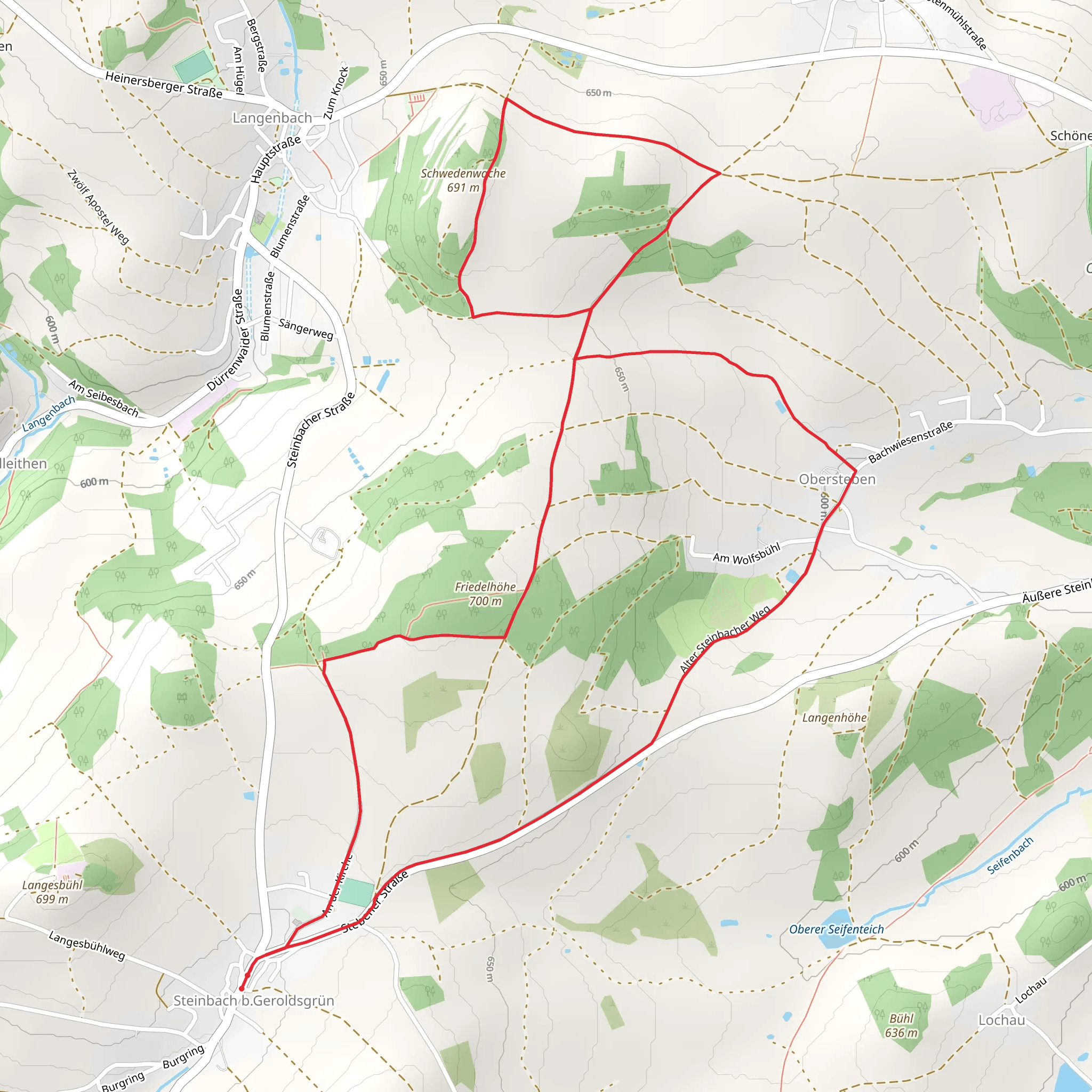
Starting near the charming town of Hof in Germany, the Friedelhöhe, Langenbach and Schwedenwacht Loop offers an 8 km (approximately 5 miles) journey through picturesque landscapes with an elevation gain of around 100 meters (328 feet). This loop trail is rated as medium difficulty, making it accessible for most hikers with a moderate level of fitness.
Getting There To reach the trailhead, you can drive or use public transport. If driving, set your GPS to the vicinity of Hof, Germany, and look for parking options near the trailhead. For those using public transport, Hof is well-connected by train. From the Hof Hauptbahnhof (main train station), you can take a local bus or taxi to the trailhead area.
Trail Highlights The trail begins with a gentle ascent, leading you through lush forests and open meadows. As you hike, you'll encounter a variety of flora and fauna native to the region. Keep an eye out for deer, foxes, and a diverse array of bird species that inhabit these woods.
#### Friedelhöhe Approximately 2 km (1.2 miles) into the hike, you'll reach Friedelhöhe, a small hill offering panoramic views of the surrounding countryside. This is a great spot to take a short break and enjoy the scenery. The elevation gain here is gradual, making it a pleasant climb.
#### Langenbach Continuing on, the trail descends slightly into the Langenbach valley. This section is particularly scenic, with a small stream running alongside the path. The sound of flowing water adds a serene backdrop to your hike. This part of the trail is relatively flat, allowing you to catch your breath before the next ascent.
#### Schwedenwacht Around the 5 km (3.1 miles) mark, you'll arrive at Schwedenwacht, a historical lookout point. This area holds significant historical importance, dating back to the Thirty Years' War when Swedish troops used it as a vantage point. The views from here are spectacular, offering a glimpse into the region's past while providing a stunning overlook of the landscape.
Navigation and Safety For navigation, it's highly recommended to use the HiiKER app, which provides detailed maps and real-time tracking to ensure you stay on the correct path. The trail is well-marked, but having a reliable navigation tool can enhance your hiking experience and provide peace of mind.
Flora and Fauna Throughout the hike, you'll traverse through mixed forests dominated by beech, oak, and pine trees. In the spring and summer months, the meadows are adorned with wildflowers, adding vibrant colors to the landscape. The diverse ecosystem supports a variety of wildlife, so be sure to tread lightly and respect the natural habitat.
Final Stretch The final stretch of the loop brings you back through a series of gentle slopes and forested areas, eventually leading you back to the trailhead. This section is a great opportunity to reflect on the hike and enjoy the tranquility of the forest.
This loop trail offers a perfect blend of natural beauty, historical significance, and moderate physical challenge, making it a rewarding experience for any hiker.
What to expect?
Activity types
Comments and Reviews
User comments, reviews and discussions about the Friedelhöhe, Langenbach and Schwedenwacht Loop, Germany.
average rating out of 5
0 rating(s)
