Download
Preview
Add to list
More
9.1 km
~2 hrs 10 min
209 m
Loop
“Discover the scenic 9 km Rundwanderweg Eichenblatt Mauloff and Taunusklub Route, blending nature, history, and wildlife.”
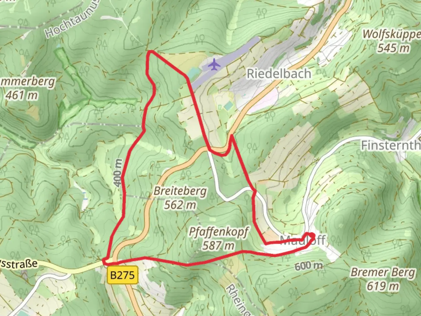
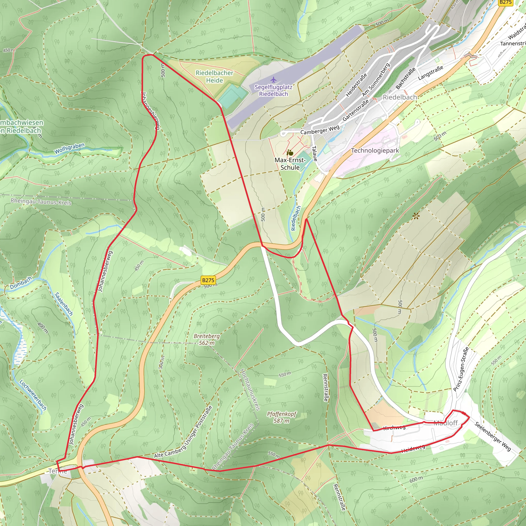
Starting near Hochtaunuskreis, Germany, the Rundwanderweg Eichenblatt Mauloff and Taunusklub Route is a scenic 9 km (5.6 miles) loop trail with an elevation gain of approximately 200 meters (656 feet). This medium-difficulty trail offers a delightful mix of natural beauty, historical landmarks, and diverse wildlife, making it a rewarding experience for hikers.### Getting There To reach the trailhead, you can either drive or use public transport. If driving, set your GPS to Hochtaunuskreis, Germany, and look for parking near the village of Mauloff. For those using public transport, take a train to the nearest major station, such as Bad Homburg, and then a local bus to Mauloff. The trailhead is conveniently located near the village, making it easily accessible.### Trail Navigation For navigation, it is highly recommended to use the HiiKER app, which provides detailed maps and real-time updates. This will help you stay on track and make the most of your hiking experience.### Trail Highlights The trail begins with a gentle ascent through a lush forest, where you can enjoy the serene ambiance and the sound of birds chirping. After about 1 km (0.6 miles), you will come across the first significant landmark, the Eichenblatt, a large oak leaf-shaped sculpture that symbolizes the region's rich natural heritage.### Historical Significance As you continue, you will encounter several historical markers that tell the story of the Taunus region. Around the 3 km (1.9 miles) mark, you will find the remnants of an old Roman road, a testament to the area's historical importance during the Roman Empire. This section of the trail offers a fascinating glimpse into the past, with informational plaques providing context and details.### Nature and Wildlife The trail meanders through diverse landscapes, including dense forests, open meadows, and rolling hills. Keep an eye out for local wildlife such as deer, foxes, and various bird species. The flora is equally impressive, with a mix of deciduous and coniferous trees, wildflowers, and ferns.### Midpoint Rest Area At approximately 4.5 km (2.8 miles), you will reach a picturesque rest area with benches and a small picnic spot. This is an ideal place to take a break, enjoy a snack, and soak in the panoramic views of the Taunus hills.### Final Stretch The final stretch of the trail involves a gradual descent back towards Mauloff. This section offers stunning views of the surrounding countryside, especially during the autumn months when the foliage turns vibrant shades of red, orange, and yellow.### Practical Tips - Wear sturdy hiking boots, as some sections of the trail can be uneven and rocky. - Bring plenty of water and snacks, especially if you plan to take breaks along the way. - Check the weather forecast before heading out, as conditions can change rapidly in the Taunus region. - Use the HiiKER app for real-time navigation and updates.This 9 km loop trail offers a perfect blend of natural beauty, historical intrigue, and moderate physical challenge, making it an excellent choice for hikers looking to explore the Taunus region.
Comments and Reviews
User comments, reviews and discussions about the Rundwanderweg Eichenblatt Mauloff and Taunusklub Route, Germany.
4.5
average rating out of 5
2 rating(s)
