Download
Preview
Add to list
More
14.7 km
~3 hrs 42 min
463 m
Loop
“This 15 km loop trail near Winterberg offers lush forests, panoramic views, and rich historical landmarks.”
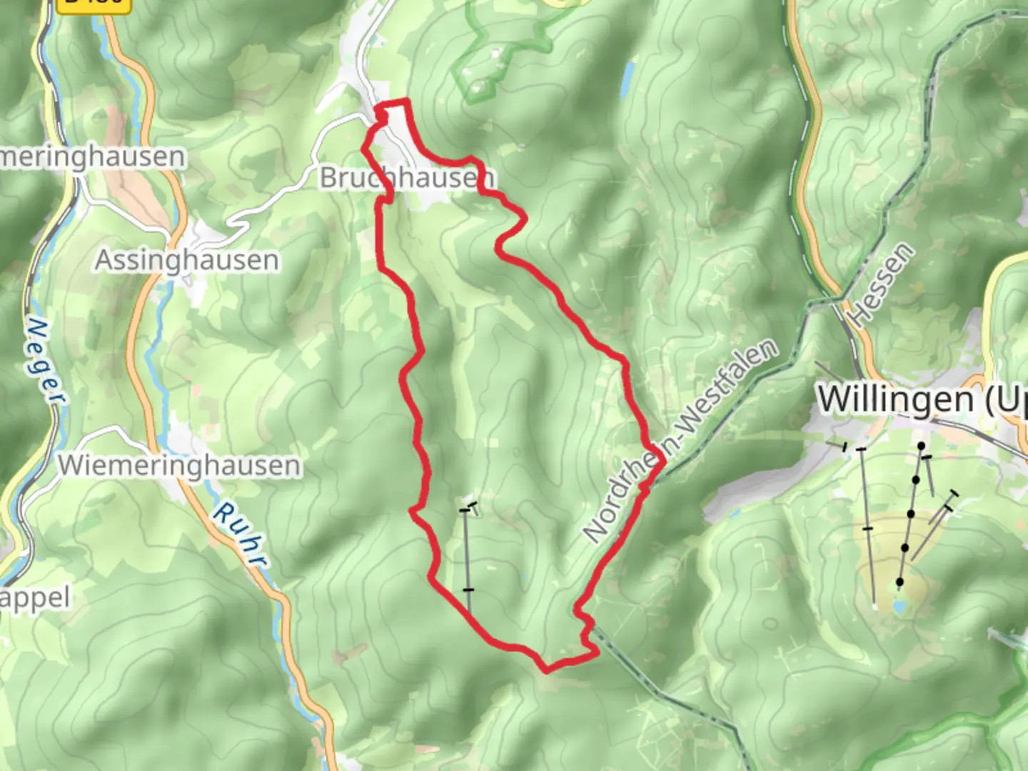
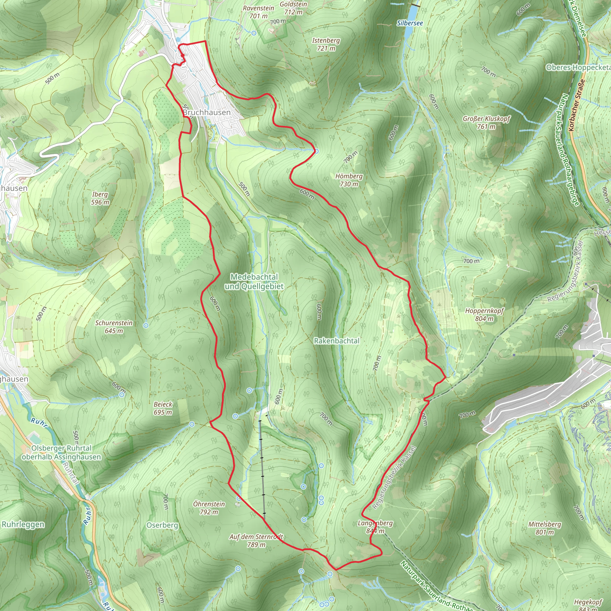
Starting your hike near Hochsauerlandkreis, Germany, this 15 km (approximately 9.3 miles) loop trail offers a moderate challenge with an elevation gain of around 400 meters (about 1,312 feet). The trailhead is conveniently accessible by both car and public transport. If you're driving, you can park near the town of Winterberg, which is a well-known starting point for many hiking adventures in the region. For those using public transport, Winterberg is also accessible by train and bus services from major cities like Dortmund and Kassel.### Initial Ascent and Rothaarsteig The trail begins with a gradual ascent through dense forests, typical of the Rothaargebirge mountain range. The first few kilometers will take you along the Rothaarsteig, a well-marked and popular long-distance trail. This section is characterized by its lush greenery and the occasional clearing that offers panoramic views of the surrounding landscape. Keep an eye out for the diverse flora and fauna; deer and various bird species are commonly spotted here.### Midway Point and Langenberg Summit Around the 7 km (4.3 miles) mark, you'll reach the highest point of the trail, Langenberg, which stands at 843 meters (2,766 feet) above sea level. This is the highest peak in North Rhine-Westphalia and offers stunning views that make the climb worthwhile. The summit area is relatively open, providing a perfect spot for a short break and some photography. Historical markers and information boards here detail the significance of the region, including its role in local folklore and its geological history.### Descent and Rothaarweg After enjoying the summit, the trail begins its descent, transitioning onto the Rothaarweg. This part of the trail is less steep but equally scenic, winding through mixed forests and meadows. The descent offers a different perspective of the landscape, with more opportunities to spot wildlife and enjoy the tranquility of the forest. The Rothaarweg is also well-marked, making navigation straightforward. For those who prefer digital navigation tools, the HiiKER app provides detailed maps and real-time updates.### Historical and Cultural Significance The Rothaargebirge region is steeped in history. The trail passes near several historical sites, including ancient boundary stones and remnants of old trade routes. These landmarks offer a glimpse into the area's past, from medieval times to more recent history. The region was also a significant area during the Cold War, with various bunkers and military installations that have since been decommissioned but remain points of interest for history enthusiasts.### Final Stretch and Return to Trailhead The final stretch of the trail loops back towards the starting point near Winterberg. This section is relatively flat and easy, allowing you to cool down and reflect on the hike. The trail ends where it began, making it convenient for those who parked their cars or need to catch public transport back to their accommodations.### Practical Information - Water and Supplies: There are no water sources directly on the trail, so bring enough water and snacks for the entire hike. - Weather: The weather can be unpredictable, especially at higher elevations, so pack accordingly. - Safety: While the trail is well-marked, it's always a good idea to have a map or use the HiiKER app for navigation.This trail offers a balanced mix of natural beauty, physical challenge, and historical intrigue, making it a rewarding experience for any hiker.
What to expect?
Activity types
Comments and Reviews
User comments, reviews and discussions about the Langenberg via Rothaarsteig and Rothaarweg, Germany.
4.5
average rating out of 5
4 rating(s)
