Download
Preview
Add to list
More
10.5 km
~2 hrs 20 min
143 m
Loop
“The Ottbergen Walk is a scenic 11-kilometer loop offering natural beauty, historical intrigue, and moderate hiking.”
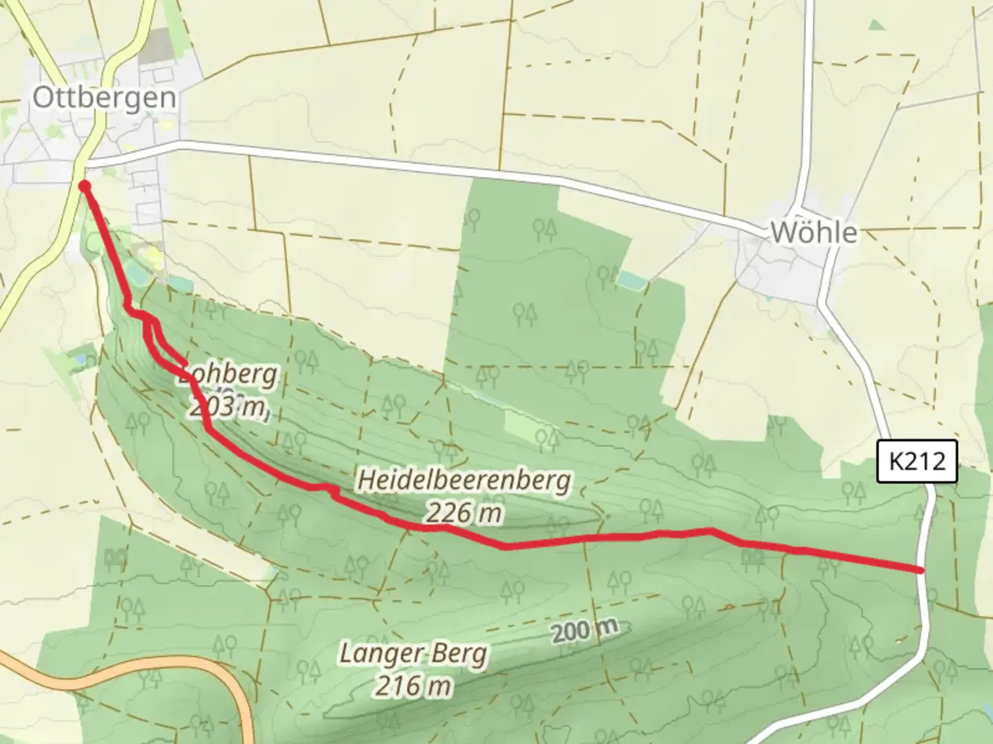
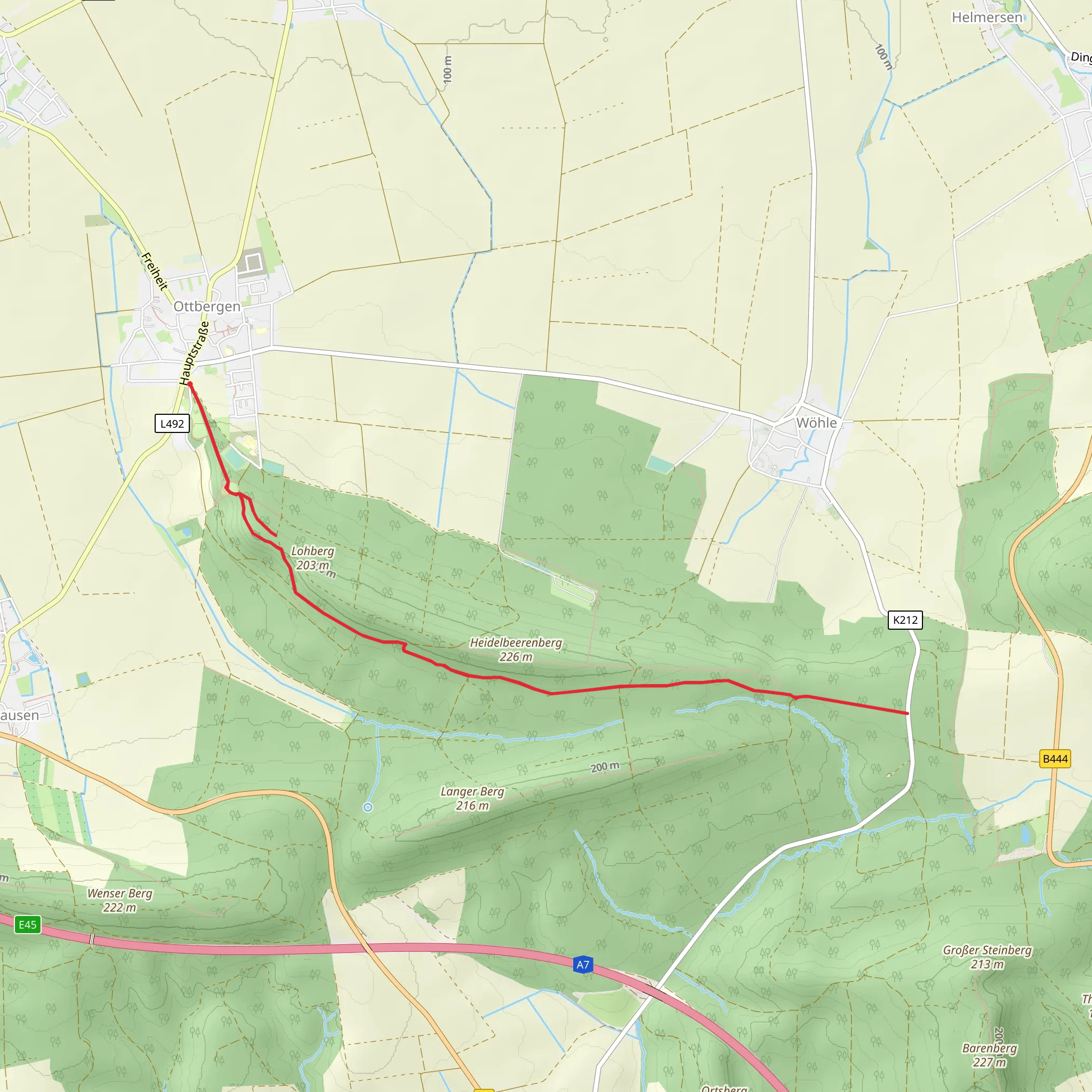
Starting near Hildesheim, Germany, the Ottbergen Walk is a delightful loop trail that spans approximately 11 kilometers (around 6.8 miles) with an elevation gain of about 100 meters (328 feet). This trail is rated as medium difficulty, making it suitable for moderately experienced hikers.
Getting There To reach the trailhead, you can either drive or use public transport. If driving, set your GPS to Ottbergen, a small village near Hildesheim. For those using public transport, take a train to Hildesheim Hauptbahnhof and then a local bus to Ottbergen. The trailhead is conveniently located near the village center, making it easily accessible.
Trail Overview The Ottbergen Walk offers a mix of forested paths, open fields, and charming rural landscapes. The loop design ensures that you start and end at the same point, making logistics simpler.
#### Initial Ascent Starting from the village, the trail begins with a gentle ascent through a mixed forest. This section is about 2 kilometers (1.2 miles) long and gains approximately 50 meters (164 feet) in elevation. The forest is home to a variety of wildlife, including deer and numerous bird species, so keep your eyes peeled.
#### Midway Point and Scenic Views Around the 5-kilometer (3.1-mile) mark, you'll reach a clearing that offers panoramic views of the surrounding countryside. This is a great spot to take a break and enjoy the scenery. The elevation gain here is minimal, making it a relatively easy section of the trail.
#### Historical Significance As you continue, you'll pass by several historical landmarks. One notable site is the remnants of an old watchtower dating back to the medieval period. This tower was part of a network used to signal and defend the region. Information plaques provide historical context, making this a fascinating stop.
Flora and Fauna The trail is rich in biodiversity. In the spring and summer months, the fields are adorned with wildflowers, attracting a variety of pollinators like bees and butterflies. The forested sections are dominated by oak and beech trees, providing ample shade and a cool respite during warmer days.
Final Descent The last 3 kilometers (1.9 miles) of the trail take you through more open fields and gently descend back towards Ottbergen. This section is relatively flat, making for a leisurely end to your hike. Along the way, you'll pass by small farms and might even encounter some local livestock.
Navigation For navigation, it's highly recommended to use HiiKER, which provides detailed maps and real-time updates to ensure you stay on track. The trail is well-marked, but having a reliable navigation tool can enhance your hiking experience.
Practical Tips - Wear sturdy hiking boots, as some sections can be uneven. - Bring enough water and snacks, especially if you plan to take breaks and enjoy the scenery. - Check the weather forecast before heading out, as the trail can become muddy after rain.
The Ottbergen Walk offers a perfect blend of natural beauty, historical intrigue, and moderate physical challenge, making it a rewarding experience for any hiker.
What to expect?
Activity types
Comments and Reviews
User comments, reviews and discussions about the Ottbergen Walk, Germany.
5.0
average rating out of 5
1 rating(s)
