Download
Preview
Add to list
More
9.5 km
~2 hrs 11 min
174 m
Loop
“Discover the Leine and Humberg Loop: a scenic 10 km trail blending nature, moderate challenge, and history.”
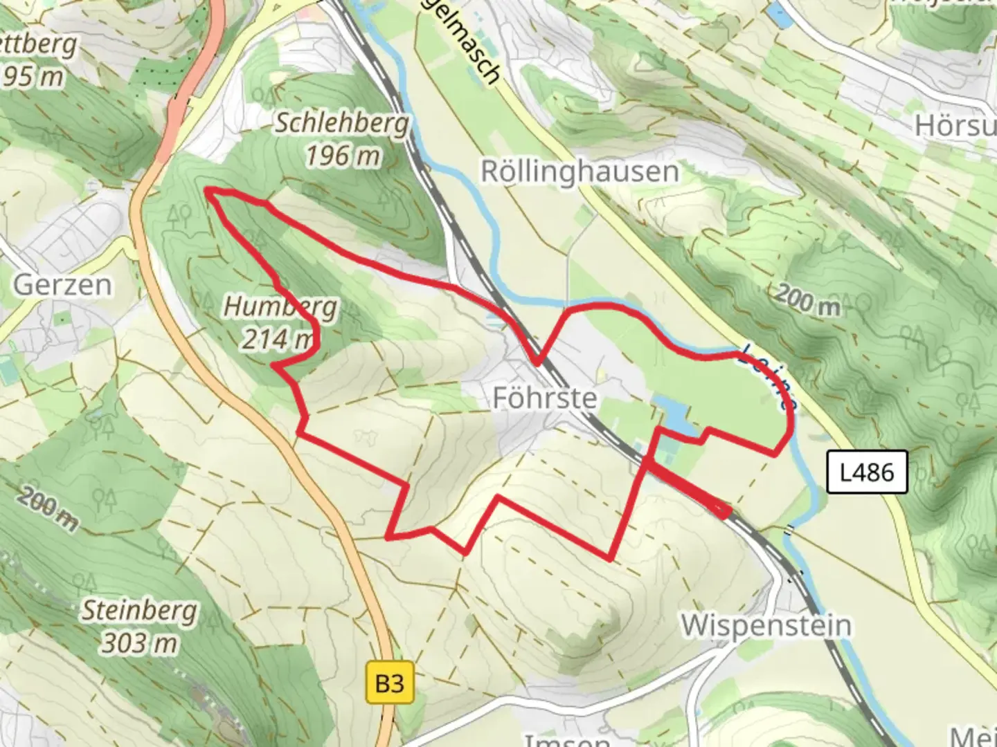
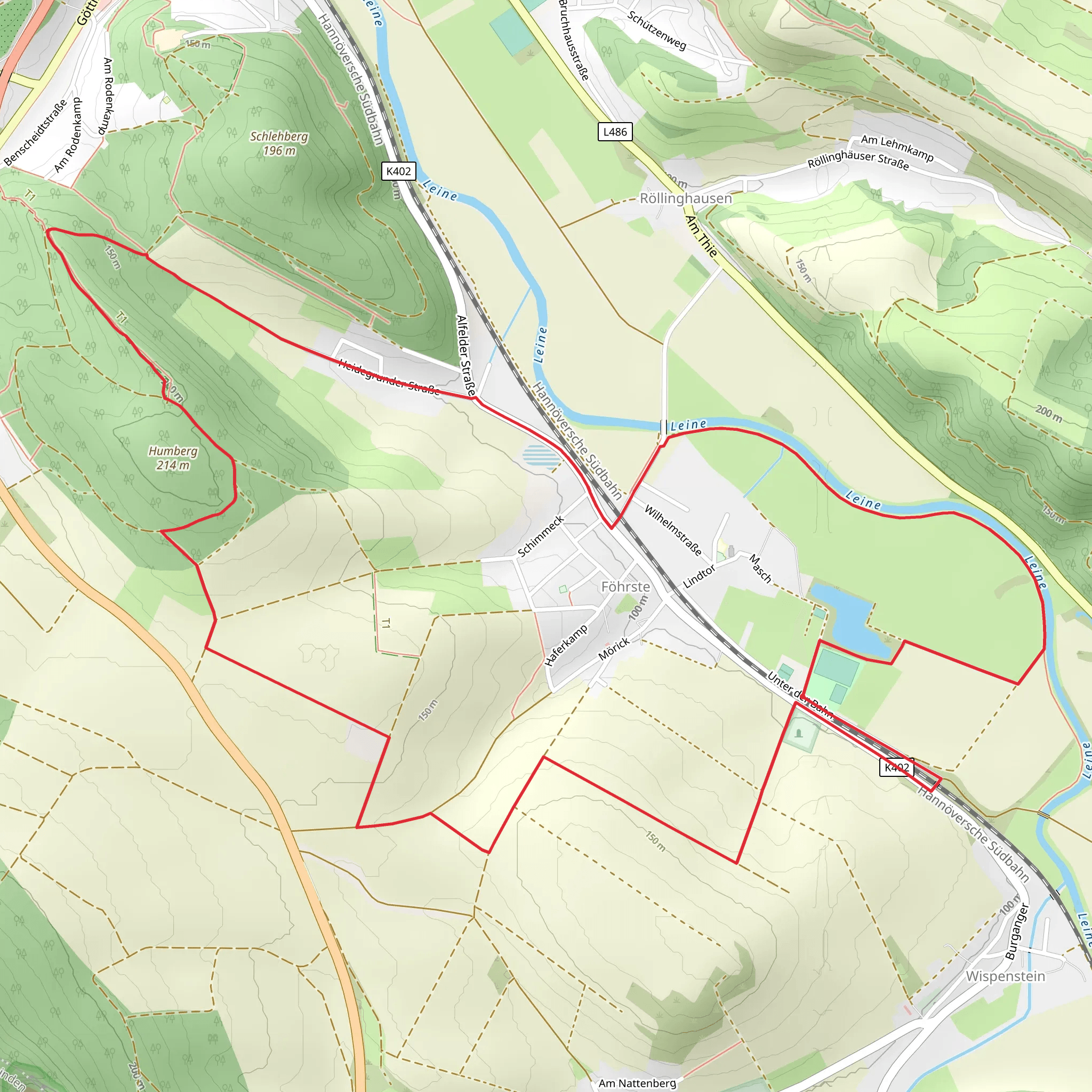
Starting near the charming town of Hildesheim, Germany, the Leine and Humberg Loop is a delightful 10 km (6.2 miles) trail with an elevation gain of around 100 meters (328 feet). This loop trail offers a medium difficulty rating, making it accessible for most hikers with a moderate level of fitness.
Getting There To reach the trailhead, you can either drive or use public transport. If you're driving, set your GPS to Hildesheim and look for parking near the outskirts of the town, close to the Leine River. For those using public transport, Hildesheim is well-connected by train from major cities like Hanover. From the Hildesheim Hauptbahnhof (main train station), you can take a local bus or taxi to the trailhead.
Trail Navigation For navigation, it's highly recommended to use the HiiKER app, which provides detailed maps and real-time updates. The trail is well-marked, but having a reliable navigation tool will ensure you stay on track.
Trail Highlights The trail begins near the Leine River, offering picturesque views of the water and surrounding greenery. As you start your hike, you'll notice the gentle ascent, which gradually increases as you approach the Humberg area.
#### Leine River The first section of the trail runs parallel to the Leine River. This part of the hike is relatively flat and easy, making it a great warm-up. The riverbanks are lush with vegetation, and you might spot various bird species, including kingfishers and herons.
#### Humberg Forest Around the 3 km (1.9 miles) mark, you'll enter the Humberg Forest. This section involves a moderate climb, gaining about 50 meters (164 feet) in elevation. The forest is dense with oak and beech trees, providing ample shade and a serene atmosphere. Keep an eye out for deer and wild boar, which are commonly seen in this area.
#### Historical Significance Hildesheim and its surrounding areas are steeped in history. The town itself dates back to the early Middle Ages and is known for its UNESCO World Heritage sites, including St. Michael's Church and the Hildesheim Cathedral. While the trail itself doesn't pass these landmarks, it's worth exploring the town either before or after your hike.
Midpoint and Rest Areas At approximately 5 km (3.1 miles), you'll reach the highest point of the trail in the Humberg area. Here, you'll find a small clearing with benches, making it an ideal spot for a rest and a snack. The elevation gain here is around 100 meters (328 feet), offering panoramic views of the surrounding countryside.
Return Loop The descent begins after the midpoint, leading you back towards the Leine River. This section is less strenuous but still requires careful footing, especially if the ground is wet. The trail loops back to the starting point, completing the 10 km (6.2 miles) circuit.
Flora and Fauna Throughout the hike, you'll encounter a variety of plant and animal life. The Leine River area is rich in aquatic plants and fish, while the Humberg Forest is home to diverse flora, including wildflowers and mushrooms. Birdwatchers will appreciate the variety of species, from woodland birds to waterfowl.
Final Stretch The final stretch of the trail brings you back along the Leine River, offering a gentle and scenic end to your hike. The loop concludes near the starting point, where you can easily find your way back to Hildesheim for a well-deserved rest or further exploration of the town's historical sites.
This trail offers a balanced mix of natural beauty, moderate physical challenge, and historical context, making it a rewarding experience for any hiker.
What to expect?
Activity types
Comments and Reviews
User comments, reviews and discussions about the Leine and Humberg Loop, Germany.
4.5
average rating out of 5
4 rating(s)
